8831 High St NE Pleasantville, OH 43148
Estimated Value: $207,083 - $311,000
1
Bed
1
Bath
1,440
Sq Ft
$171/Sq Ft
Est. Value
About This Home
This home is located at 8831 High St NE, Pleasantville, OH 43148 and is currently estimated at $246,021, approximately $170 per square foot. 8831 High St NE is a home located in Fairfield County with nearby schools including Pleasantville Elementary School and Fairfield Union High School.
Ownership History
Date
Name
Owned For
Owner Type
Purchase Details
Closed on
Apr 8, 2019
Sold by
Taylor Jody Lynn
Bought by
Taylor Michael David
Current Estimated Value
Home Financials for this Owner
Home Financials are based on the most recent Mortgage that was taken out on this home.
Original Mortgage
$55,700
Outstanding Balance
$36,254
Interest Rate
4.4%
Mortgage Type
New Conventional
Estimated Equity
$209,767
Purchase Details
Closed on
Aug 22, 1996
Sold by
Terry Charles J
Bought by
Taylor Michael D and Taylor Jody L
Purchase Details
Closed on
May 9, 1996
Sold by
Dickson Virginia A
Bought by
Terry Charles J and Terry Heather
Purchase Details
Closed on
Jan 23, 1996
Sold by
Dickenson Virginia A
Bought by
Terry Charles J and Terry Heather
Purchase Details
Closed on
Jun 1, 1986
Create a Home Valuation Report for This Property
The Home Valuation Report is an in-depth analysis detailing your home's value as well as a comparison with similar homes in the area
Home Values in the Area
Average Home Value in this Area
Purchase History
| Date | Buyer | Sale Price | Title Company |
|---|---|---|---|
| Taylor Michael David | -- | First American Title Direct | |
| Taylor Michael D | $21,750 | -- | |
| Terry Charles J | $18,000 | -- | |
| Terry Charles J | $5,000 | -- | |
| -- | $3,800 | -- |
Source: Public Records
Mortgage History
| Date | Status | Borrower | Loan Amount |
|---|---|---|---|
| Open | Taylor Michael David | $55,700 | |
| Closed | Taylor Michael D | $0 |
Source: Public Records
Tax History Compared to Growth
Tax History
| Year | Tax Paid | Tax Assessment Tax Assessment Total Assessment is a certain percentage of the fair market value that is determined by local assessors to be the total taxable value of land and additions on the property. | Land | Improvement |
|---|---|---|---|---|
| 2024 | $3,178 | $44,820 | $4,710 | $40,110 |
| 2023 | $1,646 | $44,820 | $4,710 | $40,110 |
| 2022 | $1,646 | $44,820 | $4,710 | $40,110 |
| 2021 | $1,337 | $33,210 | $3,930 | $29,280 |
| 2020 | $1,340 | $33,210 | $3,930 | $29,280 |
| 2019 | $1,342 | $33,210 | $3,930 | $29,280 |
| 2018 | $877 | $22,630 | $3,570 | $19,060 |
| 2017 | $878 | $20,980 | $3,570 | $17,410 |
| 2016 | $802 | $20,980 | $3,570 | $17,410 |
| 2015 | $782 | $20,280 | $3,570 | $16,710 |
| 2014 | $745 | $20,280 | $3,570 | $16,710 |
| 2013 | $745 | $20,280 | $3,570 | $16,710 |
Source: Public Records
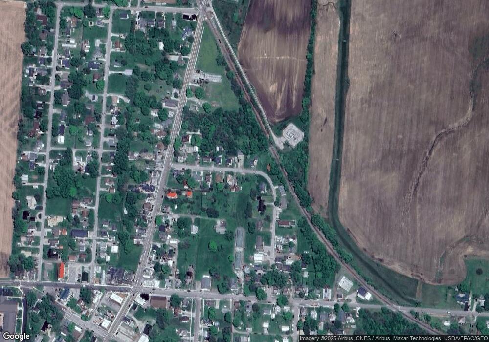
Map
Nearby Homes
- 5831 Canal Rd NE
- 10121 Ohio 188
- 11095 High Point Rd
- 0 Lake Rd NE
- 10159 Lake Rd NE
- 3520 Baltimore Somerset Rd NE
- 12126 State Route 188
- 11655 New Salem Rd NE
- 12317 State Route 188
- 7127 Pleasantville Rd NE
- 10472 Township Road 80
- 11355 Ohio 204
- 0 Baltimore Somerset Rd NE
- 8105 Long St
- 2500 Main St
- 216 1st St
- 113 Pearl St
- 0 Thornville Rd NE Unit TRACT 7
- 0 Thornville Rd NE Unit TRACT 17 225035794
- 0 Thornville Rd NE Unit TRACT 16 225035791
- 8800 High St NE
- 5907 East St NE
- 5838 Canal Rd NE
- 5913 East St
- 5824 Canal Rd NE
- 5808 Canal Rd NE
- 5852 Canal Rd NE
- 5858 Canal Rd NE
- 5919 East St
- 5866 Canal Rd NE
- 8539 New Salem Rd NE
- 8955 New Salem Rd NE
- 8941 Lanc Thornville Rd NE
- 8915 New Salem Rd NE
- 8881 Lanc Thornville Rd NE
- 8991 Lancaster Thornville Rd NE
- 8921 Lancaster Thornville Rd NE
- 8881 Lancaster Thornville Rd NE
- 5865 Canal Rd NE
- 8941 Lancaster Thornville Rd NE