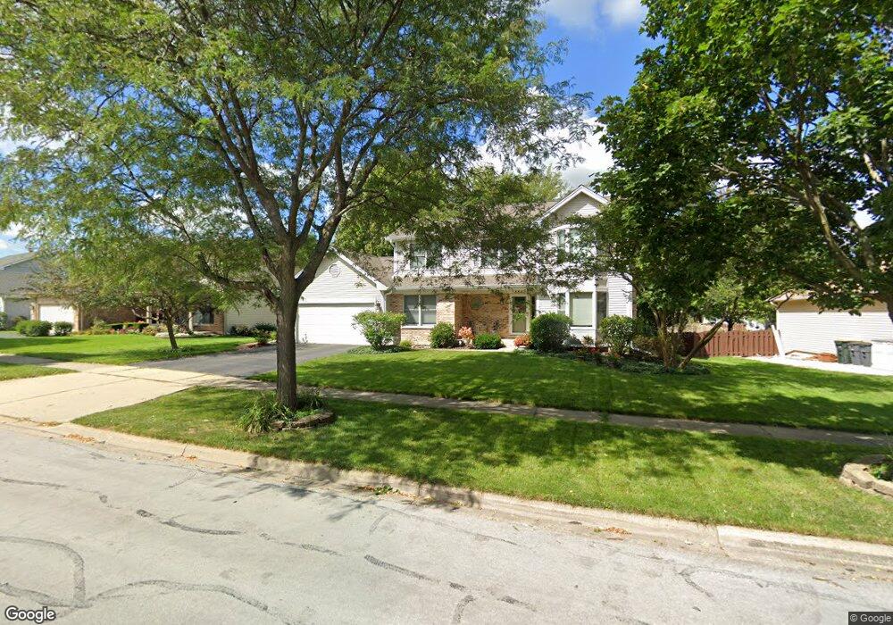
884 Hampton Dr Carol Stream, IL 60188
Estimated Value: $569,000 - $662,000
4
Beds
4
Baths
2,497
Sq Ft
$239/Sq Ft
Est. Value
About This Home
This home is located at 884 Hampton Dr, Carol Stream, IL 60188 and is currently estimated at $597,787, approximately $239 per square foot. 884 Hampton Dr is a home located in DuPage County with nearby schools including Heritage Lakes Elementary School, Jay Stream Middle School, and Glenbard North High School.
Ownership History
Date
Name
Owned For
Owner Type
Purchase Details
Closed on
May 9, 2023
Sold by
Rossi Roger A and Rossi Pamela A
Bought by
Shah Samir Sudhir
Current Estimated Value
Home Financials for this Owner
Home Financials are based on the most recent Mortgage that was taken out on this home.
Original Mortgage
$494,000
Outstanding Balance
$480,239
Interest Rate
6.38%
Mortgage Type
New Conventional
Estimated Equity
$117,548
Purchase Details
Closed on
Sep 6, 1995
Sold by
Rossi Roger A and Rossi Pamela A
Bought by
Rossi Roger A and Rossi Pamela
Create a Home Valuation Report for This Property
The Home Valuation Report is an in-depth analysis detailing your home's value as well as a comparison with similar homes in the area
Home Values in the Area
Average Home Value in this Area
Purchase History
| Date | Buyer | Sale Price | Title Company |
|---|---|---|---|
| Shah Samir Sudhir | $520,000 | None Listed On Document | |
| Rossi Roger A | -- | -- |
Source: Public Records
Mortgage History
| Date | Status | Borrower | Loan Amount |
|---|---|---|---|
| Open | Shah Samir Sudhir | $494,000 |
Source: Public Records
Tax History
| Year | Tax Paid | Tax Assessment Tax Assessment Total Assessment is a certain percentage of the fair market value that is determined by local assessors to be the total taxable value of land and additions on the property. | Land | Improvement |
|---|---|---|---|---|
| 2024 | $13,485 | $165,231 | $43,504 | $121,727 |
| 2023 | $12,685 | $149,910 | $39,470 | $110,440 |
| 2022 | $12,804 | $144,770 | $36,680 | $108,090 |
| 2021 | $12,211 | $137,430 | $34,820 | $102,610 |
| 2020 | $11,954 | $133,310 | $33,780 | $99,530 |
| 2019 | $11,520 | $128,550 | $32,570 | $95,980 |
| 2018 | $10,851 | $123,020 | $31,170 | $91,850 |
| 2017 | $10,649 | $118,120 | $29,930 | $88,190 |
| 2016 | $10,461 | $112,830 | $28,590 | $84,240 |
| 2015 | $10,393 | $106,800 | $27,060 | $79,740 |
| 2014 | $10,286 | $104,090 | $26,370 | $77,720 |
| 2013 | $10,221 | $106,580 | $27,000 | $79,580 |
Source: Public Records
Map
Nearby Homes
- 848 Birchbark Trail
- 862 Omaha Ct
- 992 Navajo St
- 1179 Edington Ct
- 545 Alton Ct Unit 273
- 514 Alton Ct Unit 2
- 813 Kansas St
- 734 Colorado Ct Unit 734
- 454 Esselen Ct Unit 2
- 1122 Bradbury Cir
- 1390 Merrimac Ln N
- 933 Columbia Ct
- 522 Apache Ln
- 1308 Coldspring Rd Unit 7
- 1215 Robin Dr
- 922 Dearborn Cir
- 27W270 Jefferson St
- 552 Cochise Place
- 1297 Woodlake Dr Unit 1
- 1304 Yorkshire Ln
- 882 Hampton Dr
- 886 Hampton Dr
- 887 Chatham Dr
- 885 Chatham Dr
- 888 Hampton Dr
- 889 Chatham Dr
- 883 Chatham Dr
- 891 Chatham Dr
- 885 Hampton Dr
- 878 Hampton Dr
- 892 Hampton Dr
- 887 Hampton Dr
- 763 Princetown Ct
- 881 Chatham Dr
- 889 Hampton Dr
- 766 Princetown Ct
- 886 Chatham Dr
- 893 Chatham Dr
- 876 Hampton Dr
- 894 Hampton Dr
Your Personal Tour Guide
Ask me questions while you tour the home.