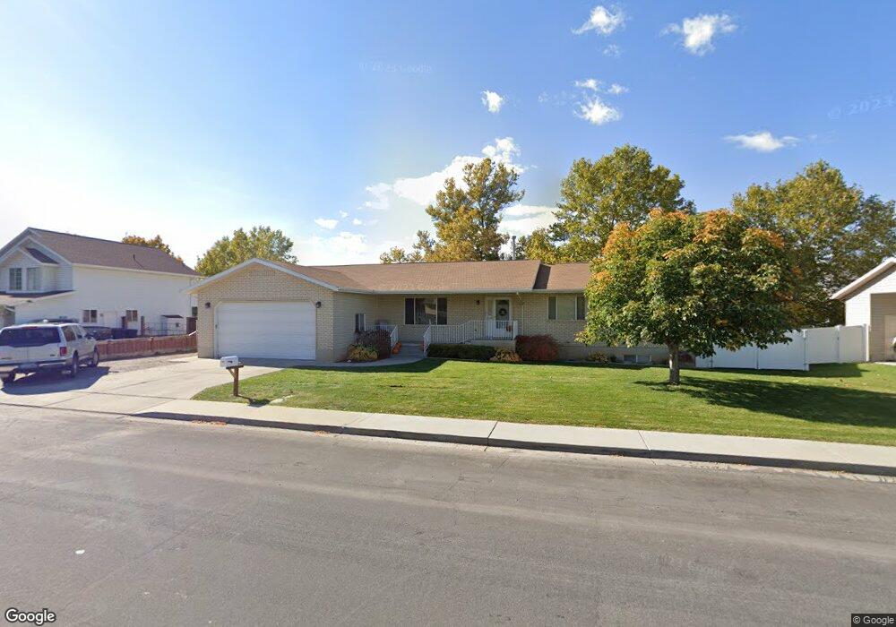
884 S 1000 W Payson, UT 84651
Estimated Value: $566,000 - $647,000
3
Beds
2
Baths
4,316
Sq Ft
$143/Sq Ft
Est. Value
About This Home
This home is located at 884 S 1000 W, Payson, UT 84651 and is currently estimated at $616,573, approximately $142 per square foot. 884 S 1000 W is a home located in Utah County with nearby schools including Wilson Elementary School, Mt. Nebo Junior High School, and Mt. Nebo Middle.
Ownership History
Date
Name
Owned For
Owner Type
Purchase Details
Closed on
Oct 15, 2015
Sold by
Stinson Kevin A and Stinson Jenilyn
Bought by
Stinson Living Trust and Stinson Jenilyn
Current Estimated Value
Purchase Details
Closed on
Apr 21, 2014
Sold by
Clark Jack
Bought by
Stinson Kevin A and Stinson Jenilyn
Create a Home Valuation Report for This Property
The Home Valuation Report is an in-depth analysis detailing your home's value as well as a comparison with similar homes in the area
Home Values in the Area
Average Home Value in this Area
Purchase History
| Date | Buyer | Sale Price | Title Company |
|---|---|---|---|
| Stinson Living Trust | -- | First American Title | |
| Stinson Kevin A | -- | First American Title | |
| Stinson Kevin A | -- | Backman Title Services Ltd |
Source: Public Records
Tax History Compared to Growth
Tax History
| Year | Tax Paid | Tax Assessment Tax Assessment Total Assessment is a certain percentage of the fair market value that is determined by local assessors to be the total taxable value of land and additions on the property. | Land | Improvement |
|---|---|---|---|---|
| 2025 | $2,955 | $302,390 | $173,900 | $375,900 |
| 2024 | $2,955 | $300,740 | $0 | $0 |
| 2023 | $3,081 | $314,380 | $0 | $0 |
| 2022 | $2,922 | $293,315 | $0 | $0 |
| 2021 | $2,467 | $397,100 | $114,100 | $283,000 |
| 2020 | $2,312 | $364,200 | $99,200 | $265,000 |
| 2019 | $2,180 | $352,000 | $99,200 | $252,800 |
| 2018 | $2,100 | $326,800 | $77,000 | $249,800 |
| 2017 | $1,896 | $158,730 | $0 | $0 |
| 2016 | $1,846 | $153,505 | $0 | $0 |
| 2015 | $1,628 | $134,475 | $0 | $0 |
| 2014 | $1,454 | $120,945 | $0 | $0 |
Source: Public Records
Map
Nearby Homes
- 1128 W 1150 S Unit 9
- 1192 W 1130 St S Unit 202
- 1172 S 880 W
- 1216 S 1150 W Unit 19
- 1287 S 1080 W
- 1087 S 680 W
- 1163 S 730 W
- 527 S 1000 W
- 528 S 800 W
- 550 700 W
- 1338 S 1150 W
- 533 S 700 W
- 1161 Utah 198
- 1546 W 800 S
- 513 W 600 S
- 1002 W Temple Rim Ln
- 802 Brookside Ct
- 1045 S 1700 W Unit 1533
- 1045 S 1700 W Unit 710
- 1045 S 1700 W Unit 311