8849 Bird In Hand Ln Wittman, MD 21676
Estimated Value: $1,270,000 - $2,285,000
--
Bed
2
Baths
2,692
Sq Ft
$678/Sq Ft
Est. Value
About This Home
This home is located at 8849 Bird In Hand Ln, Wittman, MD 21676 and is currently estimated at $1,823,874, approximately $677 per square foot. 8849 Bird In Hand Ln is a home located in Talbot County with nearby schools including Tilghman Elementary School, St. Michaels Middle/High School, and Easton High School.
Ownership History
Date
Name
Owned For
Owner Type
Purchase Details
Closed on
May 3, 2002
Sold by
Adams Robert L
Bought by
Slaten Richard K and Latimer Katharine Ruth
Current Estimated Value
Purchase Details
Closed on
Jun 22, 1999
Sold by
Strange Cynthia C
Bought by
Adams Robert L and Kennedy Phyllis A
Purchase Details
Closed on
Dec 30, 1992
Sold by
Whittlsey Betty J
Bought by
Strange Cynthia C
Home Financials for this Owner
Home Financials are based on the most recent Mortgage that was taken out on this home.
Original Mortgage
$388,000
Interest Rate
8.13%
Create a Home Valuation Report for This Property
The Home Valuation Report is an in-depth analysis detailing your home's value as well as a comparison with similar homes in the area
Home Values in the Area
Average Home Value in this Area
Purchase History
| Date | Buyer | Sale Price | Title Company |
|---|---|---|---|
| Slaten Richard K | $995,000 | -- | |
| Adams Robert L | $510,000 | -- | |
| Strange Cynthia C | $485,000 | -- |
Source: Public Records
Mortgage History
| Date | Status | Borrower | Loan Amount |
|---|---|---|---|
| Previous Owner | Strange Cynthia C | $388,000 |
Source: Public Records
Tax History Compared to Growth
Tax History
| Year | Tax Paid | Tax Assessment Tax Assessment Total Assessment is a certain percentage of the fair market value that is determined by local assessors to be the total taxable value of land and additions on the property. | Land | Improvement |
|---|---|---|---|---|
| 2025 | $8,850 | $1,012,000 | $615,800 | $396,200 |
| 2024 | $8,850 | $982,033 | $0 | $0 |
| 2023 | $8,133 | $952,067 | $0 | $0 |
| 2022 | $7,319 | $922,100 | $615,800 | $306,300 |
| 2021 | $6,998 | $910,533 | $0 | $0 |
| 2020 | $6,738 | $898,967 | $0 | $0 |
| 2019 | $6,652 | $887,400 | $615,800 | $271,600 |
| 2018 | $6,432 | $887,400 | $615,800 | $271,600 |
| 2017 | $6,119 | $887,400 | $0 | $0 |
| 2016 | $6,355 | $979,600 | $0 | $0 |
| 2015 | $5,965 | $979,600 | $0 | $0 |
| 2014 | $5,965 | $979,600 | $0 | $0 |
Source: Public Records
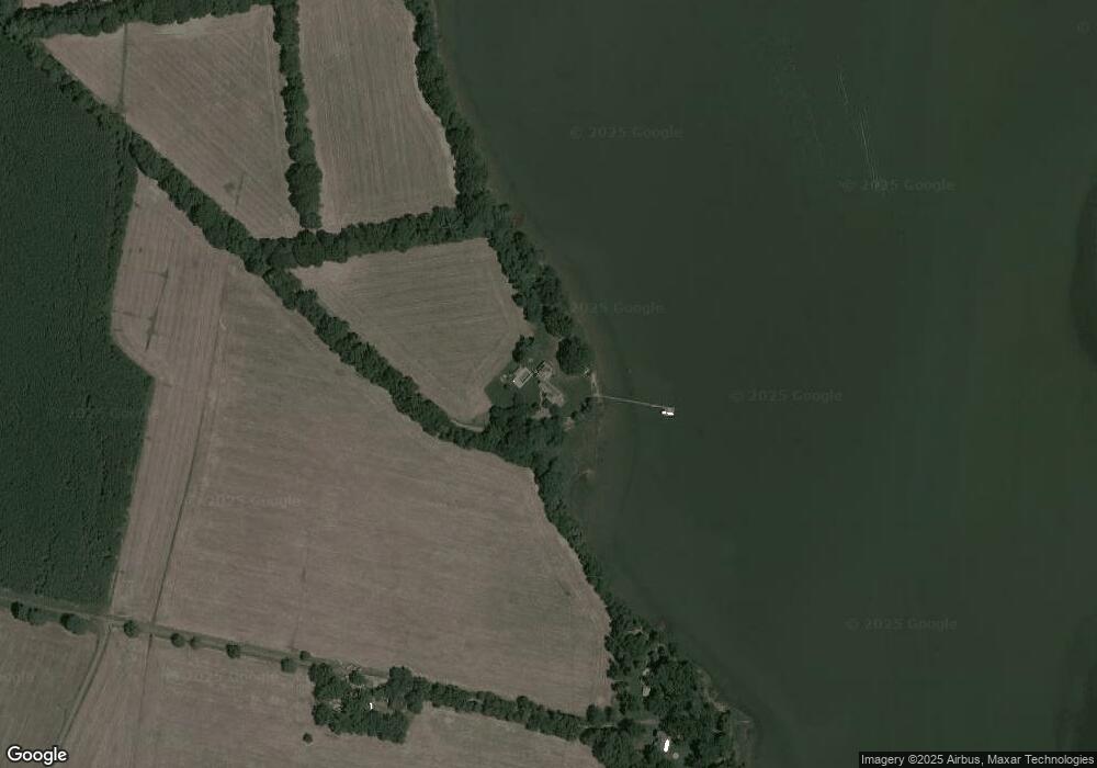
Map
Nearby Homes
- 8620 Bozman Neavitt Rd
- 9262 Macks Ln
- 8805 Cummings Rd
- 0 Bozman Neavitt Rd Unit MDTA2011976
- 22571 Crescendo Cir
- 8034 Bozman Neavitt Rd
- 7983 Bozman Neavitt Rd
- 22381 Cooper Ln
- 22314 Pot Pie Rd
- 22349 Cooper Ln
- 23869 Mount Misery Rd
- 9681 Macks Ln
- 8781 Tilghman Island Rd
- 00 New Rd
- 23961 Lynnewood Dr
- 23857 Ebb Point Rd
- 216 Brooks Ln
- 300 Perry St
- 24362 Widgeon Place Unit 4
- 209 Webb Ln
- 8915 Bird In Hand Ln
- 8716 Bozman Neavitt Rd
- 23025 Pot Pie Rd
- 8694 Bozman Neavitt Rd
- 8718 Bozman Neavitt Rd
- 8670 Bozman Neavitt Rd
- 8780 Bozman Neavitt Rd
- 8625 Sewell Point Rd
- 8612 Bozman Neavitt Rd
- 22861 Pot Pie Rd
- 22955 Pot Pie Rd
- 22860 Pot Pie Rd
- 8603 Sewell Point Rd
- 8602 Bozman Neavitt Rd
- 22851 Pot Pie Rd
- 22850 Pot Pie Rd
- 8613 Sewell Point Rd
- 8741 Sewell Point Rd
- 8733 Sewell Point Rd
- 8727 Sewell Point Rd