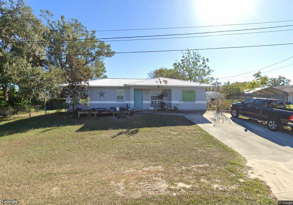
885 Austin Cir Bartow, FL 33830
Estimated Value: $244,000 - $269,000
3
Beds
2
Baths
1,327
Sq Ft
$191/Sq Ft
Est. Value
About This Home
This home is located at 885 Austin Cir, Bartow, FL 33830 and is currently estimated at $253,723, approximately $191 per square foot. 885 Austin Cir is a home located in Polk County with nearby schools including Eagle Lake Elementary School, Bartow Elementary Academy, and Union Academy.
Ownership History
Date
Name
Owned For
Owner Type
Purchase Details
Closed on
Jan 10, 2003
Sold by
Foreman Margaret and Fletcher Margaret
Bought by
Foreman David and Foreman Margaret
Current Estimated Value
Home Financials for this Owner
Home Financials are based on the most recent Mortgage that was taken out on this home.
Original Mortgage
$61,200
Outstanding Balance
$26,885
Interest Rate
6.95%
Estimated Equity
$226,838
Purchase Details
Closed on
Jul 12, 1995
Sold by
Farrer E W and Farrer Willie B
Bought by
Fletcher Margaret
Home Financials for this Owner
Home Financials are based on the most recent Mortgage that was taken out on this home.
Original Mortgage
$25,850
Interest Rate
7.64%
Create a Home Valuation Report for This Property
The Home Valuation Report is an in-depth analysis detailing your home's value as well as a comparison with similar homes in the area
Home Values in the Area
Average Home Value in this Area
Purchase History
| Date | Buyer | Sale Price | Title Company |
|---|---|---|---|
| Foreman David | $30,600 | Fidelity National Title Ins | |
| Fletcher Margaret | $51,500 | -- |
Source: Public Records
Mortgage History
| Date | Status | Borrower | Loan Amount |
|---|---|---|---|
| Open | Foreman David | $61,200 | |
| Closed | Fletcher Margaret | $25,850 |
Source: Public Records
Tax History
| Year | Tax Paid | Tax Assessment Tax Assessment Total Assessment is a certain percentage of the fair market value that is determined by local assessors to be the total taxable value of land and additions on the property. | Land | Improvement |
|---|---|---|---|---|
| 2025 | $634 | $75,669 | -- | -- |
| 2024 | $933 | $73,536 | -- | -- |
| 2023 | $933 | $71,394 | $0 | $0 |
| 2022 | $897 | $69,315 | $0 | $0 |
| 2021 | $909 | $67,296 | $0 | $0 |
| 2020 | $886 | $66,367 | $0 | $0 |
| 2018 | $840 | $63,665 | $0 | $0 |
| 2017 | $833 | $62,356 | $0 | $0 |
| 2016 | $794 | $61,073 | $0 | $0 |
Source: Public Records
Map
Nearby Homes
- 1163 Citrus Grove Dr
- 1159 Citrus Grove Dr
- 4385 Dietz Rd
- 1414 Peel Place
- 1120 Citrus Grove Dr
- 1033 Bergamot Dr
- 610 Grove Dr
- 401 Gandy Cemetery Rd
- 4020 Connersville Rd
- 3661 Wellington Ln
- 3655 Wellington Ln
- 2914 Dudley Dr
- 2865 Barton Place
- 0 State Road 60 Unit MFRP4934746
- 5005 Florida 60
- 0 Moose Club Rd
- 137 S Hankin Rd
- 1884 Thompson Preserve Blvd
- 3552 Elliott Rd
- 300 S Hankin Rd
Your Personal Tour Guide
Ask me questions while you tour the home.