885 Mull Dr Mineral Bluff, GA 30559
Estimated Value: $295,000 - $463,720
2
Beds
2
Baths
940
Sq Ft
$389/Sq Ft
Est. Value
About This Home
This home is located at 885 Mull Dr, Mineral Bluff, GA 30559 and is currently estimated at $365,680, approximately $389 per square foot. 885 Mull Dr is a home located in Fannin County with nearby schools including Fannin County High School.
Ownership History
Date
Name
Owned For
Owner Type
Purchase Details
Closed on
Jun 20, 2009
Sold by
Fraker Renee H and Fraker Robert C
Bought by
Fraker Renee H Trustee
Current Estimated Value
Purchase Details
Closed on
Mar 17, 2009
Sold by
Fraker Renee H
Bought by
Renee H Fraker Revocable Living Trust
Purchase Details
Closed on
Jan 31, 2006
Sold by
Mcgough Barry
Bought by
Fraker Rennee and Fraker Robert
Purchase Details
Closed on
Dec 15, 1997
Sold by
Skaggs Tommy H and Skaggs Ter
Bought by
Mcgough Barry B
Create a Home Valuation Report for This Property
The Home Valuation Report is an in-depth analysis detailing your home's value as well as a comparison with similar homes in the area
Home Values in the Area
Average Home Value in this Area
Purchase History
| Date | Buyer | Sale Price | Title Company |
|---|---|---|---|
| Fraker Renee H Trustee | -- | -- | |
| Renee H Fraker Revocable Living Trust | -- | -- | |
| Fraker Rennee | $164,841 | -- | |
| Mcgough Barry B | $94,300 | -- |
Source: Public Records
Tax History Compared to Growth
Tax History
| Year | Tax Paid | Tax Assessment Tax Assessment Total Assessment is a certain percentage of the fair market value that is determined by local assessors to be the total taxable value of land and additions on the property. | Land | Improvement |
|---|---|---|---|---|
| 2024 | $1,002 | $109,283 | $3,833 | $105,450 |
| 2023 | $904 | $88,644 | $3,833 | $84,811 |
| 2022 | $915 | $89,779 | $3,833 | $85,946 |
| 2021 | $615 | $43,844 | $3,094 | $40,750 |
| 2020 | $625 | $43,844 | $3,094 | $40,750 |
| 2019 | $599 | $41,192 | $3,094 | $38,098 |
| 2018 | $630 | $40,910 | $2,812 | $38,098 |
| 2017 | $732 | $41,373 | $2,812 | $38,561 |
| 2016 | $622 | $36,636 | $2,812 | $33,824 |
| 2015 | $658 | $37,059 | $2,812 | $34,247 |
| 2014 | $776 | $44,723 | $5,480 | $39,242 |
| 2013 | -- | $30,226 | $5,480 | $24,745 |
Source: Public Records
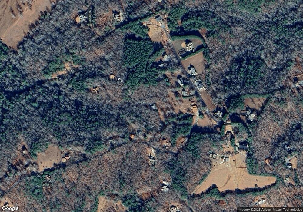
Map
Nearby Homes
- 0 N View Dr Unit 409647
- 0 N View Dr Unit 327586
- 0 N View Dr Unit 327583
- Lot 2 N View Dr
- Lot 1 N View Dr
- 144 Humphrey Heights Rd
- 307 Big Timber Rd
- 275 Autumn Ridge Dr
- 196 Autumn Ridge Dr
- 381 Ross Dr
- 195 Angel Creek Hollow
- 35 Homestead Dr
- 261 Rooks Rd
- 1359 Salem Rd
- 3890 Mineral Bluff Hwy
- 2371 Humphrey Mill Rd
- 151 Hickory Hills St
- 1083 Synacia Dr
- 117 Stuart Ridge Rd
- 763 Mull Dr
- 235 Twin Peaks Dr
- 129 Twin Peaks Dr
- 205 Twin Peaks Dr
- 5 Twin Peaks Dr
- 715 Mull Dr
- 0 Twin Peaks Dr Unit 304310
- 0 Twin Peaks Dr Unit 10250217
- 0 Twin Peaks Dr Unit 7334565
- 0 Twin Peaks Dr Unit 7533311
- 0 Twin Peaks Dr Unit 8267018
- 0 Twin Peaks Dr Unit 9036747
- 267 Twin Peaks Dr
- 267 Twin Peaks Dr Unit 7,8
- 955 Mull Dr
- 14 Sassafras Dr
- 186 Twin Peaks Dr
- 959 Mull Dr
- 255 Sassafrass Rd
- 244 Twin Peaks Dr