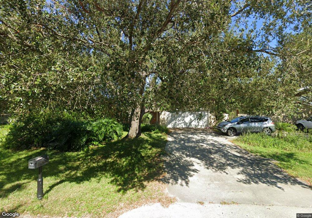
885 Roseland Rd Unit 3 Sebastian, FL 32958
Sebastian Highlands NeighborhoodEstimated Value: $319,000 - $381,000
2
Beds
2
Baths
1,466
Sq Ft
$240/Sq Ft
Est. Value
About This Home
This home is located at 885 Roseland Rd Unit 3, Sebastian, FL 32958 and is currently estimated at $352,094, approximately $240 per square foot. 885 Roseland Rd Unit 3 is a home located in Indian River County with nearby schools including Sebastian Elementary School, Sebastian River Middle School, and Sebastian River High School.
Ownership History
Date
Name
Owned For
Owner Type
Purchase Details
Closed on
Dec 23, 2010
Sold by
Oliver Marybeth Powell and Oliver Howard W
Bought by
Oliver Howard W and Oliver Marybeth Powell
Current Estimated Value
Home Financials for this Owner
Home Financials are based on the most recent Mortgage that was taken out on this home.
Original Mortgage
$97,750
Outstanding Balance
$2,126
Interest Rate
3.8%
Mortgage Type
New Conventional
Estimated Equity
$349,968
Purchase Details
Closed on
Jan 12, 1999
Sold by
Powell Lonnie R
Bought by
Powell Mary Beth
Create a Home Valuation Report for This Property
The Home Valuation Report is an in-depth analysis detailing your home's value as well as a comparison with similar homes in the area
Home Values in the Area
Average Home Value in this Area
Purchase History
| Date | Buyer | Sale Price | Title Company |
|---|---|---|---|
| Oliver Howard W | $51,000 | Professional Title | |
| Powell Mary Beth | -- | -- |
Source: Public Records
Mortgage History
| Date | Status | Borrower | Loan Amount |
|---|---|---|---|
| Open | Oliver Howard W | $97,750 |
Source: Public Records
Tax History Compared to Growth
Tax History
| Year | Tax Paid | Tax Assessment Tax Assessment Total Assessment is a certain percentage of the fair market value that is determined by local assessors to be the total taxable value of land and additions on the property. | Land | Improvement |
|---|---|---|---|---|
| 2024 | $1,247 | $107,618 | -- | -- |
| 2023 | $1,247 | $101,539 | $0 | $0 |
| 2022 | $1,188 | $98,581 | $0 | $0 |
| 2021 | $1,165 | $95,710 | $0 | $0 |
| 2020 | $1,153 | $94,388 | $0 | $0 |
| 2019 | $1,127 | $92,266 | $0 | $0 |
| 2018 | $1,120 | $90,546 | $0 | $0 |
| 2017 | $1,046 | $88,684 | $0 | $0 |
| 2016 | $1,037 | $86,860 | $0 | $0 |
| 2015 | $1,067 | $86,260 | $0 | $0 |
| 2014 | $1,025 | $85,580 | $0 | $0 |
Source: Public Records
Map
Nearby Homes
- 802 Lorca Ave
- 881 Jamaica Ave
- 886 Bermuda Ave
- 918 Bermuda Ave
- 898 Riviera Ave
- 821 Barber St
- 826 Riviera Ave
- 854 Dale Cir
- 972 Seneca Ave
- 830 Cain St
- 992 Seneca Ave
- 1026 Blossom Dr
- 825 Landsdowne Dr
- 726 Beard Ave
- 710 Mulberry St
- 734 Doctor Ave
- 1074 Phelps St
- 11136 Mulberry St
- 915 Rose Arbor Dr
- 0 Unassigned (Beard Ave)