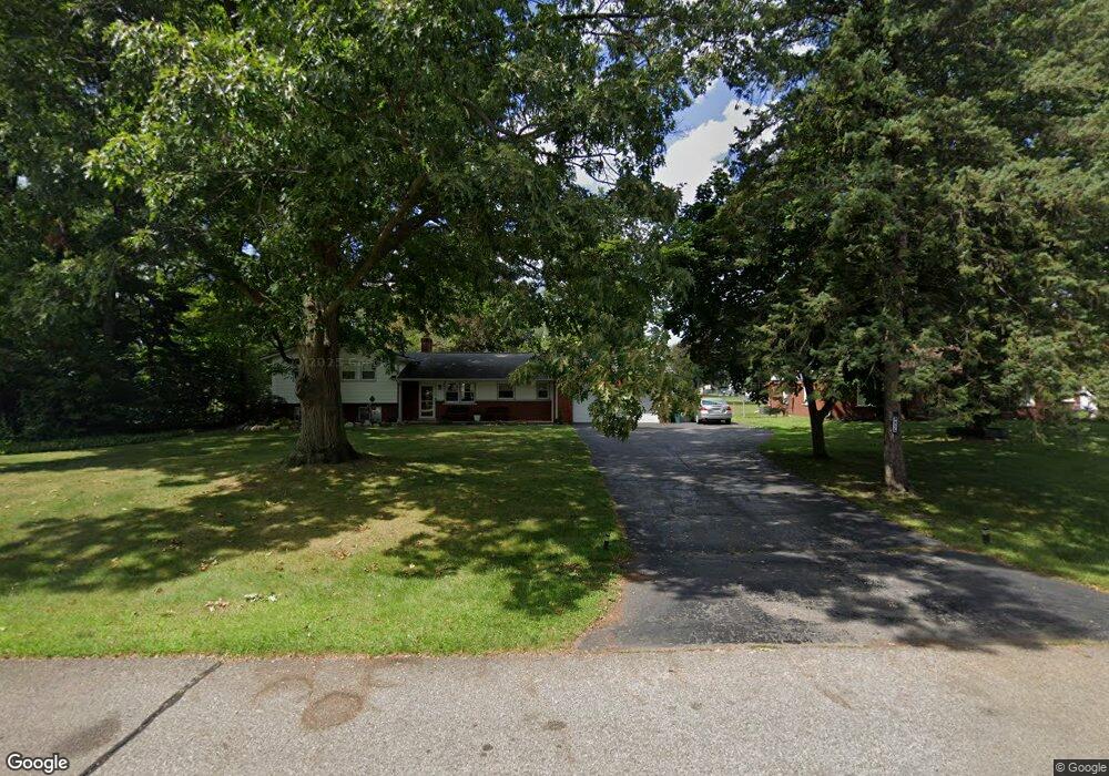
8855 Rocker Ave Plymouth, MI 48170
Estimated Value: $432,107 - $619,000
--
Bed
3
Baths
2,184
Sq Ft
$231/Sq Ft
Est. Value
About This Home
This home is located at 8855 Rocker Ave, Plymouth, MI 48170 and is currently estimated at $504,277, approximately $230 per square foot. 8855 Rocker Ave is a home located in Wayne County with nearby schools including Canton High School, Smith Elementary School, and East Middle School.
Ownership History
Date
Name
Owned For
Owner Type
Purchase Details
Closed on
Dec 3, 2018
Sold by
Gucken Lindsey V and Jones Lindsey V
Bought by
Gucken Lindsey V and Gucken Sean
Current Estimated Value
Purchase Details
Closed on
Mar 19, 2018
Sold by
Leblanc Michael B and Leblanc Joy K
Bought by
Jones Lindsey V
Home Financials for this Owner
Home Financials are based on the most recent Mortgage that was taken out on this home.
Original Mortgage
$242,250
Outstanding Balance
$207,589
Interest Rate
4.38%
Mortgage Type
New Conventional
Estimated Equity
$296,688
Create a Home Valuation Report for This Property
The Home Valuation Report is an in-depth analysis detailing your home's value as well as a comparison with similar homes in the area
Home Values in the Area
Average Home Value in this Area
Purchase History
| Date | Buyer | Sale Price | Title Company |
|---|---|---|---|
| Gucken Lindsey V | -- | None Available | |
| Jones Lindsey V | $285,000 | None Available |
Source: Public Records
Mortgage History
| Date | Status | Borrower | Loan Amount |
|---|---|---|---|
| Open | Jones Lindsey V | $242,250 |
Source: Public Records
Tax History Compared to Growth
Tax History
| Year | Tax Paid | Tax Assessment Tax Assessment Total Assessment is a certain percentage of the fair market value that is determined by local assessors to be the total taxable value of land and additions on the property. | Land | Improvement |
|---|---|---|---|---|
| 2025 | $3,950 | $203,400 | $0 | $0 |
| 2024 | $3,950 | $198,900 | $0 | $0 |
| 2023 | $3,764 | $167,000 | $0 | $0 |
| 2022 | $5,005 | $155,500 | $0 | $0 |
| 2021 | $4,870 | $151,700 | $0 | $0 |
| 2019 | $4,716 | $142,660 | $0 | $0 |
| 2018 | $2,652 | $128,270 | $0 | $0 |
| 2017 | $1,853 | $33,100 | $0 | $0 |
| 2016 | $3,474 | $122,800 | $0 | $0 |
| 2015 | $11,103 | $113,730 | $0 | $0 |
| 2013 | $10,757 | $112,130 | $0 | $0 |
| 2012 | -- | $108,690 | $26,190 | $82,500 |
Source: Public Records
Map
Nearby Homes
- 9205 Rocker Ave
- 9101 Ball St
- 8830 Northern Ave
- 8834 Northern Ave
- 8845 Oakview St
- 9191 Redbud Ave
- 9405 Northern Ave
- 8451 Mannington Rd
- 8880 Elmhurst Ave
- 8530 Elmhurst St
- 8870 Brookline Ave
- 9230 Brookline Ave
- 8876 N Sheldon Rd
- 9264 Brookline Ave
- 9060 N Sheldon Rd
- 1338 S Harvey St
- 685 Ross St
- 42990 Arlington Rd
- 9453 Brookline Ave
- 1078 Simpson St
- 8880 S Main St
- 8885 Rocker Ave
- 8850 S Main St
- 8887 Rocker Ave
- 43264 Joy Rd
- 8831 Rocker Ave
- 8824 S Main St
- 43220 Joy Rd
- 8899 Rocker Ave
- 8820 S Main St
- 8888 S Main St
- 9009 Rocker Ave
- 8814 S Main St
- 8811 Rocker Ave
- 8870 Rocker Ave
- 8830 Rocker Ave
- 8888 Rocker Ave
- 8818 Rocker Ave
- 9014 S Main St
- 9029 Rocker Ave