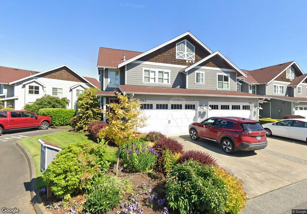
8856 Depot Rd Unit 1 Lynden, WA 98264
Estimated Value: $543,524 - $612,000
3
Beds
3
Baths
2,064
Sq Ft
$283/Sq Ft
Est. Value
About This Home
This home is located at 8856 Depot Rd Unit 1, Lynden, WA 98264 and is currently estimated at $584,131, approximately $283 per square foot. 8856 Depot Rd Unit 1 is a home located in Whatcom County with nearby schools including Lynden High School, Lynden Christian School, and Lynden Christian Schools: Administration.
Ownership History
Date
Name
Owned For
Owner Type
Purchase Details
Closed on
Jul 21, 2016
Sold by
Mayhew Brian and Mayhew Penny L
Bought by
Button Lynn Edward and Button Kerry Robin
Current Estimated Value
Home Financials for this Owner
Home Financials are based on the most recent Mortgage that was taken out on this home.
Original Mortgage
$311,600
Outstanding Balance
$248,430
Interest Rate
3.54%
Mortgage Type
New Conventional
Estimated Equity
$335,701
Purchase Details
Closed on
Jan 15, 2008
Sold by
Homestead Northwest Inc
Bought by
Mayhew Brian and Mayhew Penny L
Create a Home Valuation Report for This Property
The Home Valuation Report is an in-depth analysis detailing your home's value as well as a comparison with similar homes in the area
Home Values in the Area
Average Home Value in this Area
Purchase History
| Date | Buyer | Sale Price | Title Company |
|---|---|---|---|
| Button Lynn Edward | $328,000 | First American Title | |
| Mayhew Brian | $401,242 | Whatcom Land Title |
Source: Public Records
Mortgage History
| Date | Status | Borrower | Loan Amount |
|---|---|---|---|
| Open | Button Lynn Edward | $311,600 |
Source: Public Records
Tax History Compared to Growth
Tax History
| Year | Tax Paid | Tax Assessment Tax Assessment Total Assessment is a certain percentage of the fair market value that is determined by local assessors to be the total taxable value of land and additions on the property. | Land | Improvement |
|---|---|---|---|---|
| 2024 | $3,832 | $533,440 | $100,000 | $433,440 |
| 2023 | $3,832 | $533,440 | $100,000 | $433,440 |
| 2022 | $4,237 | $519,720 | $138,592 | $381,128 |
| 2021 | $4,231 | $459,930 | $122,648 | $337,282 |
| 2020 | $3,830 | $418,110 | $111,496 | $306,614 |
| 2019 | $3,397 | $396,300 | $105,680 | $290,620 |
| 2018 | $3,561 | $360,300 | $96,080 | $264,220 |
| 2017 | $3,380 | $310,200 | $82,720 | $227,480 |
| 2016 | $3,282 | $313,170 | $83,772 | $229,398 |
| 2015 | $2,796 | $302,417 | $80,496 | $221,921 |
| 2014 | -- | $280,903 | $74,802 | $206,101 |
| 2013 | -- | $277,817 | $74,100 | $203,717 |
Source: Public Records
Map
Nearby Homes
- 8844 Depot Rd Unit B204
- 8872 Depot Rd Unit 203
- 325 Island Green Way
- 300 Homestead Blvd Unit 104
- 0 Island Green Way
- 8780 Depot Rd Unit 207
- 8780 Depot Rd Unit 308
- 8780 Depot Rd Unit 309
- 424 Island Green Way
- 114 Twin Sister Loop
- 2111 Greenview Ln
- 600 Sunrise Dr
- 761 Sunrise Dr
- 1877 Emerald Way
- 107 Springview Dr
- 1739 Emerald Way
- 872 Sunrise Dr
- 885 Sunrise Dr
- 137 E Cedar Dr
- 9586 Bender Rd
- 8856 Depot Rd Unit 2
- 8856 Depot Rd Unit B
- 8854 Depot Rd Unit 1
- 8854 Depot Rd Unit 2
- 8854 Depot Rd Unit B
- 8858 Depot Rd Unit A
- 8858 Depot Rd Unit B
- 8852 Depot Rd Unit A
- 8852 Depot Rd Unit B
- 8844 Depot Rd Unit B101
- 8844 Depot Rd Unit B211
- 8844 Depot Rd Unit 202
- 8844 Depot Rd Unit 201
- 8844 Depot Rd Unit 111
- 8844 Depot Rd
- 8844 Depot Rd Unit B306
- 8844 Depot Rd Unit B102
- 8844 Depot Rd Unit 303
- 8844 Depot Rd Unit 212
- 8844 Depot Rd Unit B309