8856 NE Point no Point Rd Hansville, WA 98340
Hansville NeighborhoodEstimated Value: $456,575 - $604,000
2
Beds
2
Baths
836
Sq Ft
$616/Sq Ft
Est. Value
About This Home
This home is located at 8856 NE Point no Point Rd, Hansville, WA 98340 and is currently estimated at $515,394, approximately $616 per square foot. 8856 NE Point no Point Rd is a home located in Kitsap County with nearby schools including Richard Gordon Elementary School, Kingston Middle School, and Kingston High School.
Ownership History
Date
Name
Owned For
Owner Type
Purchase Details
Closed on
Aug 25, 2009
Sold by
Johnson Casey
Bought by
Rowland Mary
Current Estimated Value
Purchase Details
Closed on
Jul 9, 2009
Sold by
Rawson Joan D
Bought by
Johnson Casey
Purchase Details
Closed on
Jun 13, 2005
Sold by
Rawson Joan D
Bought by
Mcleod Ralph Whitman
Purchase Details
Closed on
Feb 16, 2000
Sold by
Solaas Hugh O and Solaas Dorothy E
Bought by
Rawson Joan D
Home Financials for this Owner
Home Financials are based on the most recent Mortgage that was taken out on this home.
Original Mortgage
$97,351
Interest Rate
8.14%
Mortgage Type
FHA
Purchase Details
Closed on
Sep 17, 1999
Sold by
Mcleod Donald R
Bought by
Solaas Hugh O and Solaas Dorothy E
Create a Home Valuation Report for This Property
The Home Valuation Report is an in-depth analysis detailing your home's value as well as a comparison with similar homes in the area
Home Values in the Area
Average Home Value in this Area
Purchase History
| Date | Buyer | Sale Price | Title Company |
|---|---|---|---|
| Rowland Mary | $145,280 | Lawyers Title Ins Corp | |
| Johnson Casey | $92,592 | None Available | |
| Mcleod Ralph Whitman | -- | None Available | |
| Rawson Joan D | $97,500 | Land Title Company | |
| Solaas Hugh O | $20,000 | Land Title Company |
Source: Public Records
Mortgage History
| Date | Status | Borrower | Loan Amount |
|---|---|---|---|
| Previous Owner | Rawson Joan D | $97,351 |
Source: Public Records
Tax History Compared to Growth
Tax History
| Year | Tax Paid | Tax Assessment Tax Assessment Total Assessment is a certain percentage of the fair market value that is determined by local assessors to be the total taxable value of land and additions on the property. | Land | Improvement |
|---|---|---|---|---|
| 2026 | $3,313 | $398,350 | $96,450 | $301,900 |
| 2025 | $3,313 | $366,280 | $79,520 | $286,760 |
| 2024 | $3,206 | $366,280 | $79,520 | $286,760 |
| 2023 | $3,256 | $366,280 | $79,520 | $286,760 |
| 2022 | $2,636 | $279,630 | $66,370 | $213,260 |
| 2021 | $2,601 | $252,570 | $59,790 | $192,780 |
| 2020 | $2,627 | $252,570 | $59,790 | $192,780 |
| 2019 | $2,101 | $200,180 | $50,460 | $149,720 |
| 2018 | $1,944 | $174,590 | $43,790 | $130,800 |
| 2017 | $2,035 | $174,590 | $43,790 | $130,800 |
| 2016 | $1,914 | $150,290 | $41,700 | $108,590 |
| 2015 | $1,809 | $142,880 | $41,700 | $101,180 |
| 2014 | -- | $113,720 | $34,750 | $78,970 |
| 2013 | -- | $116,960 | $54,370 | $62,590 |
Source: Public Records
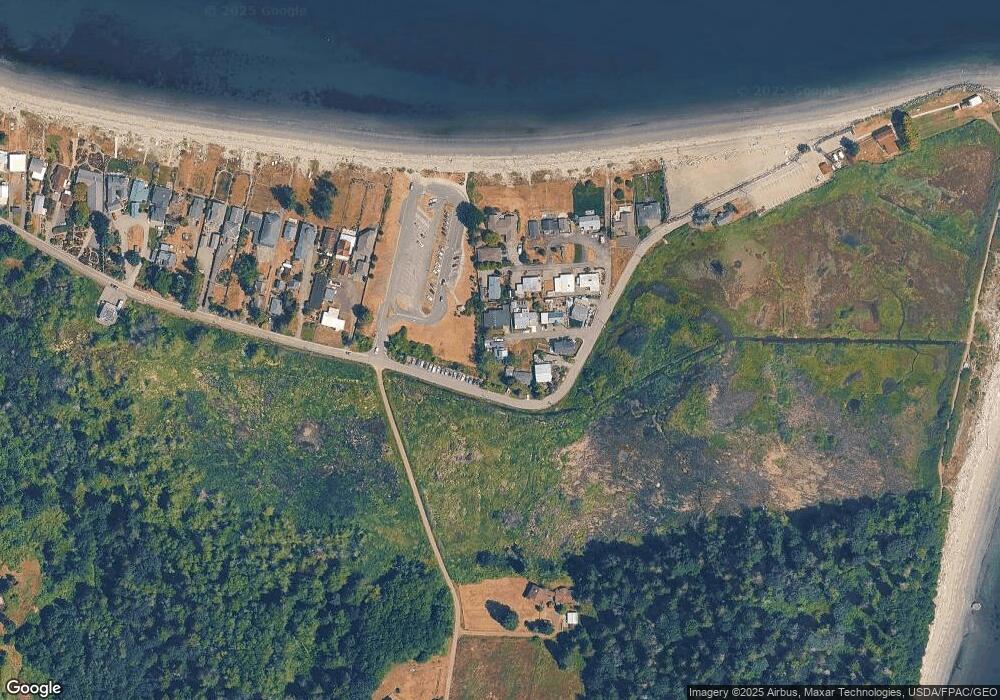
Map
Nearby Homes
- 8668 Point no Point Rd NE
- 37218 Loki Bluff Dr NE
- 0 Twin Spits Rd Unit NWM2301039
- 6565 NE Twin Spits Rd
- 6091 NE Twin Spits Rd
- 37099 Cypress Dr NE
- 38052 Vista Key Dr NE
- 37918 Vista Key Dr NE
- 38332 Vista Key Dr NE
- 38291 Doe Rd NE
- 37410 Olympic View Rd NE
- 37692 Buck Rd NE
- 38238 Buck Rd NE
- 37551 Buck Rd NE
- 36671 Tamarack Dr NE
- 39221 Prospect St NE
- 5688 NE Twin Spits Rd
- 4876 NE Hemlock Ln
- 34031 Bonnieview Ln NE
- 39195 Blackmouth Place NE
- 8856 Point no Point Rd NE
- 8800 NE Point no Point Rd
- 8884 Point no Point Rd NE
- 8880 Point no Point Rd NE
- 8824 Point no Point Rd NE
- 8828 NE Point no Point Rd
- 8892 Point no Point Rd NE
- 8874 Point no Point Rd NE
- 8896 Point no Point Rd NE
- 8902 NE Point no Point Rd
- 8882 Point no Point Rd NE
- 8888 Point no Point Rd NE
- 8918 Point no Point Rd NE
- 38099 Hillview Ln NE
- 8932 Point no Point Rd NE
- 8886 Point no Point Rd NE
- 8926 Point no Point Rd NE
- 8894 Point no Point Rd NE
- 8712 NE Point no Point Rd
- 8656 NE Point no Point Rd