8858 W Barton Rd Pocatello, ID 83204
South Pocatello NeighborhoodEstimated Value: $426,000 - $590,000
3
Beds
2
Baths
2,471
Sq Ft
$214/Sq Ft
Est. Value
About This Home
This home is located at 8858 W Barton Rd, Pocatello, ID 83204 and is currently estimated at $528,477, approximately $213 per square foot. 8858 W Barton Rd is a home located in Bannock County with nearby schools including Washington Elementary School, Franklin Middle School, and Century High School.
Ownership History
Date
Name
Owned For
Owner Type
Purchase Details
Closed on
Sep 23, 2009
Sold by
Ramsden Timothy J and Ramsden Judy G
Bought by
Fisher Ethan and Fisher Courtney M
Current Estimated Value
Home Financials for this Owner
Home Financials are based on the most recent Mortgage that was taken out on this home.
Original Mortgage
$239,200
Interest Rate
5.08%
Mortgage Type
New Conventional
Purchase Details
Closed on
Oct 18, 2007
Sold by
Stinson C Michael and Piccolo Stinson Lori K
Bought by
Ramsden Timothy J and Ramsden Judith G
Create a Home Valuation Report for This Property
The Home Valuation Report is an in-depth analysis detailing your home's value as well as a comparison with similar homes in the area
Home Values in the Area
Average Home Value in this Area
Purchase History
| Date | Buyer | Sale Price | Title Company |
|---|---|---|---|
| Fisher Ethan | -- | First American Title Co | |
| Fisher Ethan | -- | First American Title Co | |
| Ramsden Timothy J | -- | -- |
Source: Public Records
Mortgage History
| Date | Status | Borrower | Loan Amount |
|---|---|---|---|
| Closed | Fisher Ethan | $239,200 |
Source: Public Records
Tax History Compared to Growth
Tax History
| Year | Tax Paid | Tax Assessment Tax Assessment Total Assessment is a certain percentage of the fair market value that is determined by local assessors to be the total taxable value of land and additions on the property. | Land | Improvement |
|---|---|---|---|---|
| 2024 | $1,837 | $407,360 | $166,082 | $241,278 |
| 2023 | $2,173 | $416,889 | $151,233 | $265,656 |
| 2022 | $2,173 | $370,183 | $83,888 | $286,295 |
| 2021 | $2,412 | $284,386 | $83,888 | $200,498 |
| 2020 | $2,588 | $350,662 | $87,384 | $263,278 |
| 2019 | $2,836 | $327,989 | $55,440 | $272,549 |
| 2018 | $2,072 | $276,364 | $63,435 | $212,929 |
| 2017 | $2,065 | $276,364 | $63,435 | $212,929 |
| 2016 | $2,129 | $276,364 | $63,435 | $212,929 |
| 2015 | $2,304 | $0 | $0 | $0 |
| 2012 | -- | $295,020 | $55,160 | $239,860 |
Source: Public Records
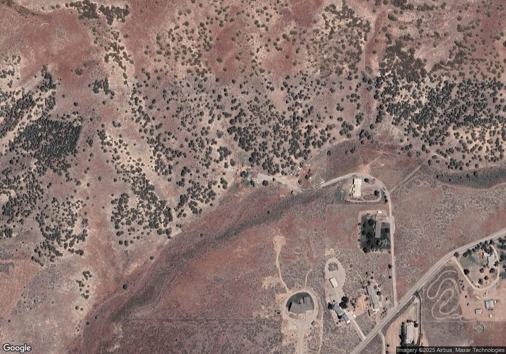
Map
Nearby Homes
- TBD American Rd
- 3035 Dewinter Dr
- 3150 Dartagnan Dr
- 1365 Barton Rd
- 1176 Swisher Rd
- 3457 Jason Ave
- 4290 Stockman Rd
- TBD Short Ave
- 1164 Jasper Loop Unit 2
- 1164 Jasper Loop
- TBD Connard Lot 2
- TBD Connard Lot 3
- 3618 Jason Ave
- TBD #02 Connard Ave Unit Lot 2
- TBD#03 Connard Ave Unit Lot 3
- 845 Barton Rd Unit 36
- 845 Barton Rd Unit 71
- 845 Barton Rd
- 845 Barton Rd Unit 112
- TBD Eagles Landing
- 8856 W Barton Rd
- 8974 W Barton Rd
- 8854 W Barton Rd
- 8920 W Barton Rd
- 8912 W Barton Rd
- 8833 W Barton Rd
- 8759 W Barton Rd
- Tbd W Barton Rd
- 8993 W Barton Rd
- 8915 W Barton Rd
- 2199 Barton Rd
- 2171 Barton Rd
- 2163 Barton Rd
- 2065 Barton Rd
- 0 Barton Rd
- 2035 Barton Rd
- 1940 Barton Rd
- 2772 American Rd
- 1999 Barton Rd
- 1969 Barton Rd