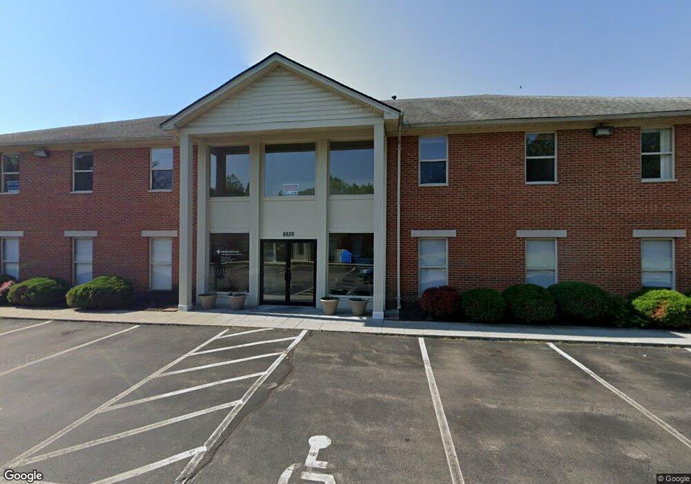
8859 Brookside Ave Unit 201-2 West Chester, OH 45069
West Chester Township NeighborhoodEstimated Value: $1,468,899
--
Bed
--
Bath
10,198
Sq Ft
$144/Sq Ft
Est. Value
About This Home
This home is located at 8859 Brookside Ave Unit 201-2, West Chester, OH 45069 and is currently estimated at $1,468,899, approximately $144 per square foot. 8859 Brookside Ave Unit 201-2 is a home located in Butler County with nearby schools including Freedom Elementary School, Lakota Ridge Junior School, and Lakota West High School.
Ownership History
Date
Name
Owned For
Owner Type
Purchase Details
Closed on
Aug 15, 2005
Sold by
Meade Development Llc
Bought by
Brookside Property Investments Llc
Current Estimated Value
Home Financials for this Owner
Home Financials are based on the most recent Mortgage that was taken out on this home.
Original Mortgage
$584,000
Interest Rate
5.69%
Mortgage Type
Commercial
Create a Home Valuation Report for This Property
The Home Valuation Report is an in-depth analysis detailing your home's value as well as a comparison with similar homes in the area
Home Values in the Area
Average Home Value in this Area
Purchase History
| Date | Buyer | Sale Price | Title Company |
|---|---|---|---|
| Brookside Property Investments Llc | $730,100 | -- |
Source: Public Records
Mortgage History
| Date | Status | Borrower | Loan Amount |
|---|---|---|---|
| Open | Brookside Property Investments Llc | $584,000 |
Source: Public Records
Tax History Compared to Growth
Tax History
| Year | Tax Paid | Tax Assessment Tax Assessment Total Assessment is a certain percentage of the fair market value that is determined by local assessors to be the total taxable value of land and additions on the property. | Land | Improvement |
|---|---|---|---|---|
| 2024 | $12,272 | $201,690 | $18,260 | $183,430 |
| 2023 | $12,207 | $201,690 | $18,260 | $183,430 |
| 2022 | $13,775 | $201,690 | $18,260 | $183,430 |
| 2021 | $13,408 | $201,690 | $18,260 | $183,430 |
| 2020 | $13,647 | $201,690 | $18,260 | $183,430 |
| 2019 | $21,598 | $225,380 | $17,150 | $208,230 |
| 2018 | $15,626 | $225,380 | $17,150 | $208,230 |
| 2017 | $16,868 | $225,380 | $17,150 | $208,230 |
| 2016 | $17,308 | $225,380 | $17,150 | $208,230 |
| 2015 | $17,160 | $225,380 | $17,150 | $208,230 |
| 2014 | $17,871 | $225,380 | $17,150 | $208,230 |
| 2013 | $17,871 | $231,700 | $19,290 | $212,410 |
Source: Public Records
Map
Nearby Homes
- 8919 Eagleview Dr
- 8831 Eagleview Dr
- 8859 Eagleview Dr
- 8583 Kates Way
- 8871 Timberchase Ct
- 6724 Maverick Dr
- 7053 Laurel Oaks Dr
- Palisades Plan at West Ridge
- Brentwood Plan at West Ridge
- Wilshire Plan at West Ridge
- Moorgate Plan at West Ridge - Noble
- Everton Plan at West Ridge - Noble
- Kingsmark Plan at West Ridge - Prestige
- 6812 Cork Dr
- 6791 Cork Dr
- 8848 Oakcrest Way
- 7194 Laurel Oaks Dr
- 8672 Rupp Farm Dr
- 7186 Willow Oak Ct
- 6592 Pullman Ct
- 8859 Brookside Ave Unit 200
- 8859 Brookside Ave Unit 205
- 8899 Brookside Ave
- 8919 Brookside Ave
- 6453 Saint Leger Ct
- 8912 Steeplechase Way
- 8918 Steeplechase Way
- 8906 Steeplechase Way
- 6445 Saint Leger Ct
- 8924 Steeplechase Way
- 8939 Brookside Ave
- 8900 Steeplechase Way
- 8933 Cincinnati Dayton Rd
- 6458 Saint Leger Ct
- 8894 Steeplechase Way
- 8936 Steeplechase Way
- 8919 Lesourdsville West Chester Rd
- 8945 Brookside Ave
- 8888 Steeplechase Way
- 8942 Steeplechase Way