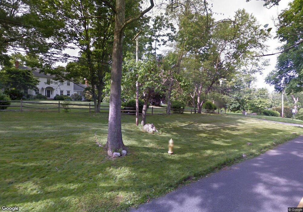
886 Cedar Rd Southport, CT 06890
Estimated Value: $1,017,000 - $1,900,000
4
Beds
4
Baths
3,252
Sq Ft
$494/Sq Ft
Est. Value
About This Home
This home is located at 886 Cedar Rd, Southport, CT 06890 and is currently estimated at $1,605,249, approximately $493 per square foot. 886 Cedar Rd is a home located in Fairfield County with nearby schools including Dwight Elementary School, Roger Ludlowe Middle School, and Fairfield Ludlowe High School.
Ownership History
Date
Name
Owned For
Owner Type
Purchase Details
Closed on
Oct 3, 2013
Sold by
Meese Karen
Bought by
D Charles Llc
Current Estimated Value
Purchase Details
Closed on
Mar 15, 2013
Sold by
Anderson Evelyn
Bought by
Farkas Elizabeth
Purchase Details
Closed on
Oct 9, 1987
Sold by
Dennehy Roy K
Bought by
Harmuth David C
Home Financials for this Owner
Home Financials are based on the most recent Mortgage that was taken out on this home.
Original Mortgage
$200,000
Interest Rate
10.33%
Mortgage Type
Purchase Money Mortgage
Create a Home Valuation Report for This Property
The Home Valuation Report is an in-depth analysis detailing your home's value as well as a comparison with similar homes in the area
Home Values in the Area
Average Home Value in this Area
Purchase History
| Date | Buyer | Sale Price | Title Company |
|---|---|---|---|
| D Charles Llc | $385,000 | -- | |
| D Charles Llc | $385,000 | -- | |
| Farkas Elizabeth | $350,000 | -- | |
| Farkas Elizabeth | $350,000 | -- | |
| Harmuth David C | $427,537 | -- |
Source: Public Records
Mortgage History
| Date | Status | Borrower | Loan Amount |
|---|---|---|---|
| Previous Owner | Harmuth David C | $185,000 | |
| Previous Owner | Harmuth David C | $191,250 | |
| Previous Owner | Harmuth David C | $200,000 |
Source: Public Records
Tax History Compared to Growth
Tax History
| Year | Tax Paid | Tax Assessment Tax Assessment Total Assessment is a certain percentage of the fair market value that is determined by local assessors to be the total taxable value of land and additions on the property. | Land | Improvement |
|---|---|---|---|---|
| 2025 | $21,781 | $767,200 | $491,330 | $275,870 |
| 2024 | $21,405 | $767,200 | $491,330 | $275,870 |
| 2023 | $21,106 | $767,200 | $491,330 | $275,870 |
| 2022 | $20,899 | $767,200 | $491,330 | $275,870 |
| 2021 | $20,699 | $767,200 | $491,330 | $275,870 |
| 2020 | $21,506 | $802,760 | $486,290 | $316,470 |
| 2019 | $21,506 | $802,760 | $486,290 | $316,470 |
| 2018 | $21,161 | $802,760 | $486,290 | $316,470 |
| 2017 | $20,727 | $802,760 | $486,290 | $316,470 |
| 2016 | $20,430 | $802,760 | $486,290 | $316,470 |
| 2015 | $20,156 | $813,050 | $511,000 | $302,050 |
| 2014 | $19,838 | $813,050 | $511,000 | $302,050 |
Source: Public Records
Map
Nearby Homes
- 688 Hulls Farm Rd
- 1213 Cedar Rd
- 1001 Hulls Farm Rd
- 1135 Mill Hill Rd
- 1 Sturges Hwy Unit Lot 1
- 1 Sturges Hwy Unit 2
- 10 Debra Ln
- 21 Queens Grant Dr
- 2683 Bronson Rd
- 844 Mill Hill Terrace
- 125 Old Rd
- 476 Mill Hill Terrace
- 107 Old Rd
- 1 Coastal Ct
- 153 Pease Ave
- 21 Sturges Commons
- 254 Sherwood Farm Rd
- 6 Bayberry Common
- 40 Maple Ave N
- 53 Hilltop Dr
- 790 Cedar Brook Ln
- 852 Cedar Rd
- 770 Cedar Brook Ln
- 890 Cedar Rd
- 790 Cedar Rd
- 780 Cedar Rd
- 924 Cedar Rd
- 896 Cedar (Aka Cedar Lane) Rd
- 896 Cedar Rd
- 786 Cedar Rd
- 770 Cedar Rd
- 5 Morehouse Ln
- 777 Cedar Rd
- 805 Cedar Rd
- 24 Half Mile Rd
- 44 Morehouse Ln
- 809 Cedar Rd
- 720 Cedar Rd
- 815 Cedar Rd
- 591 Hulls Farm Rd