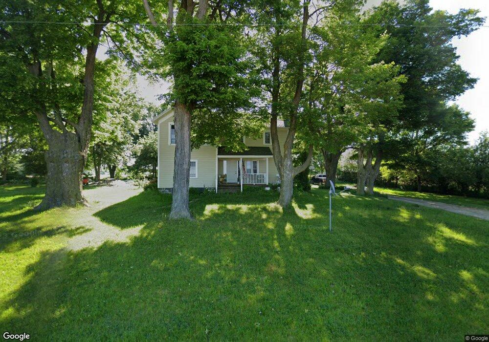
886 Division Rd Sherwood, MI 49089
Estimated Value: $157,000 - $208,000
3
Beds
1
Bath
1,700
Sq Ft
$109/Sq Ft
Est. Value
About This Home
This home is located at 886 Division Rd, Sherwood, MI 49089 and is currently estimated at $185,862, approximately $109 per square foot. 886 Division Rd is a home located in Branch County with nearby schools including Union City Elementary School, Union City Middle School, and Union City High School.
Ownership History
Date
Name
Owned For
Owner Type
Purchase Details
Closed on
Jun 20, 2017
Sold by
Smith Chritopher L and Smith Shirley E
Bought by
Murray John and Murray Karie
Current Estimated Value
Home Financials for this Owner
Home Financials are based on the most recent Mortgage that was taken out on this home.
Original Mortgage
$82,650
Outstanding Balance
$56,179
Interest Rate
3.95%
Mortgage Type
New Conventional
Estimated Equity
$129,683
Purchase Details
Closed on
Nov 30, 2006
Sold by
Anthony Martha
Bought by
Citimortgage Inc
Create a Home Valuation Report for This Property
The Home Valuation Report is an in-depth analysis detailing your home's value as well as a comparison with similar homes in the area
Home Values in the Area
Average Home Value in this Area
Purchase History
| Date | Buyer | Sale Price | Title Company |
|---|---|---|---|
| Murray John | $95,000 | Attorney | |
| Citimortgage Inc | $39,900 | None Available |
Source: Public Records
Mortgage History
| Date | Status | Borrower | Loan Amount |
|---|---|---|---|
| Open | Murray John | $82,650 |
Source: Public Records
Tax History Compared to Growth
Tax History
| Year | Tax Paid | Tax Assessment Tax Assessment Total Assessment is a certain percentage of the fair market value that is determined by local assessors to be the total taxable value of land and additions on the property. | Land | Improvement |
|---|---|---|---|---|
| 2025 | $1,495 | $81,200 | $0 | $0 |
| 2024 | $504 | $83,150 | $0 | $0 |
| 2023 | $504 | $79,550 | $0 | $0 |
| 2022 | $504 | $67,500 | $0 | $0 |
| 2021 | -- | $65,450 | $0 | $0 |
| 2020 | -- | $64,400 | $0 | $0 |
| 2019 | -- | $58,000 | $0 | $0 |
| 2018 | -- | $55,450 | $0 | $0 |
| 2017 | -- | $50,200 | $0 | $0 |
| 2016 | -- | $42,500 | $0 | $0 |
| 2015 | -- | $43,000 | $0 | $0 |
| 2014 | -- | $48,200 | $0 | $0 |
| 2013 | -- | $48,300 | $0 | $0 |
Source: Public Records
Map
Nearby Homes
- 0 N Main St Unit Vacant
- 140 W Clay St
- 0 Dunks Rd
- 893 Vogel Dr
- 881 Brent Dr
- 796 W Girard Rd
- v/l Oliverda Rd
- VL Heights Dr
- 774 Ralston Rd
- 1252 Cherokee Dr
- 1332 Cherokee Dr
- 793 Blossom Rd
- 912 W Colon Rd
- 110 Dotson Dr
- 786 W Colon Rd
- 0 Dotson Dr Unit 24037129
- 555 Claar Rd
- 982 Stanton Rd
- V/L Chippawa Circle Dr
- 1161 Oak Grove Park
- 896 Division Rd
- 920 Division Rd
- 924 Division Rd
- 875 Division Rd
- 875 Division Rd
- 938 Division Rd
- 947 Division Rd
- 944 Division Rd
- 857 Division Rd
- 948 Division Rd
- 758 Locke Rd
- 959 Division Rd
- 754 Locke Rd
- 846 Division Rd
- 968 Division Rd
- 0 Locke Rd
- 881 van Warmer Rd
- 832 van Warmer Rd
- 720 Locke Rd
- 720 Locke Rd