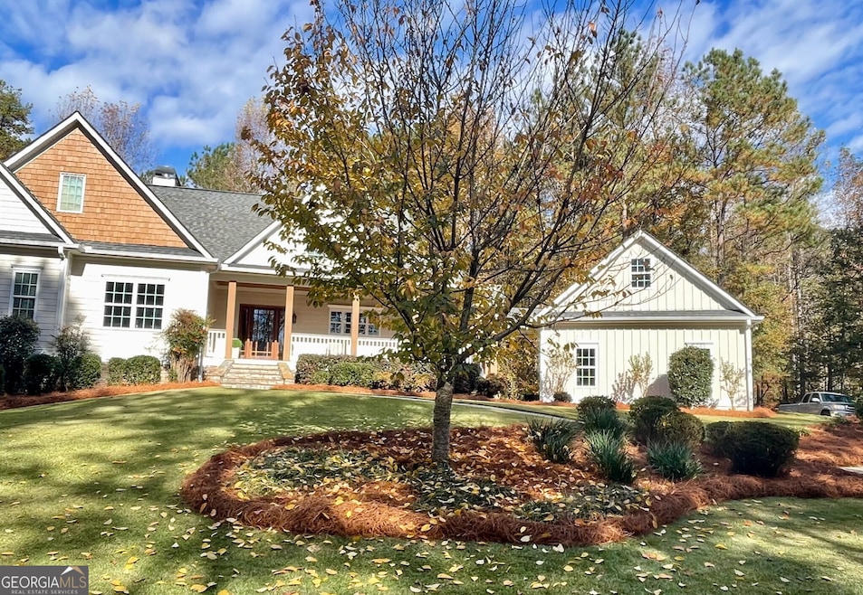

886 Moore Rd Newnan, GA 30263
Highlights
- 2.28 Acre Lot
- No HOA
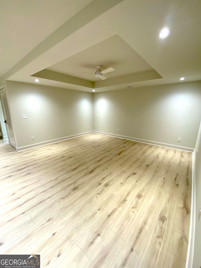
- Tray Ceiling
- Craftsman Architecture
- Formal Dining Room
- Double Vanity
About This Home
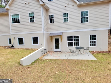
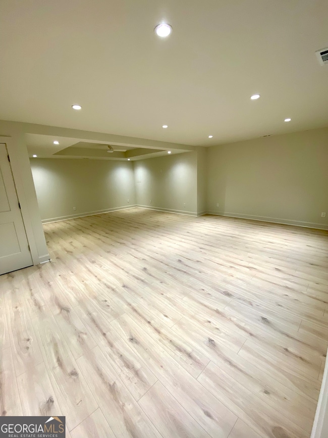
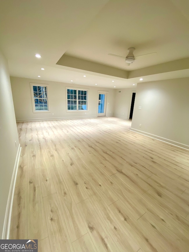
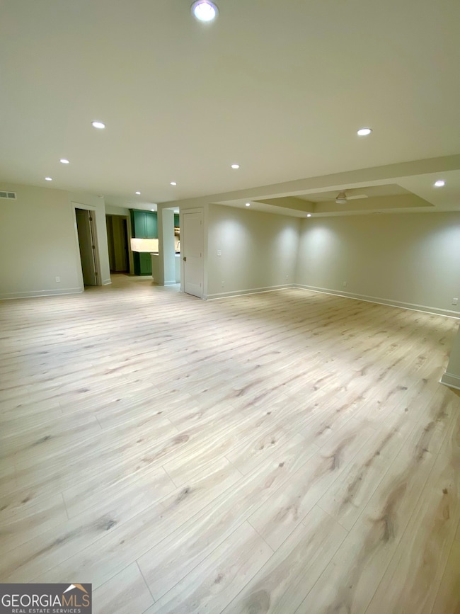
Enjoy country living in this newly finished basement apartment in a peaceful setting! This beautiful unit offers 2 bedrooms, 2 full bathrooms, a spacious open-style kitchen with an island, a large living room and dining room, and a separate laundry room. The apartment has its own private access, driveway entrance, and detached carport (currently under construction). A cute patio provides the perfect spot for relaxing or grilling out. You'll have easy access to Hwy 16, and the hospital, shopping, and dining in Ashley Park are less than 10 minutes away. Schedule your tour today!
Listing Agent
Keller Williams Realty Atl. Partners License #271230 Listed on: 12/08/2025

Home Details
Home Type
- Single Family
Est. Annual Taxes
- $6,377
Year Built
- Built in 2006 | Remodeled
Lot Details
- 2.28 Acre Lot
Parking
- Carport
Home Design
- House
- Craftsman Architecture
- Composition Roof
- Concrete Siding
Interior Spaces
- 1-Story Property
- Tray Ceiling
- Ceiling Fan
- Family Room
- Formal Dining Room
- Laundry Room
Kitchen
- Oven or Range
- Dishwasher
Flooring
- Laminate
- Tile
Bedrooms and Bathrooms
- 2 Bedrooms
- 2 Full Bathrooms
- Double Vanity
- Bathtub Includes Tile Surround
- Separate Shower
Finished Basement
- Exterior Basement Entry
- Finished Basement Bathroom
- Laundry in Basement
- Natural lighting in basement
Schools
- Poplar Road Elementary School
- East Coweta Middle School
- East Coweta High School
Utilities
- Central Heating and Cooling System
- Electric Water Heater
- Septic Tank
- Cable TV Available
Listing and Financial Details
- Security Deposit $1,795
- 12-Month Min and 36-Month Max Lease Term
Community Details
Overview
- No Home Owners Association
- Greenbelt
Pet Policy
- No Pets Allowed
Map
Source: Georgia MLS
MLS Number: 10654854
APN: 113-1011-022
Disclaimer: Certain information contained herein is derived from information provided by parties other than Homes.com. All information provided is deemed reliable, but is not guaranteed to be accurate and should be independently verified.
![]() The data relating to real estate for sale on this web site comes in part from the Broker Reciprocity Program of Georgia MLS. Real estate listings held by brokerage firms other than Redfin are marked with the Broker Reciprocity logo and detailed information about them includes the name of the listing brokers. Information deemed reliable but not guaranteed. Copyright 2025 Georgia MLS. All rights reserved.
The data relating to real estate for sale on this web site comes in part from the Broker Reciprocity Program of Georgia MLS. Real estate listings held by brokerage firms other than Redfin are marked with the Broker Reciprocity logo and detailed information about them includes the name of the listing brokers. Information deemed reliable but not guaranteed. Copyright 2025 Georgia MLS. All rights reserved.
- 465 Little Rd
- 92 Gordon Oaks Way
- 215 Grey Fairs Ave
- 0 Cannon Rd Unit 7627017
- 0 Cannon Rd Unit 10566028
- 143 Ryeland Dr
- 98 Ryeland Dr
- 136 Ryeland Dr
- 2784 Martin Mill Rd
- 160 Brooks Lake Dr
- 4083 Highway 54
- 2725 Gordon Rd
- 1495 Martin Mill Rd
- 30 Linton Estates Ave
- 2963 Gordon Rd
- 2 Whites Pond Rd
- 59 Akers Lake Dr
- 1948 Highway 16 E
- 1877 Highway 16 E
- 2812 Highway 16 E
- 886 Moore Rd Unit Daylight Basement Apt
- 65 Applewood Cir
- 42 Kentucky Ave
- 26 Kentucky Ave
- 67 Kentucky Ave
- 257 Bur Oak Bend Unit Cabral
- 257 Bur Oak Bend Unit Cali
- 257 Bur Oak Bend Unit Robie
- 162 Ashton Place
- 257 Bur Oak Bend
- 26 Angel Trace
- 26 Fenway Ct
- 193 Fairway Dr
- 35 Club Cresswind
- 28 Sandstone Dr
- 106 Fairway Dr
- 492 Pine Rd
- 60 Riverside Pkwy Unit 1
- 88 Tapestry Ln
- 139 Village Park Dr