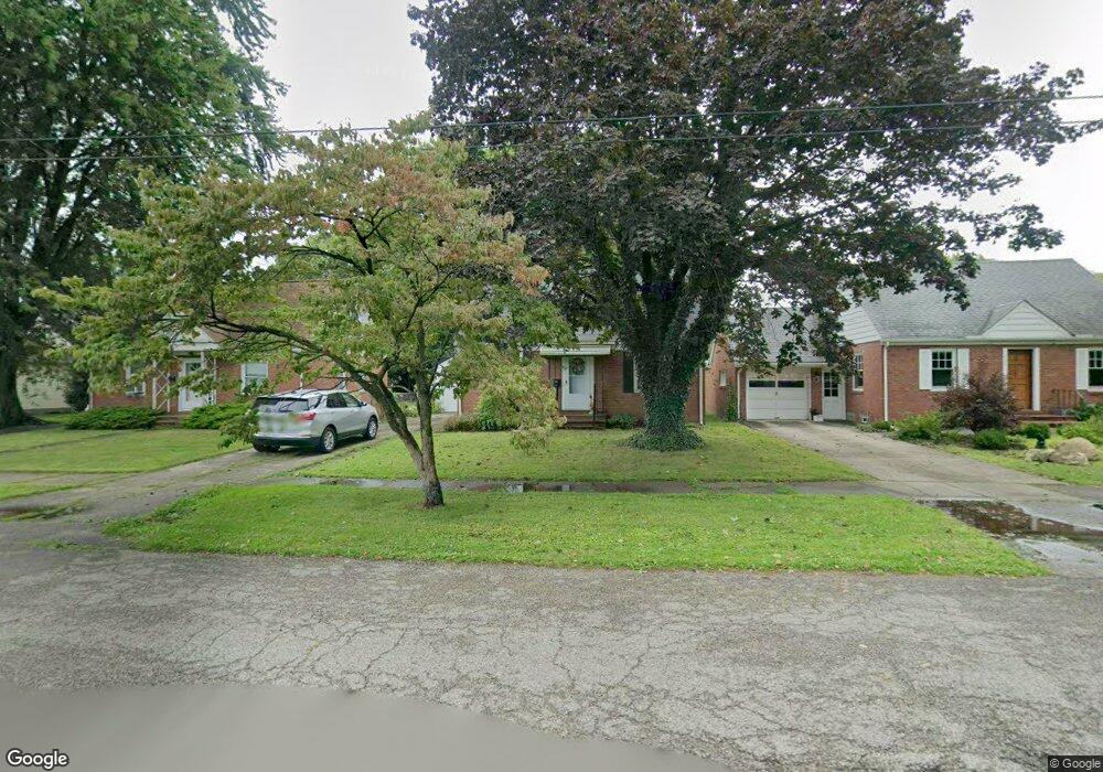
886 Sandusky St Conneaut, OH 44030
Estimated Value: $98,000 - $134,000
3
Beds
1
Bath
1,092
Sq Ft
$107/Sq Ft
Est. Value
About This Home
This home is located at 886 Sandusky St, Conneaut, OH 44030 and is currently estimated at $116,699, approximately $106 per square foot. 886 Sandusky St is a home located in Ashtabula County with nearby schools including Lakeshore Primary Elementary School, Gateway Elementary School, and Conneaut Middle School.
Ownership History
Date
Name
Owned For
Owner Type
Purchase Details
Closed on
Feb 13, 2003
Sold by
Mclaughlin Donna L
Bought by
Arcaro David A
Current Estimated Value
Create a Home Valuation Report for This Property
The Home Valuation Report is an in-depth analysis detailing your home's value as well as a comparison with similar homes in the area
Home Values in the Area
Average Home Value in this Area
Purchase History
| Date | Buyer | Sale Price | Title Company |
|---|---|---|---|
| Arcaro David A | $30,000 | -- | |
| Arcaro David A | $30,000 | -- |
Source: Public Records
Tax History Compared to Growth
Tax History
| Year | Tax Paid | Tax Assessment Tax Assessment Total Assessment is a certain percentage of the fair market value that is determined by local assessors to be the total taxable value of land and additions on the property. | Land | Improvement |
|---|---|---|---|---|
| 2024 | $1,982 | $27,090 | $4,410 | $22,680 |
| 2023 | $838 | $27,090 | $4,410 | $22,680 |
| 2022 | $610 | $20,200 | $3,400 | $16,800 |
| 2021 | $621 | $20,200 | $3,400 | $16,800 |
| 2020 | $620 | $20,200 | $3,400 | $16,800 |
| 2019 | $611 | $19,820 | $2,910 | $16,910 |
| 2018 | $583 | $19,820 | $2,910 | $16,910 |
| 2017 | $543 | $19,820 | $2,910 | $16,910 |
| 2016 | $499 | $19,150 | $2,800 | $16,350 |
| 2015 | $1,640 | $19,150 | $2,800 | $16,350 |
| 2014 | $1,061 | $19,150 | $2,800 | $16,350 |
| 2013 | $5,227 | $21,570 | $3,190 | $18,380 |
Source: Public Records
Map
Nearby Homes
- 880 Sandusky St
- 890 Sandusky St
- 876 Sandusky St
- 875 Buffalo St
- 883 Buffalo St
- 869 Buffalo St
- 866 Sandusky St
- 887 Sandusky St
- 879 Sandusky St
- 861 Buffalo St
- 893 Sandusky St
- 871 Sandusky St
- 887 Buffalo St
- 855 Buffalo St
- 860 Sandusky St
- 867 Sandusky St
- 294 Lake Rd
- 312 Lake Rd
- 286 Lake Rd
- 854 Sandusky St