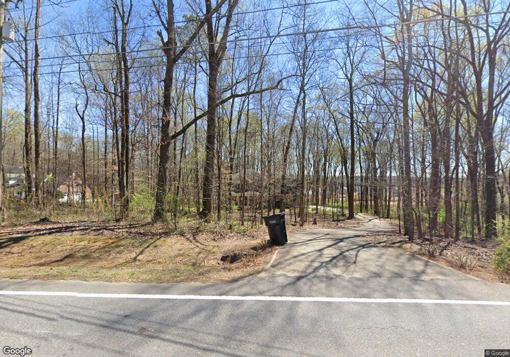
8860 E Cherokee Dr Canton, GA 30115
Union Hill NeighborhoodEstimated Value: $446,000 - $733,000
3
Beds
3
Baths
2,008
Sq Ft
$287/Sq Ft
Est. Value
About This Home
This home is located at 8860 E Cherokee Dr, Canton, GA 30115 and is currently estimated at $576,065, approximately $286 per square foot. 8860 E Cherokee Dr is a home located in Cherokee County with nearby schools including Macedonia Elementary School, Creekland Middle School, and Creekview High School.
Ownership History
Date
Name
Owned For
Owner Type
Purchase Details
Closed on
Oct 5, 2005
Sold by
Mccall John T and Mccall Maria
Bought by
Mccall John and Mccall Maria
Current Estimated Value
Home Financials for this Owner
Home Financials are based on the most recent Mortgage that was taken out on this home.
Original Mortgage
$106,000
Interest Rate
5.9%
Mortgage Type
New Conventional
Create a Home Valuation Report for This Property
The Home Valuation Report is an in-depth analysis detailing your home's value as well as a comparison with similar homes in the area
Home Values in the Area
Average Home Value in this Area
Purchase History
| Date | Buyer | Sale Price | Title Company |
|---|---|---|---|
| Mccall John | -- | -- |
Source: Public Records
Mortgage History
| Date | Status | Borrower | Loan Amount |
|---|---|---|---|
| Previous Owner | Mccall John | $106,000 |
Source: Public Records
Tax History Compared to Growth
Tax History
| Year | Tax Paid | Tax Assessment Tax Assessment Total Assessment is a certain percentage of the fair market value that is determined by local assessors to be the total taxable value of land and additions on the property. | Land | Improvement |
|---|---|---|---|---|
| 2025 | $5,743 | $249,540 | $88,200 | $161,340 |
| 2024 | $4,947 | $208,040 | $76,120 | $131,920 |
| 2023 | $4,277 | $196,880 | $63,000 | $133,880 |
| 2022 | $3,725 | $147,920 | $63,000 | $84,920 |
| 2021 | $3,325 | $119,320 | $52,480 | $66,840 |
| 2020 | $3,356 | $120,320 | $52,480 | $67,840 |
| 2019 | $3,537 | $126,680 | $52,480 | $74,200 |
| 2018 | $3,445 | $122,760 | $52,480 | $70,280 |
| 2017 | $3,359 | $297,100 | $47,640 | $71,200 |
| 2016 | $3,002 | $263,600 | $39,560 | $65,880 |
| 2015 | $3,057 | $265,700 | $39,560 | $66,720 |
| 2014 | $2,823 | $245,300 | $33,120 | $65,000 |
Source: Public Records
Map
Nearby Homes
- 164 Aspen Hall Dr
- 176 Aspen Hall Dr
- 205 Carrington Point
- 135 Aspen Hall Dr
- 00 Memory Ln
- 403 Glenhurst Trace Unit 9B
- 1354 Collett Dr
- 105 Ridgemoor Trace Unit 14A
- 339 Bennington Place
- 147 Cadence Trail
- 8024 E Cherokee Dr
- 402 Greyfield Dr
- 201 Devonshire Ct Unit 1A
- 110 Grandmar Chase
- 402 Wilshire Ln
- 144 Oak Haven Dr
- 208 Grandmar Chase
- 329 Owens Store Rd
- 601 Davenport Place
- 7915 E Cherokee Dr
- 8870 E Cherokee Dr
- 8794 E Cherokee Dr
- 201 Woodridge Pkwy
- 168 Aspen Hall Dr
- 172 Aspen Hall Dr
- 8805 E Cherokee Dr
- 200 Woodridge Pkwy
- 203 Woodridge Pkwy Unit 4015
- 203 Woodridge Pkwy
- 8930 E Cherokee Dr
- 165 Aspen Hall Dr
- 180 Aspen Hall Dr
- 160 Aspen Hall Dr
- 179 Aspen Hall Dr
- 205 Woodridge Pkwy
- 202 Woodridge Pkwy
- 209 Carrington Point
- 8781 E Cherokee Dr
- 208 Carrington Point
- 184 Haley Farm Rd
