8863 Wuest Rd Cincinnati, OH 45251
Estimated Value: $182,000 - $262,000
3
Beds
2
Baths
1,280
Sq Ft
$187/Sq Ft
Est. Value
About This Home
This home is located at 8863 Wuest Rd, Cincinnati, OH 45251 and is currently estimated at $239,251, approximately $186 per square foot. 8863 Wuest Rd is a home located in Hamilton County with nearby schools including Colerain Elementary School, Colerain Middle School, and Colerain High School.
Ownership History
Date
Name
Owned For
Owner Type
Purchase Details
Closed on
Oct 25, 2017
Sold by
Beebe Sharon S
Bought by
Beebe Glenn R and Beebe Sharon S
Current Estimated Value
Purchase Details
Closed on
Nov 20, 2002
Sold by
Stroud James R and Stroud Victoria A
Bought by
Beebe Sharon S
Purchase Details
Closed on
Jul 26, 2002
Sold by
Miller Raymond
Bought by
Stroud James R and Stroud Victoria A
Home Financials for this Owner
Home Financials are based on the most recent Mortgage that was taken out on this home.
Original Mortgage
$121,000
Interest Rate
6.62%
Purchase Details
Closed on
Jul 9, 2002
Sold by
Estate Of Robert Miller
Bought by
Miller Raymond and Miller Richard
Home Financials for this Owner
Home Financials are based on the most recent Mortgage that was taken out on this home.
Original Mortgage
$121,000
Interest Rate
6.62%
Purchase Details
Closed on
May 22, 2002
Sold by
Miller Richard and Miller Richard H
Bought by
Miller Raymond
Create a Home Valuation Report for This Property
The Home Valuation Report is an in-depth analysis detailing your home's value as well as a comparison with similar homes in the area
Home Values in the Area
Average Home Value in this Area
Purchase History
| Date | Buyer | Sale Price | Title Company |
|---|---|---|---|
| Beebe Glenn R | -- | None Available | |
| Beebe Sharon S | $126,000 | -- | |
| Stroud James R | $47,500 | -- | |
| Stroud James R | $47,500 | -- | |
| Miller Raymond | -- | -- | |
| Miller Raymond | -- | -- |
Source: Public Records
Mortgage History
| Date | Status | Borrower | Loan Amount |
|---|---|---|---|
| Closed | Stroud James R | $121,000 |
Source: Public Records
Tax History
| Year | Tax Paid | Tax Assessment Tax Assessment Total Assessment is a certain percentage of the fair market value that is determined by local assessors to be the total taxable value of land and additions on the property. | Land | Improvement |
|---|---|---|---|---|
| 2025 | $3,510 | $60,750 | $22,614 | $38,136 |
| 2023 | $3,379 | $60,750 | $22,614 | $38,136 |
| 2022 | $3,334 | $49,036 | $21,340 | $27,696 |
| 2021 | $3,366 | $49,036 | $21,340 | $27,696 |
| 2020 | $3,326 | $49,036 | $21,340 | $27,696 |
| 2019 | $3,036 | $41,556 | $18,085 | $23,471 |
| 2018 | $2,732 | $41,556 | $18,085 | $23,471 |
| 2017 | $2,625 | $41,556 | $18,085 | $23,471 |
| 2016 | $2,549 | $39,368 | $18,130 | $21,238 |
| 2015 | $2,537 | $39,368 | $18,130 | $21,238 |
| 2014 | $2,545 | $39,368 | $18,130 | $21,238 |
| 2013 | $2,552 | $41,441 | $19,086 | $22,355 |
Source: Public Records
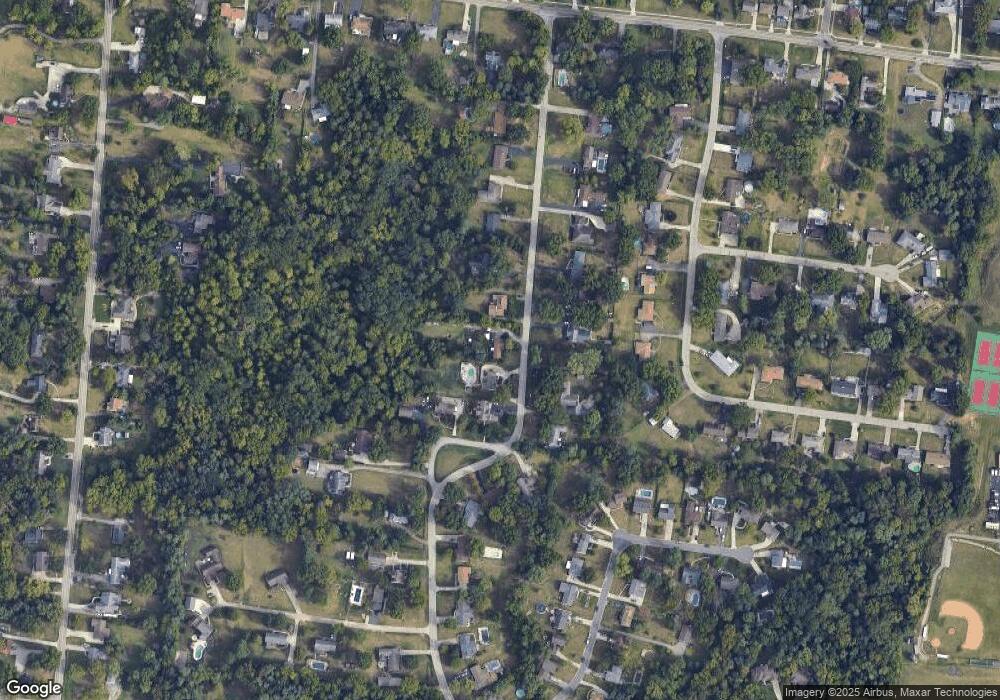
Map
Nearby Homes
- 8877 Wuest Rd
- 9136 Yellowwood Dr
- 8530 Wuest Rd
- 9111 Cobblechase Ct
- 8747 Cheviot Rd
- 3760 Brockton Dr
- 9125 Round Top Rd
- 3494 Poole Rd
- 5613 Old Blue Rock Rd
- 3937 Olde Savannah Dr Unit 3937
- 8261 Cheviot Rd
- 3970 Olde Savannah Dr
- 5658 Springdale Rd
- 3701 W Galbraith Rd
- 3691 W Galbraith Rd
- 3693 W Galbraith Rd
- 3467 Amberway Ct Unit 85
- 3364 Amberway Ct Unit 45
- 3798 Philnoll Dr
- 3724 Yellowstone Dr
- 8847 Wuest Rd
- 8835 Wuest Rd
- 8870 Wuest Rd
- 8793 Wuest Rd
- 8846 Wuest Rd
- 8895 Wuest Rd
- 8882 Wuest Rd
- 8830 Wuest Rd
- 8896 Wuest Rd
- 8911 Wuest Rd
- 8816 Wuest Rd
- 8912 Wuest Rd
- 3941 Woodthrush Dr
- 3927 Woodthrush Dr
- 3965 Woodthrush Dr
- 8925 Wuest Rd
- 8798 Wuest Rd
- 8779 Wuest Rd
- 3979 Woodthrush Dr
- 8703 Indianwoods Dr
Your Personal Tour Guide
Ask me questions while you tour the home.