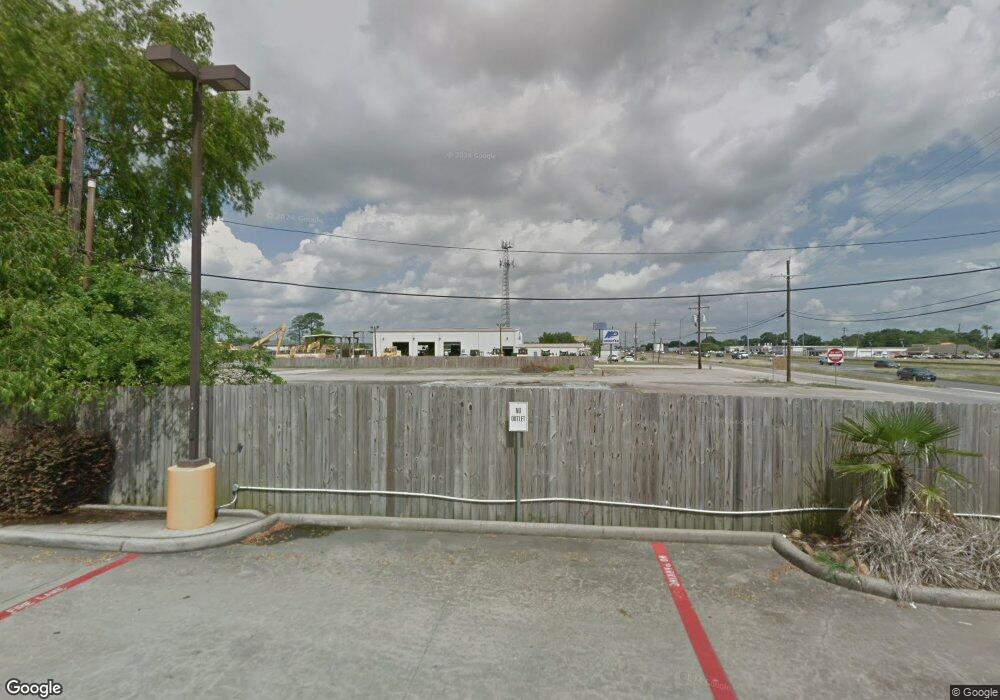
8867 Highway 69 Port Arthur, TX 77640
Estimated Value: $48,000 - $224,000
--
Bed
--
Bath
--
Sq Ft
1.92
Acres
About This Home
This home is located at 8867 Highway 69, Port Arthur, TX 77640 and is currently estimated at $139,000. 8867 Highway 69 is a home located in Jefferson County with nearby schools including Nederland High School.
Ownership History
Date
Name
Owned For
Owner Type
Purchase Details
Closed on
Jun 12, 2025
Sold by
Meghani Saleem and Hussain Irshed
Bought by
69 Property Llc
Current Estimated Value
Purchase Details
Closed on
Feb 10, 2004
Sold by
Parker Ernest
Bought by
Excavators & Constructors Inc
Create a Home Valuation Report for This Property
The Home Valuation Report is an in-depth analysis detailing your home's value as well as a comparison with similar homes in the area
Home Values in the Area
Average Home Value in this Area
Purchase History
| Date | Buyer | Sale Price | Title Company |
|---|---|---|---|
| 69 Property Llc | -- | None Listed On Document | |
| Excavators & Constructors Inc | -- | None Available |
Source: Public Records
Tax History Compared to Growth
Tax History
| Year | Tax Paid | Tax Assessment Tax Assessment Total Assessment is a certain percentage of the fair market value that is determined by local assessors to be the total taxable value of land and additions on the property. | Land | Improvement |
|---|---|---|---|---|
| 2025 | $3,120 | $194,445 | $194,445 | -- |
| 2024 | $3,120 | $194,445 | $194,445 | -- |
| 2023 | $3,120 | $103,428 | $103,428 | $0 |
| 2022 | $2,859 | $103,428 | $103,428 | $0 |
| 2021 | $3,106 | $103,428 | $103,428 | $0 |
| 2020 | $3,197 | $103,428 | $103,428 | $0 |
| 2019 | $3,628 | $103,430 | $103,430 | $0 |
| 2018 | $2,950 | $103,430 | $103,430 | $0 |
| 2017 | $2,863 | $103,430 | $103,430 | $0 |
| 2016 | $2,830 | $103,430 | $103,430 | $0 |
| 2015 | $2,872 | $103,430 | $103,430 | $0 |
| 2014 | $2,872 | $103,430 | $103,430 | $0 |
Source: Public Records
Map
Nearby Homes
- 9200 Lisa Ln
- 9101 Laura Ln
- 3404 Avenue L
- 3615 Avenue G
- 139 Hilldale Dr
- 156 Hilldale Dr
- 440 Highway 365
- 619 S 33rd St
- 10125 Dominion Ranch Dr
- 2820 Avenue N
- 2600 Stable Gate Ln
- 2904 Avenue I
- 2719 Avenue M
- 2650 Cedar Springs Ln
- 10230 Maple Falls
- 3301 Roya Ct
- 9th Avenue & Honeywood Ct Unit Lot 1 Honeywood Ct
- 215 N 37th St
- 3728 Chandelle Ln
- 505 S 27th St
- 8829 El Paso Ave
- 8949 El Paso Ave
- 8907 El Paso Ave
- 8951 Memorial Blvd
- 9001 El Paso Ave
- 000 El Paso
- 8989 U S 69
- 9047 El Paso Ave
- 2800 90th St
- 1408 S 37th St
- 2810 90th St
- 2820 90th St
- 2830 90th St
- 1993 Memorial Blvd Unit Building B
- 2840 90th St
- 1419 S 37th St
- 1513 S 37th St
- 2814 90th St
- 1411 S 37th St
- 1403 S 37th St
