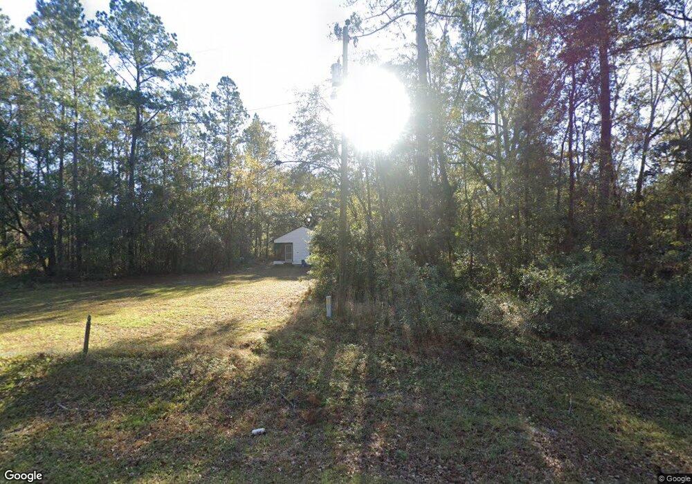
887 Carter Rd Allenhurst, GA 31301
Estimated Value: $170,616 - $288,000
--
Bed
1
Bath
2,366
Sq Ft
$107/Sq Ft
Est. Value
About This Home
This home is located at 887 Carter Rd, Allenhurst, GA 31301 and is currently estimated at $252,904, approximately $106 per square foot. 887 Carter Rd is a home with nearby schools including Frank Long Elementary School, Lewis Frasier Middle School, and Liberty County High School.
Ownership History
Date
Name
Owned For
Owner Type
Purchase Details
Closed on
May 25, 2012
Sold by
Crosby Deborah
Bought by
Smith Eva K
Current Estimated Value
Purchase Details
Closed on
May 20, 2010
Sold by
Smith Eva K
Bought by
Lovelace Sandra
Purchase Details
Closed on
Feb 26, 2010
Sold by
G Yeomans Construction Inc
Bought by
Hicks Joshua L and Hicks Melissa D
Home Financials for this Owner
Home Financials are based on the most recent Mortgage that was taken out on this home.
Original Mortgage
$173,655
Interest Rate
4.97%
Mortgage Type
VA
Purchase Details
Closed on
Sep 1, 2009
Sold by
Crosby Deborah C
Bought by
Hicks Melissa D
Purchase Details
Closed on
Mar 5, 2009
Sold by
Smith Eva K
Bought by
Crosby Deborah C
Purchase Details
Closed on
Aug 20, 1970
Bought by
Smith Henry Reverend
Create a Home Valuation Report for This Property
The Home Valuation Report is an in-depth analysis detailing your home's value as well as a comparison with similar homes in the area
Home Values in the Area
Average Home Value in this Area
Purchase History
| Date | Buyer | Sale Price | Title Company |
|---|---|---|---|
| Smith Eva K | -- | -- | |
| Lovelace Sandra | -- | -- | |
| Crosby Deborah | -- | -- | |
| Hicks Joshua L | $170,000 | -- | |
| Hicks Melissa D | -- | -- | |
| G Yeomans Construction Inc | -- | -- | |
| Crosby Deborah C | -- | -- | |
| Smith Henry Reverend | -- | -- |
Source: Public Records
Mortgage History
| Date | Status | Borrower | Loan Amount |
|---|---|---|---|
| Previous Owner | Hicks Joshua L | $173,655 |
Source: Public Records
Tax History
| Year | Tax Paid | Tax Assessment Tax Assessment Total Assessment is a certain percentage of the fair market value that is determined by local assessors to be the total taxable value of land and additions on the property. | Land | Improvement |
|---|---|---|---|---|
| 2024 | $1,486 | $25,279 | $12,425 | $12,854 |
| 2023 | $1,057 | $24,028 | $12,425 | $11,603 |
| 2022 | $762 | $19,408 | $9,940 | $9,468 |
| 2021 | $728 | $18,604 | $9,940 | $8,664 |
| 2020 | $738 | $18,799 | $9,940 | $8,859 |
| 2019 | $727 | $18,994 | $9,940 | $9,054 |
| 2018 | $725 | $19,189 | $9,940 | $9,249 |
| 2017 | $822 | $19,384 | $9,940 | $9,444 |
| 2016 | $689 | $19,580 | $9,940 | $9,640 |
| 2015 | $689 | $18,731 | $9,091 | $9,640 |
| 2014 | $689 | $19,370 | $9,091 | $10,279 |
| 2013 | -- | $21,634 | $12,376 | $9,258 |
Source: Public Records
Map
Nearby Homes
- 127 Busbee Rd
- 28 Beaumont Dr
- 34 Beaumont Dr
- 27 Zoe Ln
- 0 & 1 Denise Ln
- 129 Vandiver Rd
- 619 Mccumber Dr
- 143 Morningside Dr
- 95 Stephanie Dr
- 491 Sabreena Cir
- 161 Crosby Dr
- 23 Sabreena Cir
- 479 Mccumber Dr
- 353 Wilder Rd
- 192 Boundary Hall Way
- 337 Boundary Hall Way
- 152 Boundary Hall Way
- 185 Boundary Hall Way
- 275 Boundary Hall Way
- 367 Boundary Hall Way
- 825 Carter Rd
- 93 Strickland Rd
- 127 Strickland Rd
- 19 Strickland Rd
- 6 Strickland Rd
- 39 Strickland Rd
- 157 Strickland Rd
- 787 Carter Rd
- Lot 5 Strickland Rd
- 124 Strickland Rd
- 1 Strickland Rd
- 183 Strickland Rd
- 178 Strickland Rd
- 734 Carter Rd
- 5540 W Oglethorpe Hwy
- 228 Strickland Rd Unit A
- 228 Strickland Rd Unit B
- 261 Strickland Rd
- 33 Hillary Ln
Your Personal Tour Guide
Ask me questions while you tour the home.