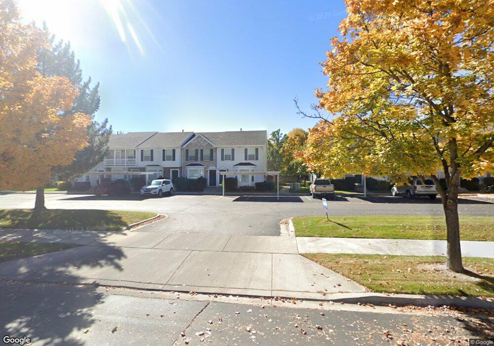
887 N 1760 W Unit 5 Provo, UT 84604
Rivergrove NeighborhoodEstimated Value: $347,608 - $380,000
3
Beds
2
Baths
1,300
Sq Ft
$276/Sq Ft
Est. Value
About This Home
This home is located at 887 N 1760 W Unit 5, Provo, UT 84604 and is currently estimated at $358,402, approximately $275 per square foot. 887 N 1760 W Unit 5 is a home located in Utah County with nearby schools including Westridge Elementary School, Dixon Middle School, and Provo High School.
Ownership History
Date
Name
Owned For
Owner Type
Purchase Details
Closed on
Nov 22, 2006
Sold by
Workman Lance Jon
Bought by
Heaston Marissa C
Current Estimated Value
Purchase Details
Closed on
Jul 10, 2001
Sold by
Sumnall Allan S R and Sumnall Shara L
Bought by
Workman Lance Jon
Home Financials for this Owner
Home Financials are based on the most recent Mortgage that was taken out on this home.
Original Mortgage
$126,022
Interest Rate
7.26%
Mortgage Type
FHA
Purchase Details
Closed on
Feb 12, 1999
Sold by
Georgetown Development Inc
Bought by
Sumnall Allan S R and Sumnall Shara L
Home Financials for this Owner
Home Financials are based on the most recent Mortgage that was taken out on this home.
Original Mortgage
$114,059
Interest Rate
6.77%
Mortgage Type
FHA
Create a Home Valuation Report for This Property
The Home Valuation Report is an in-depth analysis detailing your home's value as well as a comparison with similar homes in the area
Home Values in the Area
Average Home Value in this Area
Purchase History
| Date | Buyer | Sale Price | Title Company |
|---|---|---|---|
| Heaston Marissa C | -- | First American Title Agency | |
| Workman Lance Jon | -- | Metro National Title | |
| Sumnall Allan S R | -- | First American Title Co |
Source: Public Records
Mortgage History
| Date | Status | Borrower | Loan Amount |
|---|---|---|---|
| Previous Owner | Workman Lance Jon | $126,022 | |
| Previous Owner | Sumnall Allan S R | $114,059 |
Source: Public Records
Tax History Compared to Growth
Tax History
| Year | Tax Paid | Tax Assessment Tax Assessment Total Assessment is a certain percentage of the fair market value that is determined by local assessors to be the total taxable value of land and additions on the property. | Land | Improvement |
|---|---|---|---|---|
| 2025 | $1,802 | $177,815 | $47,500 | $275,800 |
| 2024 | $1,802 | $177,375 | $0 | $0 |
| 2023 | $1,790 | $173,745 | $0 | $0 |
| 2022 | $1,767 | $172,920 | $0 | $0 |
| 2021 | $1,385 | $236,400 | $35,500 | $200,900 |
| 2020 | $1,361 | $217,800 | $32,700 | $185,100 |
| 2019 | $1,274 | $212,000 | $28,000 | $184,000 |
| 2018 | $1,126 | $190,000 | $24,000 | $166,000 |
| 2017 | $985 | $91,300 | $0 | $0 |
| 2016 | $990 | $85,525 | $0 | $0 |
| 2015 | $924 | $80,685 | $0 | $0 |
| 2014 | $856 | $77,935 | $0 | $0 |
Source: Public Records
Map
Nearby Homes
- 932 N 1760 W
- 927 Independence Ave
- 1620 W 1000 N
- 2075 W 1080 N
- 2043 W 1100 N
- 1127 Independence Ave
- 1451 Arthur Dr
- 1503 N 1980 W
- 2397 W 1160 N
- 1471 W 1460 N
- 2216 W 480 N
- 2316 W 510 N
- 1375 W 1460 N
- 255 N 1600 W Unit 148
- 255 N 1600 W Unit 52
- 1215 W 580 N
- 1375 W 500 N Unit 95
- 1616 N 2100 W
- 1188 W 1380 N
- 630 N 1100 W
- 887 N 1760 W
- 885 N 1760 W
- 901 N 1760 W
- 883 N 1760 W
- 883 N 1760 W Unit 3
- 881 N 1760 W
- 903 N 1760 W
- 903 N 1760 W Unit 7
- 905 N 1760 W
- 879 N 1760 W
- 879 N 1760 W Unit 1
- 907 N 1760 W
- 907 N 1760 W Unit 9
- 909 N 1760 W
- 882 Independence Ave
- 882 Independence Ave Unit 13
- 884 Independence Ave
- 884 Independence Ave Unit 14
- 886 Independence Ave
- 880 Independence Ave