887 Reid Rd Unit 622 Lexington, VA 24450
Estimated Value: $393,000 - $621,625
3
Beds
3
Baths
2,400
Sq Ft
$217/Sq Ft
Est. Value
About This Home
This home is located at 887 Reid Rd Unit 622, Lexington, VA 24450 and is currently estimated at $519,656, approximately $216 per square foot. 887 Reid Rd Unit 622 is a home located in Rockbridge County with nearby schools including Rockbridge County High School.
Ownership History
Date
Name
Owned For
Owner Type
Purchase Details
Closed on
Jan 20, 2023
Sold by
Lupo Carrie J
Bought by
Lupo And Cain Joint Living Trust
Current Estimated Value
Purchase Details
Closed on
Nov 6, 2007
Sold by
Freivalds John and Freivalds Margo Anne
Bought by
Lupo Carrie J and Cain Judith B
Home Financials for this Owner
Home Financials are based on the most recent Mortgage that was taken out on this home.
Original Mortgage
$404,800
Interest Rate
6.42%
Mortgage Type
New Conventional
Create a Home Valuation Report for This Property
The Home Valuation Report is an in-depth analysis detailing your home's value as well as a comparison with similar homes in the area
Home Values in the Area
Average Home Value in this Area
Purchase History
| Date | Buyer | Sale Price | Title Company |
|---|---|---|---|
| Lupo And Cain Joint Living Trust | -- | None Listed On Document | |
| Lupo Carrie J | -- | None Available |
Source: Public Records
Mortgage History
| Date | Status | Borrower | Loan Amount |
|---|---|---|---|
| Previous Owner | Lupo Carrie J | $404,800 |
Source: Public Records
Tax History Compared to Growth
Tax History
| Year | Tax Paid | Tax Assessment Tax Assessment Total Assessment is a certain percentage of the fair market value that is determined by local assessors to be the total taxable value of land and additions on the property. | Land | Improvement |
|---|---|---|---|---|
| 2025 | $2,945 | $482,800 | $123,100 | $359,700 |
| 2024 | $2,945 | $482,800 | $123,100 | $359,700 |
| 2023 | $2,945 | $482,800 | $123,100 | $359,700 |
| 2022 | $2,740 | $370,300 | $123,100 | $247,200 |
| 2021 | $2,740 | $370,300 | $123,100 | $247,200 |
| 2020 | $2,740 | $370,300 | $123,100 | $247,200 |
| 2019 | $2,703 | $370,300 | $123,100 | $247,200 |
| 2018 | $2,592 | $370,300 | $123,100 | $247,200 |
| 2017 | $2,592 | $370,300 | $123,100 | $247,200 |
| 2016 | $2,734 | $372,000 | $129,800 | $242,200 |
| 2015 | -- | $0 | $0 | $0 |
| 2014 | -- | $0 | $0 | $0 |
| 2013 | -- | $0 | $0 | $0 |
Source: Public Records
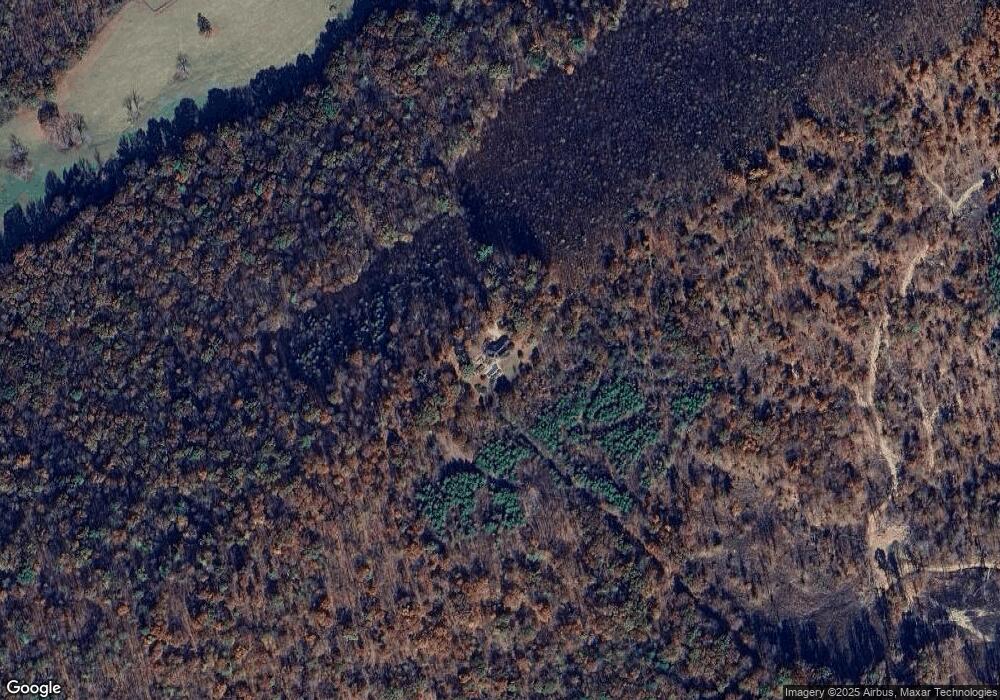
Map
Nearby Homes
- 2.02 Acres Smokey Row Rd
- 0 Saddle Ridge Rd Unit 11 Reid Rd
- Lot 7 - Ridgeline Way
- TBD Mount Atlas Rd
- Way
- 50 Lock Raven Ln
- TBD Reid Rd
- 4.12 Ac. Boundary Line Ln
- .45 acres Boundary Line Ln
- 3111 N Lee Hwy
- 370 Old Chapel Rd
- 599 Lindsay Ln
- 425 Brownsburg Turnpike
- 000 N Lee Hwy Unit 11
- TBD Park Place
- 0 Park Place
- 2068 N Lee Hwy
- 11 Southfork Ln
- 151 Acres Sunnybrook Rd
- 145 Slat Mill Ln
- 887 Reid Rd
- 728 Smokey Row Rd
- 931 Reid Rd
- 791 Reid Rd
- 150 Ridgeline Way
- 566 Smokey Row Rd
- 230 Ridgeline Way
- 32 Caboose Ln
- 1125 Reid Rd
- 662 Smokey Row Rd
- 56 Caboose Ln
- 5 Caboose Ln
- 225 Ridgeline Way
- 770 Smokey Row Rd
- 675 Reid Rd
- 1191 Reid Rd
- 00 Smokey Row Rd
- TBD lot 3 Smokey Row Rd
- 741 Smokey Row Rd
- 842 Reid Rd