887 Robinhood Ave Painesville, OH 44077
Estimated Value: $179,000 - $229,000
3
Beds
2
Baths
1,113
Sq Ft
$177/Sq Ft
Est. Value
About This Home
This home is located at 887 Robinhood Ave, Painesville, OH 44077 and is currently estimated at $196,470, approximately $176 per square foot. 887 Robinhood Ave is a home located in Lake County with nearby schools including Henry F. Lamuth Middle School, Riverside Junior/Senior High School, and Summit Academy Community School - Painesville.
Ownership History
Date
Name
Owned For
Owner Type
Purchase Details
Closed on
Apr 6, 2010
Sold by
Habitat For Humanity Of Lake County Inc
Bought by
Lane Mary
Current Estimated Value
Home Financials for this Owner
Home Financials are based on the most recent Mortgage that was taken out on this home.
Original Mortgage
$120,000
Outstanding Balance
$80,319
Interest Rate
5.1%
Mortgage Type
Seller Take Back
Estimated Equity
$116,151
Purchase Details
Closed on
Oct 30, 2008
Sold by
Stoneman William
Bought by
Habitat For Humanity Of Lake County Inc
Purchase Details
Closed on
Aug 29, 2007
Sold by
Johr Home Design Inc and Tomsich Robert
Bought by
Stoneman William
Purchase Details
Closed on
Apr 17, 2006
Sold by
Lawson Edward B
Bought by
Johr Home Design Inc
Purchase Details
Closed on
Jun 27, 1994
Sold by
Lawson James H
Bought by
Lawson Edward B
Create a Home Valuation Report for This Property
The Home Valuation Report is an in-depth analysis detailing your home's value as well as a comparison with similar homes in the area
Home Values in the Area
Average Home Value in this Area
Purchase History
| Date | Buyer | Sale Price | Title Company |
|---|---|---|---|
| Lane Mary | $120,000 | Attorney | |
| Habitat For Humanity Of Lake County Inc | $12,900 | Chicago Title Insurance Co | |
| Stoneman William | -- | Insured Title | |
| Johr Home Design Inc | $11,000 | Insured Title | |
| Lawson Edward B | $66,000 | -- |
Source: Public Records
Mortgage History
| Date | Status | Borrower | Loan Amount |
|---|---|---|---|
| Open | Lane Mary | $120,000 |
Source: Public Records
Tax History Compared to Growth
Tax History
| Year | Tax Paid | Tax Assessment Tax Assessment Total Assessment is a certain percentage of the fair market value that is determined by local assessors to be the total taxable value of land and additions on the property. | Land | Improvement |
|---|---|---|---|---|
| 2024 | -- | $63,610 | $5,540 | $58,070 |
| 2023 | $4,628 | $42,470 | $4,450 | $38,020 |
| 2022 | $2,917 | $42,470 | $4,450 | $38,020 |
| 2021 | $3,076 | $42,470 | $4,450 | $38,020 |
| 2020 | $2,770 | $36,920 | $3,860 | $33,060 |
| 2019 | $2,778 | $36,920 | $3,860 | $33,060 |
| 2018 | $2,768 | $33,530 | $3,090 | $30,440 |
| 2017 | $2,619 | $33,530 | $3,090 | $30,440 |
| 2016 | $2,255 | $33,530 | $3,090 | $30,440 |
| 2015 | $1,919 | $33,530 | $3,090 | $30,440 |
| 2014 | $1,951 | $33,530 | $3,090 | $30,440 |
| 2013 | $1,906 | $33,530 | $3,090 | $30,440 |
Source: Public Records
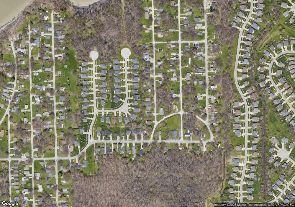
Map
Nearby Homes
- 961 Beachfront Dr
- 960 Robinhood Ave
- 988 Oakwood Blvd
- 124 Kenilworth Ave
- 1006 Robinhood Ave
- 0 Bellevue Ave Unit 5152736
- 125 Sycamore Dr
- 0 Fremont Ave Unit 5152717
- 856 Beech Ave
- 1679 Duffton Ln
- 1719 Duffton Ln
- 751 Bacon Rd
- 1806 Muirfield Ln
- 1791 Muirfield Ln
- 547 Greenside Dr
- 1865 Marsh Ln Unit 1865
- 1978 Marsh Ln Unit 1978
- 499 Sand Trap Cir
- 720 N Creek Dr
- 1598 Bogie Ln
- 897 Robinhood Ave
- 883 Robinhood Ave
- 899 Robinhood Ave
- 938 Beachfront Dr
- 932 Beachfront Dr
- 942 Beachfront Dr
- 880 Robinhood Ave
- 15 Rainbow Dr
- 21 Rainbow Dr
- 946 Beachfront Dr
- 928 Beachfront Dr
- 907 Robinhood Dr
- 907 Robinhood Ave
- 7 Rainbow Dr
- 952 Beachfront Dr
- 39 Rainbow Dr
- 908 Robinhood Ave
- SL 31 Midway Blvd
- 25 Rainbow Dr
- 926 Beachfront Dr