Estimated Value: $257,000 - $401,785
3
Beds
1
Bath
2,368
Sq Ft
$141/Sq Ft
Est. Value
About This Home
This home is located at 887 S Main St, Nixa, MO 65714 and is currently estimated at $332,928, approximately $140 per square foot. 887 S Main St is a home with nearby schools including Deauville Gardens Elementary School, Hugh W. Gregg Elementary School, and Century Elementary School.
Ownership History
Date
Name
Owned For
Owner Type
Purchase Details
Closed on
May 26, 2020
Sold by
Glenn Robert Freeman and Glenn Joey Earl
Bought by
Brown Corey and Brown Kathryn
Current Estimated Value
Home Financials for this Owner
Home Financials are based on the most recent Mortgage that was taken out on this home.
Original Mortgage
$240,000
Outstanding Balance
$213,138
Interest Rate
3.3%
Mortgage Type
New Conventional
Estimated Equity
$119,790
Purchase Details
Closed on
Aug 1, 2012
Sold by
Glenn Villa Ann and Glenn Villa Ann
Bought by
Glenn Villa Ann and Villa Ann Glenn Revocable Trust
Create a Home Valuation Report for This Property
The Home Valuation Report is an in-depth analysis detailing your home's value as well as a comparison with similar homes in the area
Home Values in the Area
Average Home Value in this Area
Purchase History
| Date | Buyer | Sale Price | Title Company |
|---|---|---|---|
| Brown Corey | -- | Legal Land Title | |
| Glenn Villa Ann | -- | None Available |
Source: Public Records
Mortgage History
| Date | Status | Borrower | Loan Amount |
|---|---|---|---|
| Open | Brown Corey | $240,000 |
Source: Public Records
Tax History Compared to Growth
Tax History
| Year | Tax Paid | Tax Assessment Tax Assessment Total Assessment is a certain percentage of the fair market value that is determined by local assessors to be the total taxable value of land and additions on the property. | Land | Improvement |
|---|---|---|---|---|
| 2024 | $1,439 | $24,250 | -- | -- |
| 2023 | $1,439 | $24,250 | $0 | $0 |
| 2022 | $1,328 | $22,350 | $0 | $0 |
| 2021 | $1,329 | $22,350 | $0 | $0 |
| 2020 | $1,268 | $20,390 | $0 | $0 |
| 2019 | $1,268 | $20,390 | $0 | $0 |
| 2018 | $1,175 | $20,390 | $0 | $0 |
| 2017 | $1,175 | $20,390 | $0 | $0 |
| 2016 | $1,156 | $20,390 | $0 | $0 |
| 2015 | $1,157 | $20,390 | $20,390 | $0 |
| 2014 | $1,108 | $20,030 | $0 | $0 |
| 2013 | $11 | $20,030 | $0 | $0 |
| 2011 | $11 | $40,060 | $0 | $0 |
Source: Public Records
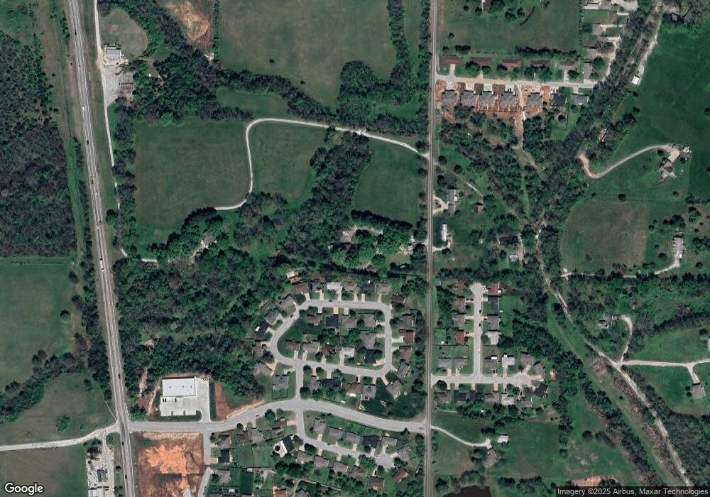
Map
Nearby Homes
- 209 Shady Acres Cir
- 111 Daleview Cir
- 287 Sunrise Dr
- 000 Old Riverdale Rd
- 000 Citydel Rd W
- 000 Croley Blvd Unit Lots 12,13, 14
- 138 W Silver Oak St
- 621 W Arbor Glenn Dr
- 643 W Brook Hollow Rd
- 609 W Arbor Glenn Dr
- 653 W Brook Hollow Rd
- 656 W Castor Loop
- 662 W Castor Loop
- 945 S Ozark Rd
- 843 S Black Sands Ave Unit Lot 115
- 845 S Black Sands
- 955 S Silverwood Ln
- 915 S Silverwood Ln
- 911 S Silverwood Ln
- 919 S Silverwood Ln
- 216 Shady Acres Cir
- 218 Shady Acres Cir
- 214 Shady Acres Cir
- 212 Shady Acres Cir
- 220 Shady Acres Cir
- 222 Shady Acres Cir
- 210 Shady Acres Cir
- 215 Shady Acres Cir
- 219 Shady Acres Cir
- 223 Shady Acres Cir
- 224 Shady Acres Cir
- 208 Shady Acres Cir
- 205 Shady Acres Cir
- 888 S Main St
- 197 Shady Acres Cir
- 206 Shady Acres Cir
- 193 Shady Acres Cir
- 191 Shady Acres Cir
- 876 S Main St
- 204 Shady Acres Cir