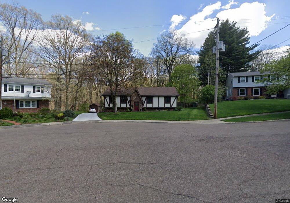
887 Shullo Dr Akron, OH 44313
Northwest Akron NeighborhoodEstimated Value: $236,000 - $300,000
3
Beds
2
Baths
1,836
Sq Ft
$152/Sq Ft
Est. Value
About This Home
This home is located at 887 Shullo Dr, Akron, OH 44313 and is currently estimated at $278,988, approximately $151 per square foot. 887 Shullo Dr is a home located in Summit County with nearby schools including Case Community Learning Center, Summit Academy School, and Our Lady Of The Elms Elementary School.
Ownership History
Date
Name
Owned For
Owner Type
Purchase Details
Closed on
Jan 29, 2020
Sold by
Cook Charles L and Cook Altona P
Bought by
Davello Joseph J and Davello Lori J
Current Estimated Value
Home Financials for this Owner
Home Financials are based on the most recent Mortgage that was taken out on this home.
Original Mortgage
$128,000
Interest Rate
3.7%
Mortgage Type
New Conventional
Create a Home Valuation Report for This Property
The Home Valuation Report is an in-depth analysis detailing your home's value as well as a comparison with similar homes in the area
Home Values in the Area
Average Home Value in this Area
Purchase History
| Date | Buyer | Sale Price | Title Company |
|---|---|---|---|
| Davello Joseph J | $160,000 | None Available |
Source: Public Records
Mortgage History
| Date | Status | Borrower | Loan Amount |
|---|---|---|---|
| Closed | Davello Joseph J | $128,000 |
Source: Public Records
Tax History Compared to Growth
Tax History
| Year | Tax Paid | Tax Assessment Tax Assessment Total Assessment is a certain percentage of the fair market value that is determined by local assessors to be the total taxable value of land and additions on the property. | Land | Improvement |
|---|---|---|---|---|
| 2025 | $4,402 | $82,082 | $18,655 | $63,427 |
| 2024 | $4,402 | $82,082 | $18,655 | $63,427 |
| 2023 | $4,402 | $82,082 | $18,655 | $63,427 |
| 2022 | $4,137 | $60,460 | $13,717 | $46,743 |
| 2021 | $4,141 | $60,460 | $13,717 | $46,743 |
| 2020 | $3,441 | $59,250 | $13,720 | $45,530 |
| 2019 | $3,125 | $51,380 | $10,640 | $40,740 |
| 2018 | $3,083 | $51,380 | $10,640 | $40,740 |
| 2017 | $2,816 | $51,380 | $10,640 | $40,740 |
| 2016 | $2,818 | $46,910 | $10,640 | $36,270 |
| 2015 | $2,816 | $46,910 | $10,640 | $36,270 |
| 2014 | $2,794 | $46,910 | $10,640 | $36,270 |
| 2013 | $2,757 | $47,200 | $10,640 | $36,560 |
Source: Public Records
Map
Nearby Homes
- 1085 Winhurst Dr
- 1041 Winhurst Dr
- 1036 Winhurst Dr
- 1057 N Portage Path
- 1047 Terrell Dr
- 746 Newcastle Dr
- 834 Eaton Park Ln
- 1029 Karen Dr
- 1058 Middlecoff Dr
- 1087 Ellsworth Dr
- 1159 Garman Rd
- 1056 Garman Rd
- 1047 Kevin Dr
- 1057 Kevin Dr
- 423 Foursome Ave
- 889 Eaton Ave
- 431 Molane Ave
- 637 Treeside Dr
- 590 N Hawkins Ave
- 607 Treeside Dr