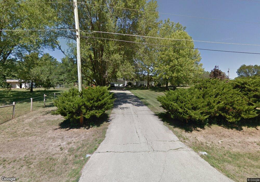
8874 Porter Oaks(4 80 A Roscoe, IL 61073
Estimated Value: $285,505 - $383,000
5
Beds
2
Baths
1,188
Sq Ft
$278/Sq Ft
Est. Value
About This Home
This home is located at 8874 Porter Oaks(4 80 A, Roscoe, IL 61073 and is currently estimated at $330,126, approximately $277 per square foot. 8874 Porter Oaks(4 80 A is a home located in Winnebago County with nearby schools including Ledgewood Elementary School, Stone Creek School, and Kinnikinnick School.
Ownership History
Date
Name
Owned For
Owner Type
Purchase Details
Closed on
Apr 26, 2024
Sold by
Jentz Paul C and Jentz Sheree L
Bought by
Paul C Jentz Revocable Trust and Sheree L Jentz Revocable Trust
Current Estimated Value
Purchase Details
Closed on
Oct 17, 2022
Sold by
Jentz Paul
Bought by
Jentz Paul and Jentz Sheree
Purchase Details
Closed on
Apr 24, 2015
Sold by
Maher Michael W
Bought by
Jentz Paul
Home Financials for this Owner
Home Financials are based on the most recent Mortgage that was taken out on this home.
Original Mortgage
$171,830
Interest Rate
3.68%
Mortgage Type
FHA
Purchase Details
Closed on
Jun 17, 2005
Bought by
Maher Michael
Create a Home Valuation Report for This Property
The Home Valuation Report is an in-depth analysis detailing your home's value as well as a comparison with similar homes in the area
Home Values in the Area
Average Home Value in this Area
Purchase History
| Date | Buyer | Sale Price | Title Company |
|---|---|---|---|
| Paul C Jentz Revocable Trust | -- | None Listed On Document | |
| Jentz Paul | -- | Title365 | |
| Jentz Paul | $175,000 | Attorney Only | |
| Maher Michael | $253,000 | -- |
Source: Public Records
Mortgage History
| Date | Status | Borrower | Loan Amount |
|---|---|---|---|
| Previous Owner | Jentz Paul | $171,830 |
Source: Public Records
Tax History Compared to Growth
Tax History
| Year | Tax Paid | Tax Assessment Tax Assessment Total Assessment is a certain percentage of the fair market value that is determined by local assessors to be the total taxable value of land and additions on the property. | Land | Improvement |
|---|---|---|---|---|
| 2024 | $5,225 | $69,354 | $22,098 | $47,256 |
| 2023 | $4,835 | $62,240 | $19,831 | $42,409 |
| 2022 | $4,592 | $56,898 | $18,129 | $38,769 |
| 2021 | $4,374 | $53,451 | $17,031 | $36,420 |
| 2020 | $4,284 | $51,509 | $16,412 | $35,097 |
| 2019 | $4,159 | $49,202 | $15,677 | $33,525 |
| 2018 | $3,903 | $47,278 | $15,064 | $32,214 |
| 2017 | $4,017 | $45,600 | $14,529 | $31,071 |
| 2016 | $3,850 | $44,869 | $14,296 | $30,573 |
| 2015 | $3,681 | $43,588 | $13,888 | $29,700 |
| 2014 | -- | $53,193 | $13,712 | $39,481 |
Source: Public Records
Map
Nearby Homes
- 10620 Grover Oaks Rd
- Lot 1 & 2 Lovesee Rd
- 10912 Necedah Ct
- 11371 Havenswood Rd
- 10472 Atwood Rd
- 7822 Burr Oak Rd
- 0 Atwood Rd Unit 22063958
- 0 Atwood Rd Unit MRD12204329
- 0 Atwood Rd Unit 202406609
- 10282 Ray Dr
- 10401 Ray Dr
- 8383 E Crockett Rd
- 8306 E Crockett Rd
- 9430 Reserve Dr
- 8556 Carberry Ln
- 7344 Amorin Ct
- 12431 Breezefield Cir
- 12486 Whispering Winds Dr
- 12375 Legend Lakes Dr
- 11752 Love Rd
- 8874 Porter Oaks Dr
- 10718 Grover Oaks Rd
- 8816 Porter Oaks Dr
- 8821 Porter Oaks Dr
- 8927 Porter Oaks Dr
- 10721 Grover Oaks Rd
- 0000 Grover Oaks Rd
- 8802 Porter Oaks Dr
- 10649 Grover Oaks Rd
- 8871 N Creek Rd
- 10619 Grover Oaks Rd
- 10650 Grover Oaks Rd
- 10595 Grover Oaks Rd
- 8772 Porter Oaks Dr
- 10565 Grover Oaks Rd
- 10594 Grover Oaks Rd
- 101 North Creek Rd
- 19 Porter Oaks Dr
- 10564 Grover Oaks Rd
- 10525 Grover Oaks Rd