8875 Herold Hwy Addison, MI 49220
Estimated Value: $154,000 - $248,000
3
Beds
2
Baths
1,336
Sq Ft
$148/Sq Ft
Est. Value
About This Home
This home is located at 8875 Herold Hwy, Addison, MI 49220 and is currently estimated at $198,256, approximately $148 per square foot. 8875 Herold Hwy is a home located in Lenawee County with nearby schools including Addison Elementary School, Addison Middle School, and Addison High School.
Ownership History
Date
Name
Owned For
Owner Type
Purchase Details
Closed on
Sep 29, 2010
Sold by
Mckay Lori Christine and Mckay Lori C
Bought by
Mckay James J
Current Estimated Value
Home Financials for this Owner
Home Financials are based on the most recent Mortgage that was taken out on this home.
Original Mortgage
$60,000
Outstanding Balance
$450
Interest Rate
4.26%
Mortgage Type
New Conventional
Estimated Equity
$197,806
Purchase Details
Closed on
Dec 26, 1997
Bought by
Mckay James J
Create a Home Valuation Report for This Property
The Home Valuation Report is an in-depth analysis detailing your home's value as well as a comparison with similar homes in the area
Purchase History
| Date | Buyer | Sale Price | Title Company |
|---|---|---|---|
| Mckay James J | -- | Liberty Title | |
| Mckay James J | $27,000 | -- |
Source: Public Records
Mortgage History
| Date | Status | Borrower | Loan Amount |
|---|---|---|---|
| Open | Mckay James J | $60,000 |
Source: Public Records
Tax History
| Year | Tax Paid | Tax Assessment Tax Assessment Total Assessment is a certain percentage of the fair market value that is determined by local assessors to be the total taxable value of land and additions on the property. | Land | Improvement |
|---|---|---|---|---|
| 2025 | $719 | $67,800 | $0 | $0 |
| 2024 | $3 | $64,100 | $0 | $0 |
| 2023 | -- | $55,600 | $0 | $0 |
| 2022 | $659 | $49,000 | $0 | $0 |
| 2021 | $643 | $45,500 | $0 | $0 |
| 2020 | $638 | $35,300 | $0 | $0 |
| 2019 | $70,767 | $35,300 | $0 | $0 |
| 2018 | $619 | $37,288 | $0 | $0 |
| 2017 | $603 | $37,523 | $0 | $0 |
| 2016 | $608 | $36,965 | $0 | $0 |
| 2014 | -- | $74,902 | $0 | $0 |
Source: Public Records
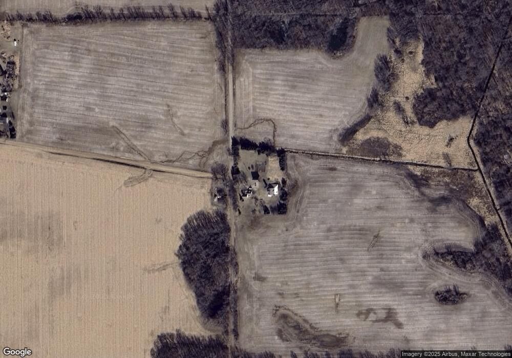
Map
Nearby Homes
- 17475 U S 223
- 12677 U S 223
- 16001 Addison Rd
- 201 S Talbot St
- 10911 Devils Lake Hwy
- 135 S Steer St
- 6820 Devils Lake Hwy
- 8000 Parkhurst Hwy Unit Carroll Dr ((1175)
- 7841 Devils Lake Hwy
- 6482 Sorby Hwy
- 9265 Devils Lake Hwy
- 8164 Clarks Cove
- 5935 Tower Dr
- 10902 Devils Lake Hwy
- 186 Harris Dr
- 8676 Cherry Point Dr
- VL Manitou Beach Road Proposed
- 0
- 4276 Echo Cove
- 0 Manitou Beach Rd Lot B
- 8869 Herold Hwy
- 17750 Pine Rd
- 17881 Pine Rd
- 9226 Herold Hwy
- 9000 Herold Hwy Unit BLK
- 9000 Herold Hwy Unit BLK
- 9000 Herold Hwy Unit BLK
- 9000 Herold Hwy Unit BLK
- 9000 Herold Hwy Unit BLK
- 9000 Herold Hwy Unit BLK
- 9000 Block (W) Herold Hwy
- 9000 Herold Hwy
- 8445 Herold Hwy
- 9217 Herold Hwy
- 9225 Herold Hwy
- 9227 Herold Hwy
- 8311 Herold Hwy
- 18153 Pine Rd
- 17000 Greenleaf Rd Unit BLK
- 9480 Herold Hwy
Your Personal Tour Guide
Ask me questions while you tour the home.