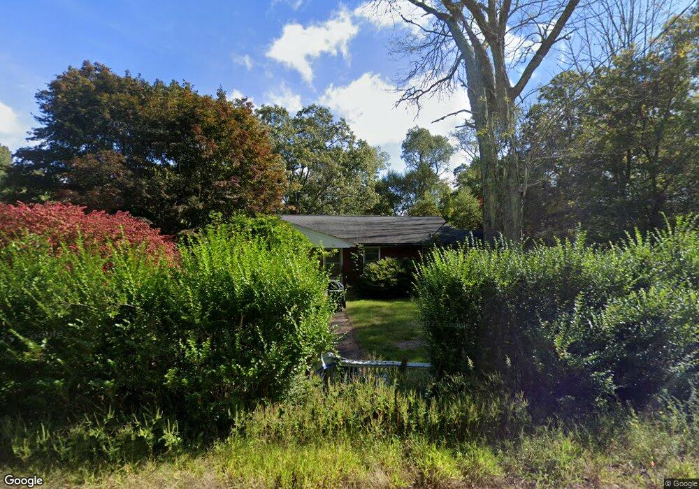
888 Colonel Ledyard Hwy Ledyard, CT 06339
Estimated Value: $342,000 - $384,000
3
Beds
2
Baths
1,099
Sq Ft
$326/Sq Ft
Est. Value
About This Home
This home is located at 888 Colonel Ledyard Hwy, Ledyard, CT 06339 and is currently estimated at $358,318, approximately $326 per square foot. 888 Colonel Ledyard Hwy is a home located in New London County with nearby schools including Ledyard Middle School and Ledyard High School.
Ownership History
Date
Name
Owned For
Owner Type
Purchase Details
Closed on
Mar 19, 1993
Sold by
Breault Sophie
Bought by
Covino Anthony and Covino Bette
Current Estimated Value
Home Financials for this Owner
Home Financials are based on the most recent Mortgage that was taken out on this home.
Original Mortgage
$72,000
Interest Rate
5.99%
Mortgage Type
Purchase Money Mortgage
Create a Home Valuation Report for This Property
The Home Valuation Report is an in-depth analysis detailing your home's value as well as a comparison with similar homes in the area
Home Values in the Area
Average Home Value in this Area
Purchase History
| Date | Buyer | Sale Price | Title Company |
|---|---|---|---|
| Covino Anthony | $90,000 | -- |
Source: Public Records
Mortgage History
| Date | Status | Borrower | Loan Amount |
|---|---|---|---|
| Closed | Covino Anthony | $68,000 | |
| Closed | Covino Anthony | $72,000 |
Source: Public Records
Tax History Compared to Growth
Tax History
| Year | Tax Paid | Tax Assessment Tax Assessment Total Assessment is a certain percentage of the fair market value that is determined by local assessors to be the total taxable value of land and additions on the property. | Land | Improvement |
|---|---|---|---|---|
| 2025 | $4,482 | $120,680 | $42,560 | $78,120 |
| 2024 | $4,224 | $119,980 | $42,560 | $77,420 |
| 2023 | $4,147 | $119,980 | $42,560 | $77,420 |
| 2022 | $4,058 | $119,980 | $42,560 | $77,420 |
| 2021 | $4,031 | $119,980 | $42,560 | $77,420 |
| 2020 | $3,706 | $105,980 | $40,460 | $65,520 |
| 2019 | $3,716 | $105,980 | $40,460 | $65,520 |
| 2018 | $3,634 | $105,980 | $40,460 | $65,520 |
| 2017 | $3,449 | $105,980 | $40,460 | $65,520 |
| 2016 | $3,381 | $105,980 | $40,460 | $65,520 |
| 2015 | $3,222 | $105,980 | $40,460 | $65,520 |
| 2014 | $3,458 | $115,640 | $42,560 | $73,080 |
Source: Public Records
Map
Nearby Homes
- 890 Colonel Ledyard Hwy
- 894R Colonel Ledyard Hwy
- 886 Colonel Ledyard Hwy
- 892 Colonel Ledyard Hwy
- 885a Colonel Ledyard Hwy
- 898 Colonel Ledyard Hwy
- 893 Colonel Ledyard Hwy
- 883 Colonel Ledyard Hwy
- 885 Colonel Ledyard Hwy
- 897 Colonel Ledyard Hwy
- 5 Spicer Hill Rd
- 899 Colonel Ledyard Hwy
- 873 Colonel Ledyard Hwy
- 10 Hill St
- 903 Colonel Ledyard Hwy
- 905 Colonel Ledyard Hwy
- 894 Colonel Ledyard Hwy
- 909 Colonel Ledyard Hwy
- 913 Colonel Ledyard Hwy
- 915 Colonel Ledyard Hwy