888 Laurel Branch Rd Unit Tr1 Hayesville, NC 28904
Estimated Value: $380,000 - $621,000
4
Beds
4
Baths
2,343
Sq Ft
$214/Sq Ft
Est. Value
About This Home
This home is located at 888 Laurel Branch Rd Unit Tr1, Hayesville, NC 28904 and is currently estimated at $501,519, approximately $214 per square foot. 888 Laurel Branch Rd Unit Tr1 is a home located in Clay County with nearby schools including Hayesville Elementary School, Hayesville Middle School, and Hayesville High School.
Ownership History
Date
Name
Owned For
Owner Type
Purchase Details
Closed on
Jul 18, 2012
Sold by
Federal Home Loan Mortgage Corporation
Bought by
Nicholson Adam
Current Estimated Value
Purchase Details
Closed on
Feb 24, 2012
Sold by
Tamayo Sharon L
Bought by
Federal Home Loan Mortgage Corporation
Create a Home Valuation Report for This Property
The Home Valuation Report is an in-depth analysis detailing your home's value as well as a comparison with similar homes in the area
Home Values in the Area
Average Home Value in this Area
Purchase History
| Date | Buyer | Sale Price | Title Company |
|---|---|---|---|
| Nicholson Adam | -- | None Available | |
| Federal Home Loan Mortgage Corporation | -- | None Available |
Source: Public Records
Tax History Compared to Growth
Tax History
| Year | Tax Paid | Tax Assessment Tax Assessment Total Assessment is a certain percentage of the fair market value that is determined by local assessors to be the total taxable value of land and additions on the property. | Land | Improvement |
|---|---|---|---|---|
| 2025 | $1,134 | $220,000 | $41,800 | $178,200 |
| 2024 | $1,134 | $220,000 | $41,800 | $178,200 |
| 2023 | $1,034 | $220,000 | $41,800 | $178,200 |
| 2022 | $1,034 | $220,000 | $41,800 | $178,200 |
| 2021 | $1,034 | $220,000 | $41,800 | $178,200 |
| 2020 | $1,034 | $220,000 | $41,800 | $178,200 |
| 2019 | $1,034 | $220,000 | $41,800 | $178,200 |
| 2018 | $1,034 | $220,000 | $41,800 | $178,200 |
| 2016 | -- | $239,804 | $60,929 | $178,875 |
| 2015 | -- | $239,804 | $60,929 | $178,875 |
| 2014 | -- | $239,804 | $60,929 | $178,875 |
Source: Public Records
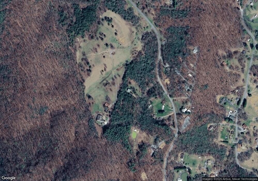
Map
Nearby Homes
- 966 Laurel Branch Rd
- 1017 Laurel Branch Rd
- 630 Hot House Rd
- 312 Penland Indian Trail
- 125 Jess Hooper Dr
- 122 Penland Indian Trail
- 1306 Hot House Rd
- 00 Cliffside Dr Unit LotWP002
- 0 Tbd Cliffside Dr
- 00 Cliffside Dr
- 472 Hogsed Dr
- TR 2 & 3 Ash Rd
- 30 Berrong Dr
- 41 Little Brook Terrace
- 398 Hidden Cove Ln
- Lot 137 Shiloh Ridge
- LT 73 Shiloh Ridge
- Lot 139 Shiloh Ridge
- 195 Turkey Cove Dr
- 137 Kilmoore Ln
- 888 Laurel Branch Rd
- 888 Laurel Branch
- 922 Laurel Branch Rd
- 768 Laurel Branch Rd
- 833 Laurel Branch Rd
- 45 Laurel Branch Dr
- 1026 Laurel Branch Rd
- 65 Laurel Branch Dr
- 779 Laurel Branch Rd
- 44 Laurel Branch Dr
- 65 Laurel Branch Rd
- 1022 Laurel Branch Rd
- 75 Laurel Branch Dr Unit 6
- 75 Laurel Branch Dr
- 89 Laurel Branch Dr
- 1.8 ACRE Laurel Branch Dr Unit 1.8 AC
- 0 Laurel Branch Dr Unit 291495
- 119 Laurel Branch Dr
- 999999 Laurel Branch Rd
- 0 Laurel Branch Rd Unit 312318