Estimated Value: $261,616 - $280,000
--
Bed
2
Baths
1,769
Sq Ft
$153/Sq Ft
Est. Value
About This Home
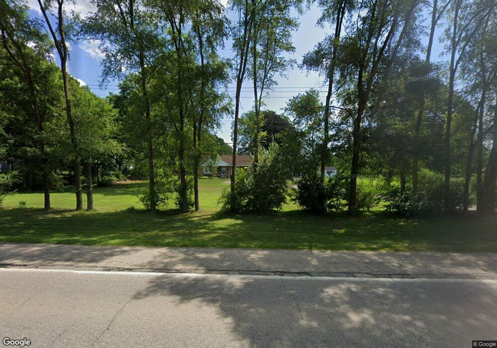
This home is located at 888 N State Rd, Ionia, MI 48846 and is currently estimated at $270,154, approximately $152 per square foot. 888 N State Rd is a home located in Ionia County with nearby schools including North LeValley Elementary School, Saints Peter and Paul Catholic School, and Ionia Seventh Day Adventist Elementary School.
Ownership History
Date
Name
Owned For
Owner Type
Purchase Details
Closed on
Dec 18, 2014
Sold by
Spence Todd
Bought by
Spence Todd and Doolittle Christine
Current Estimated Value
Purchase Details
Closed on
Jun 11, 2014
Sold by
Piggott Maureen E and Almy Monica J
Bought by
Spence Todd
Home Financials for this Owner
Home Financials are based on the most recent Mortgage that was taken out on this home.
Original Mortgage
$105,061
Outstanding Balance
$79,214
Interest Rate
3.97%
Mortgage Type
FHA
Estimated Equity
$190,940
Create a Home Valuation Report for This Property
The Home Valuation Report is an in-depth analysis detailing your home's value as well as a comparison with similar homes in the area
Home Values in the Area
Average Home Value in this Area
Purchase History
| Date | Buyer | Sale Price | Title Company |
|---|---|---|---|
| Spence Todd | -- | None Available | |
| Spence Todd | $107,000 | Sun Title Agency Of Michigan |
Source: Public Records
Mortgage History
| Date | Status | Borrower | Loan Amount |
|---|---|---|---|
| Open | Spence Todd | $105,061 |
Source: Public Records
Tax History Compared to Growth
Tax History
| Year | Tax Paid | Tax Assessment Tax Assessment Total Assessment is a certain percentage of the fair market value that is determined by local assessors to be the total taxable value of land and additions on the property. | Land | Improvement |
|---|---|---|---|---|
| 2025 | $1,582 | $92,100 | $12,200 | $79,900 |
| 2024 | $841 | $92,100 | $12,200 | $79,900 |
| 2023 | $803 | $81,000 | $13,800 | $67,200 |
| 2022 | $764 | $81,000 | $13,800 | $67,200 |
| 2021 | $1,400 | $70,300 | $12,900 | $57,400 |
| 2020 | $734 | $70,300 | $12,900 | $57,400 |
| 2019 | $722 | $69,300 | $11,800 | $57,500 |
| 2018 | $1,329 | $69,700 | $11,800 | $57,900 |
| 2017 | $728 | $69,700 | $11,800 | $57,900 |
| 2016 | $722 | $67,000 | $10,500 | $56,500 |
| 2015 | -- | $67,000 | $10,500 | $56,500 |
| 2014 | $789 | $69,300 | $10,500 | $58,800 |
Source: Public Records
Map
Nearby Homes
- 710 Elmwood Dr
- 1193 N State Rd
- 721 Chapman St
- 407 Forest St
- 556 Price St
- 84 Dildine Rd
- 428 W Lincoln Ave
- 200 W Lincoln Ave
- 442 Baldie St
- 118 Tower St
- 916 Yeomans St
- 217 Dye St
- 1894 N State Rd
- 237 E Lincoln Ave
- 526 N Jackson St
- 418 Jones St
- 514 N Jefferson St
- 615 & 625 E Lincoln Ave
- 947 W Main St
- 1133 Yeomans St Unit 99
- 912 N State Rd
- 862 N State Rd
- 357 N State Rd
- 1020 N State Rd
- 0 N State Rd
- 18771875 N State Rd
- 850 N State Rd
- 940 N State Rd
- 980 N State Rd
- 957 N State Rd
- 817 N State Rd
- 973 Red Pine Dr
- 1021 N State Rd
- 791 N State St
- 79 Butterfly Ct Unit 3
- 792 N State St
- 37 W North St
- 780 N State St
- 780 N State St
- 55 W North St