888 White Graves Rd NE Ranger, GA 30734
Estimated Value: $1,015,000 - $1,105,625
3
Beds
2
Baths
2,721
Sq Ft
$390/Sq Ft
Est. Value
About This Home
This home is located at 888 White Graves Rd NE, Ranger, GA 30734 and is currently estimated at $1,060,313, approximately $389 per square foot. 888 White Graves Rd NE is a home located in Gordon County with nearby schools including Fairmount Elementary School, Red Bud Middle School, and Sonoraville High School.
Ownership History
Date
Name
Owned For
Owner Type
Purchase Details
Closed on
Dec 5, 2017
Sold by
Swancy James C
Bought by
Riverview Farms Llc
Current Estimated Value
Home Financials for this Owner
Home Financials are based on the most recent Mortgage that was taken out on this home.
Original Mortgage
$1,205,320
Interest Rate
3.9%
Mortgage Type
New Conventional
Purchase Details
Closed on
Mar 21, 1985
Bought by
Swancy James C and Swancy Beverly V
Create a Home Valuation Report for This Property
The Home Valuation Report is an in-depth analysis detailing your home's value as well as a comparison with similar homes in the area
Home Values in the Area
Average Home Value in this Area
Purchase History
| Date | Buyer | Sale Price | Title Company |
|---|---|---|---|
| Riverview Farms Llc | -- | -- | |
| Swancy James C | -- | -- |
Source: Public Records
Mortgage History
| Date | Status | Borrower | Loan Amount |
|---|---|---|---|
| Closed | Riverview Farms Llc | $1,205,320 |
Source: Public Records
Tax History Compared to Growth
Tax History
| Year | Tax Paid | Tax Assessment Tax Assessment Total Assessment is a certain percentage of the fair market value that is determined by local assessors to be the total taxable value of land and additions on the property. | Land | Improvement |
|---|---|---|---|---|
| 2024 | $2,916 | $334,000 | $241,600 | $92,400 |
| 2023 | $2,736 | $329,440 | $241,600 | $87,840 |
| 2022 | $2,503 | $325,640 | $247,680 | $77,960 |
| 2021 | $2,106 | $311,680 | $247,680 | $64,000 |
| 2020 | $2,059 | $311,080 | $247,680 | $63,400 |
| 2019 | $3,156 | $311,080 | $247,680 | $63,400 |
| 2018 | $3,026 | $308,680 | $247,680 | $61,000 |
| 2017 | $3,094 | $310,160 | $247,680 | $62,480 |
| 2016 | $3,042 | $310,160 | $247,680 | $62,480 |
| 2015 | $3,687 | $309,960 | $248,480 | $61,480 |
| 2014 | $3,416 | $309,153 | $248,487 | $60,666 |
Source: Public Records
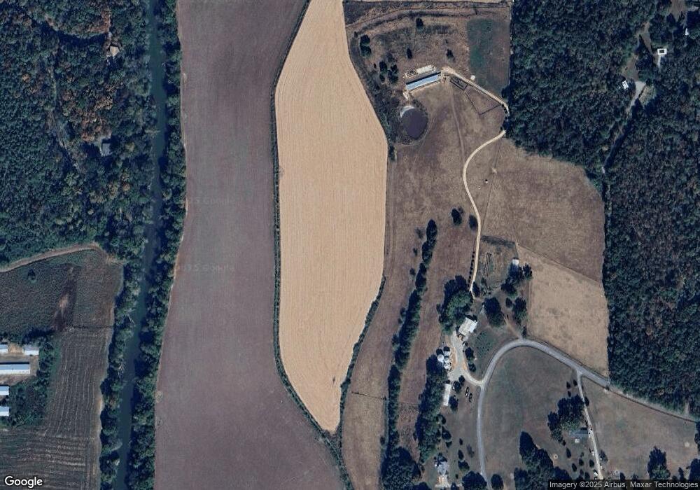
Map
Nearby Homes
- 580 White Graves Rd NE
- 00 White Graves Rd
- 455 Poarch Farm Rd NE
- 0 Muscadine Ln Unit 10532250
- 0 Muscadine Ln Unit 7586694
- 0 Georgia 136
- S Hwy 411
- 00 Conniston Rd
- TR 4 B-2 Conniston Rd
- Tract 2 Conniston Rd
- Tract 1 Conniston Rd
- Tract 92 Conniston Rd
- Tract 3 Conniston Rd
- 0 Conniston Rd Unit 10517157
- 0 Conniston Rd Unit 7575463
- 1213 Carters Rd
- 250 Hook Rd NE
- 1681 Carters Rd Unit 109
- 0 Nicklesville Rd NE Unit 9637 8073887
- 0 Nicklesville Rd NE Unit 25510308
- 0 White Graves Rd NE Unit 76375
- 0 White Graves Rd NE Unit 111759
- 0 White Graves Rd NE Unit 8493368
- 0 White Graves Rd NE Unit 8692700
- 0 White Graves Rd NE Unit 6726330
- 0 White Graves Rd NE Unit 8790135
- 0 White Graves Rd NE Unit 8671867
- 0 White Graves Rd NE Unit 8579203
- 0 White Graves Rd NE
- 1065 White Graves Rd NE
- 652 White Graves Rd NE
- 1118 White Graves Rd NE
- 618 White Graves Rd NE
- 1004 White Graves Rd NE
- 1410 Manley Rd
- 987 White Graves Rd NE
- 1408 Manley Rd
- 1038 White Graves Rd NE
- 1366 Manley Rd
- 1349 Manley Rd