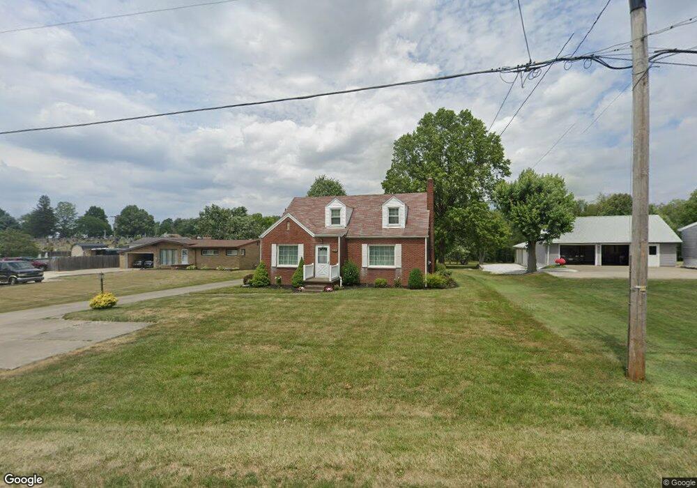
8885 Louisville St Louisville, OH 44641
Estimated Value: $208,000 - $257,000
3
Beds
2
Baths
1,836
Sq Ft
$125/Sq Ft
Est. Value
About This Home
This home is located at 8885 Louisville St, Louisville, OH 44641 and is currently estimated at $230,347, approximately $125 per square foot. 8885 Louisville St is a home located in Stark County with nearby schools including Louisville High School and St. Thomas Aquinas High School & Middle School.
Ownership History
Date
Name
Owned For
Owner Type
Purchase Details
Closed on
Apr 12, 2019
Bought by
Hennis Joseph L Trustee Of The Rob
Current Estimated Value
Purchase Details
Closed on
Mar 31, 2014
Sold by
Hennis Robert J
Bought by
Hennis Robert J and Robert J Hennis Hennis Revocable Trust
Purchase Details
Closed on
Feb 12, 2002
Sold by
Estate Of Marguerite M Hennis
Bought by
Hennis Robert J
Create a Home Valuation Report for This Property
The Home Valuation Report is an in-depth analysis detailing your home's value as well as a comparison with similar homes in the area
Home Values in the Area
Average Home Value in this Area
Purchase History
| Date | Buyer | Sale Price | Title Company |
|---|---|---|---|
| Hennis Joseph L Trustee Of The Rob | -- | -- | |
| Hennis Robert J | -- | None Available | |
| Hennis Robert J | -- | -- |
Source: Public Records
Tax History Compared to Growth
Tax History
| Year | Tax Paid | Tax Assessment Tax Assessment Total Assessment is a certain percentage of the fair market value that is determined by local assessors to be the total taxable value of land and additions on the property. | Land | Improvement |
|---|---|---|---|---|
| 2025 | -- | $67,900 | $13,510 | $54,390 |
| 2024 | -- | $67,900 | $13,510 | $54,390 |
| 2023 | $2,307 | $46,350 | $9,560 | $36,790 |
| 2022 | $2,313 | $46,350 | $9,560 | $36,790 |
| 2021 | $2,320 | $46,350 | $9,560 | $36,790 |
| 2020 | $1,965 | $41,370 | $8,610 | $32,760 |
| 2019 | $1,517 | $41,380 | $8,610 | $32,770 |
| 2018 | $1,512 | $41,380 | $8,610 | $32,770 |
| 2017 | $1,450 | $38,610 | $8,050 | $30,560 |
| 2016 | $1,418 | $38,610 | $8,050 | $30,560 |
| 2015 | $1,422 | $38,610 | $8,050 | $30,560 |
| 2014 | $1,285 | $33,710 | $7,040 | $26,670 |
| 2013 | $646 | $33,710 | $7,040 | $26,670 |
Source: Public Records
Map
Nearby Homes
- 2015 E Main St
- 1812 E Broad St
- 1413 Washington Blvd
- 0 Michigan Blvd
- 2110 Edmar St
- 5495 Meese Rd NE
- 308 Superior St
- 520 S Silver St
- 910 Crosswyck Cir
- 728 E Broad St
- 325 Lincoln Ave
- 8896 Rue Helena St
- 210 E Gorgas St
- 344 E Reno Dr
- 6052 N Nickelplate St
- 3390 Meese Rd NE
- 316 E Reno Dr
- 204 E Broad St
- 107 E Broad St
- 428 Honeycrisp Dr NE
- 8901 Louisville St
- 8871 Louisville St
- 8855 Louisville St
- 8914 Louisville St
- 8933 Louisville St
- 8888 Louisville St
- 4695 Hyland Ave
- 8841 Louisville St
- 8874 Louisville St
- 8949 Louisville St
- 8950 Louisville St
- 4671 Hyland Ave
- 4672 Meese Rd
- 4660 Hyland Ave
- 4776 Meese Rd
- 8812 Louisville St
- 8812 Louisville St NE
- 4814 Meese Rd NE
- 8976 Louisville St
- 4626 Meese Rd