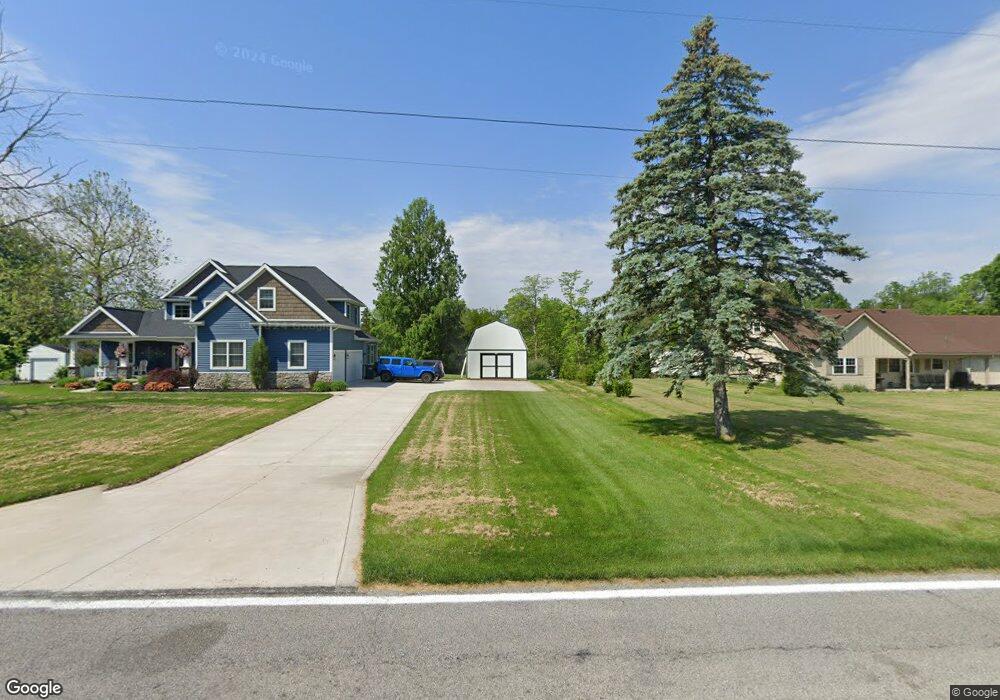
8889 State Route 64 Swanton, OH 43558
Estimated Value: $467,000 - $548,645
4
Beds
4
Baths
2,717
Sq Ft
$184/Sq Ft
Est. Value
About This Home
This home is located at 8889 State Route 64, Swanton, OH 43558 and is currently estimated at $499,161, approximately $183 per square foot. 8889 State Route 64 is a home located in Fulton County with nearby schools including Swanton High School, Swanton Middle School, and St. Richard School.
Ownership History
Date
Name
Owned For
Owner Type
Purchase Details
Closed on
Mar 26, 2004
Sold by
Marok Konomi Gamo and Gamo Konomi
Bought by
Marok Jeffrey S
Current Estimated Value
Purchase Details
Closed on
Jul 23, 1997
Sold by
Neilands Michael
Bought by
Gamo Konomi
Home Financials for this Owner
Home Financials are based on the most recent Mortgage that was taken out on this home.
Original Mortgage
$99,000
Outstanding Balance
$14,036
Interest Rate
7.38%
Mortgage Type
New Conventional
Estimated Equity
$485,125
Purchase Details
Closed on
Jan 1, 1990
Bought by
Neilands Michael W
Create a Home Valuation Report for This Property
The Home Valuation Report is an in-depth analysis detailing your home's value as well as a comparison with similar homes in the area
Home Values in the Area
Average Home Value in this Area
Purchase History
| Date | Buyer | Sale Price | Title Company |
|---|---|---|---|
| Marok Jeffrey S | -- | -- | |
| Gamo Konomi | $169,000 | -- | |
| Neilands Michael W | -- | -- |
Source: Public Records
Mortgage History
| Date | Status | Borrower | Loan Amount |
|---|---|---|---|
| Open | Gamo Konomi | $99,000 |
Source: Public Records
Tax History Compared to Growth
Tax History
| Year | Tax Paid | Tax Assessment Tax Assessment Total Assessment is a certain percentage of the fair market value that is determined by local assessors to be the total taxable value of land and additions on the property. | Land | Improvement |
|---|---|---|---|---|
| 2024 | $6,742 | $172,240 | $8,540 | $163,700 |
| 2023 | $6,742 | $172,240 | $8,540 | $163,700 |
| 2022 | $5,914 | $133,040 | $7,110 | $125,930 |
| 2021 | $6,276 | $133,040 | $7,110 | $125,930 |
| 2020 | $6,038 | $133,040 | $7,110 | $125,930 |
| 2019 | $5,821 | $125,060 | $7,000 | $118,060 |
| 2018 | $2,529 | $55,760 | $7,000 | $48,760 |
| 2017 | $2,490 | $55,760 | $7,000 | $48,760 |
| 2016 | $2,584 | $53,450 | $7,000 | $46,450 |
| 2015 | $2,450 | $53,450 | $7,000 | $46,450 |
| 2014 | $2,482 | $53,450 | $7,000 | $46,450 |
| 2013 | $2,919 | $61,470 | $7,670 | $53,800 |
Source: Public Records
Map
Nearby Homes
- 0 Waterwood Dr
- 229 Woodland Ave
- 502 Brookside Dr
- 227 Kierra Ln
- 103 Cherry St
- 9984 State Route 64
- 407 E Garfield Ave
- 133 Harrison Ave
- 510 S Main St
- 7893 County Road 2
- 225 Kierra Ln
- 13620 Brindley Rd
- 4303 S Berkey Southern Rd
- 13560 Old State Line Rd
- 6854 County Road 3
- 12922 Airport Hwy
- 6330 County Road 4
- 6042 County Road 1-1
- 0000 County Road 4
- 12257 Harriet Rd
- 8917 State Route 64
- 8875 State Route 64
- 8860 State Route 64
- 8934 State Route 64
- 8935 State Route 64
- 8953 State Route 64
- 8900 State Route 64
- 8956 State Route 64
- 8956 Ohio 64
- 8969 State Route 64
- 2033 County Road J
- 2085 County Road J
- 2085 County Road J
- 8804 Ohio 64
- 114 Black Canyon Dr
- 112 Black Canyon Dr
- 110 Black Canyon Dr
- 718 N Main St
- 108 Black Canyon Dr
- 113 Black Canyon Dr