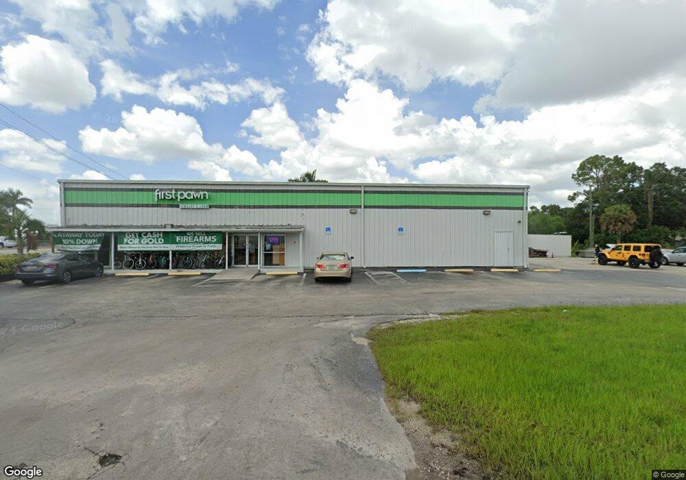
889 Airport Rd S Naples, FL 34104
East Naples NeighborhoodEstimated Value: $3,346,663
--
Bed
--
Bath
8,000
Sq Ft
$418/Sq Ft
Est. Value
About This Home
This home is located at 889 Airport Rd S, Naples, FL 34104 and is currently estimated at $3,346,663, approximately $418 per square foot. 889 Airport Rd S is a home located in Collier County with nearby schools including Shadowlawn Elementary School, Naples High School, and East Naples Middle School.
Ownership History
Date
Name
Owned For
Owner Type
Purchase Details
Closed on
Dec 9, 2024
Sold by
Commercial Productions Llc
Bought by
Cash America East Inc
Current Estimated Value
Purchase Details
Closed on
Sep 4, 2007
Sold by
L Fayard Family Lp
Bought by
Commercial Productions Llc
Home Financials for this Owner
Home Financials are based on the most recent Mortgage that was taken out on this home.
Original Mortgage
$1,600,000
Interest Rate
6.65%
Mortgage Type
Commercial
Create a Home Valuation Report for This Property
The Home Valuation Report is an in-depth analysis detailing your home's value as well as a comparison with similar homes in the area
Home Values in the Area
Average Home Value in this Area
Purchase History
| Date | Buyer | Sale Price | Title Company |
|---|---|---|---|
| Cash America East Inc | $3,500,000 | None Listed On Document | |
| Commercial Productions Llc | $1,900,000 | Attorney |
Source: Public Records
Mortgage History
| Date | Status | Borrower | Loan Amount |
|---|---|---|---|
| Previous Owner | Commercial Productions Llc | $1,600,000 |
Source: Public Records
Tax History Compared to Growth
Tax History
| Year | Tax Paid | Tax Assessment Tax Assessment Total Assessment is a certain percentage of the fair market value that is determined by local assessors to be the total taxable value of land and additions on the property. | Land | Improvement |
|---|---|---|---|---|
| 2025 | $8,257 | $2,358,636 | $1,994,237 | $364,399 |
| 2024 | $8,460 | $819,941 | $641,557 | $178,384 |
| 2023 | $8,460 | $820,449 | $641,558 | $178,891 |
| 2022 | $8,853 | $807,536 | $641,558 | $165,978 |
| 2021 | $9,663 | $846,246 | $641,558 | $204,688 |
| 2020 | $9,107 | $775,729 | $0 | $0 |
| 2019 | $8,689 | $705,208 | $0 | $0 |
| 2018 | $7,290 | $641,098 | $386,481 | $254,617 |
| 2017 | $7,235 | $631,292 | $386,481 | $244,811 |
| 2016 | $7,179 | $624,063 | $0 | $0 |
| 2015 | $7,103 | $608,509 | $0 | $0 |
| 2014 | $6,870 | $571,905 | $0 | $0 |
Source: Public Records
Map
Nearby Homes
- 3555 Avion Woods Ct Unit 501
- 3415 Poinsettia Ave
- 3505 Avion Woods Ct Unit 902
- 3100 North Rd Unit 317
- 3100 North Rd Unit 239
- 3100 North Rd Unit 303
- 3100 North Rd Unit 305
- 3100 North Rd Unit 168
- 3100 North Rd Unit 319
- 1147 Steeves Ave
- 3530 Hibiscus Ave
- 3455 Estey Ave
- 0 N A Unit MFROM709096
- 3552 Hibiscus Ave
- 2928 Hawthorne Ct
- 1063 Shadowlawn Dr
- 3915 Lotus Dr
- 3837 Estey Ave
- 3355 Seagrape Ave
- 901 Airport Rd S
- 3377 Seagrape Ave
- 3312 Seagrape Ave
- 3330 Seagrape Ave
- 834 Central Dr
- 820 Central Dr
- 3389 Seagrape Ave
- 933 Airport Rd S
- 800 Central Dr Unit 813
- 800 Central Dr
- 3374 Seagrape Ave
- 3374/3362 Seagrape Ave
- 3386 Seagrape Ave
- 3400 Seagrape Ave
- 3355 Poinsettia Ave
- 3412 Croton Rd
- 3311 Poinsettia Ave
- 989 Airport Rd S
- 3433 Seagrape Ave