889 Fisher Station Rd Durant, OK 74701
Estimated Value: $410,000 - $711,342
4
Beds
3
Baths
3,562
Sq Ft
$157/Sq Ft
Est. Value
About This Home
This home is located at 889 Fisher Station Rd, Durant, OK 74701 and is currently estimated at $559,781, approximately $157 per square foot. 889 Fisher Station Rd is a home with nearby schools including Northwest Heights Elementary School, Durant Intermediate Elementary School, and Durant Middle School.
Ownership History
Date
Name
Owned For
Owner Type
Purchase Details
Closed on
Oct 20, 2021
Sold by
Knox Kaley Brooke and Knox Taylor Anthony
Bought by
Knox Taylor Anthony and Knox Kaley Brooke
Current Estimated Value
Home Financials for this Owner
Home Financials are based on the most recent Mortgage that was taken out on this home.
Original Mortgage
$510,000
Outstanding Balance
$464,062
Interest Rate
2.8%
Mortgage Type
New Conventional
Estimated Equity
$95,719
Purchase Details
Closed on
Jul 24, 2017
Sold by
Hughes David Shawn and Hughes Julie Ann
Bought by
Knox Kaley Brooke
Create a Home Valuation Report for This Property
The Home Valuation Report is an in-depth analysis detailing your home's value as well as a comparison with similar homes in the area
Home Values in the Area
Average Home Value in this Area
Purchase History
| Date | Buyer | Sale Price | Title Company |
|---|---|---|---|
| Knox Taylor Anthony | -- | None Available | |
| Knox Kaley Brooke | -- | None Available |
Source: Public Records
Mortgage History
| Date | Status | Borrower | Loan Amount |
|---|---|---|---|
| Open | Knox Taylor Anthony | $510,000 |
Source: Public Records
Tax History Compared to Growth
Tax History
| Year | Tax Paid | Tax Assessment Tax Assessment Total Assessment is a certain percentage of the fair market value that is determined by local assessors to be the total taxable value of land and additions on the property. | Land | Improvement |
|---|---|---|---|---|
| 2025 | $5,740 | $61,734 | $3,069 | $58,665 |
| 2024 | $5,740 | $59,936 | $3,069 | $56,867 |
| 2023 | $5,740 | $58,190 | $3,069 | $55,121 |
| 2022 | $1,619 | $17,245 | $2,880 | $14,365 |
| 2021 | $1,579 | $16,424 | $2,624 | $13,800 |
| 2020 | $1,503 | $15,643 | $2,381 | $13,262 |
| 2019 | $1,351 | $14,897 | $2,148 | $12,749 |
| 2018 | $1,339 | $14,897 | $2,148 | $12,749 |
| 2017 | $118 | $1,320 | $1,320 | $0 |
Source: Public Records
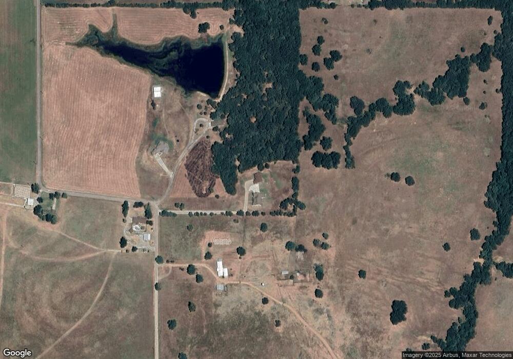
Map
Nearby Homes
- 823 Stoney Bridge Way
- 63 Grace Ln
- 0 W Highway 70
- 2176 Kirsey Rd
- 10499 W Highway 70
- 0 Hwy 70 Rd Unit 2523282
- 379 Madison St
- 5810 Benelli Blvd
- 235 Michael
- 849 Beretta Blvd
- 841 Annas Way
- 752 Annas Way
- 001 Madison Ave
- 117 Michael Ave
- 4709 Sunnyside Rd
- 180 Michael Ave
- 155 Michael Ave
- 1407 Colt Dr
- 60 S Kaylee Rd
- 5521 Kimberly Rd
- 760 Fisher Station Rd
- 848 Fisher Station Rd
- 959 Fisher Station Rd
- 881 Fisher Station Rd
- 0 Fisher Station Rd Unit 1723631
- 0 Fisher Station Rd Unit 1801208
- 0 Fisher Station Rd Unit 1816346
- 0 Fisher Station Rd Unit 1816350
- 0 Fisher Station Rd Unit 1816353
- 0 Fisher Station Rd Unit 1816354
- 0 Fisher Station Rd Unit 1816355
- 0 Fisher Station Rd Unit 1816356
- 0 Fisher Station Rd Unit 1830791
- 496 Fisher Station Rd
- 475 Fisher Station Rd
- 30 Paris Ave
- 18 Paris Ave
- 478 Cherry Ln
- 146 Paris Ave
- 477 Cherry Ln