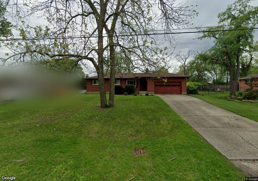
889 Locust Ln Cincinnati, OH 45245
Estimated Value: $248,672 - $317,000
3
Beds
2
Baths
1,287
Sq Ft
$219/Sq Ft
Est. Value
About This Home
This home is located at 889 Locust Ln, Cincinnati, OH 45245 and is currently estimated at $281,918, approximately $219 per square foot. 889 Locust Ln is a home located in Clermont County with nearby schools including Summerside Elementary School, West Clermont Middle School, and West Clermont High School.
Ownership History
Date
Name
Owned For
Owner Type
Purchase Details
Closed on
May 30, 1996
Sold by
Lane John T
Bought by
Morgan Scott and Morgan Christy L
Current Estimated Value
Home Financials for this Owner
Home Financials are based on the most recent Mortgage that was taken out on this home.
Original Mortgage
$90,000
Outstanding Balance
$5,745
Interest Rate
7.99%
Mortgage Type
New Conventional
Estimated Equity
$276,173
Create a Home Valuation Report for This Property
The Home Valuation Report is an in-depth analysis detailing your home's value as well as a comparison with similar homes in the area
Purchase History
| Date | Buyer | Sale Price | Title Company |
|---|---|---|---|
| Morgan Scott | $100,000 | -- |
Source: Public Records
Mortgage History
| Date | Status | Borrower | Loan Amount |
|---|---|---|---|
| Open | Morgan Scott | $90,000 |
Source: Public Records
Tax History
| Year | Tax Paid | Tax Assessment Tax Assessment Total Assessment is a certain percentage of the fair market value that is determined by local assessors to be the total taxable value of land and additions on the property. | Land | Improvement |
|---|---|---|---|---|
| 2024 | $3,278 | $65,000 | $11,410 | $53,590 |
| 2023 | $3,283 | $65,000 | $11,410 | $53,590 |
| 2022 | $3,026 | $51,940 | $9,100 | $42,840 |
| 2021 | $3,039 | $51,940 | $9,100 | $42,840 |
| 2020 | $3,042 | $51,940 | $9,100 | $42,840 |
| 2019 | $2,278 | $45,470 | $12,180 | $33,290 |
| 2018 | $2,301 | $45,470 | $12,180 | $33,290 |
| 2017 | $2,191 | $45,470 | $12,180 | $33,290 |
| 2016 | $2,191 | $39,200 | $10,500 | $28,700 |
| 2015 | $2,126 | $39,200 | $10,500 | $28,700 |
| 2014 | $2,126 | $39,200 | $10,500 | $28,700 |
| 2013 | $2,107 | $38,430 | $9,800 | $28,630 |
Source: Public Records
Map
Nearby Homes
- 921 Surrey Trail
- 4625 Locust Grove Ct
- 685 Mockingbird Ln
- 4746 Shephard Rd
- 1023 Glendale Dr
- 14 Tidewater Trace Unit 2207
- 4565 Shephard Rd
- 11 Queens Creek Unit 2101
- 646 Marieda Dr
- 4583 Creekwood Ct
- 4633 Summerside Rd
- 660 Barg Salt Run Rd
- 624 Fern Ct
- 4588 Brittwood Ln
- 598 Dedication Ln
- 4771 Klatte Rd
- 4493 Schoolhouse Rd
- 1004 Crisfield Dr Unit 129
- 1079 Kensington Ln
- 1069 Crisfield Dr
- 891 Locust Ln
- 885 Locust Ln
- 13 Locust Ln
- 13 Locust Ln Unit 13
- 7 Locust Ln Unit 7
- 10 Locust Ln Unit 10
- 9 Locust Ln Unit 9
- 3 Locust Ln Unit 3
- 8 Locust Ln Unit 8
- 4 Locust Ln Unit 4
- 6 Locust Ln Unit 6
- 899 Locust Ln
- 884 Sycamore Blvd
- 886 Sycamore Blvd
- 901 Locust Ln
- 879 Locust Ln
- 880 Sycamore Blvd
- 892 Locust Ln
- 896 Locust Ln
- 892 Sycamore Blvd