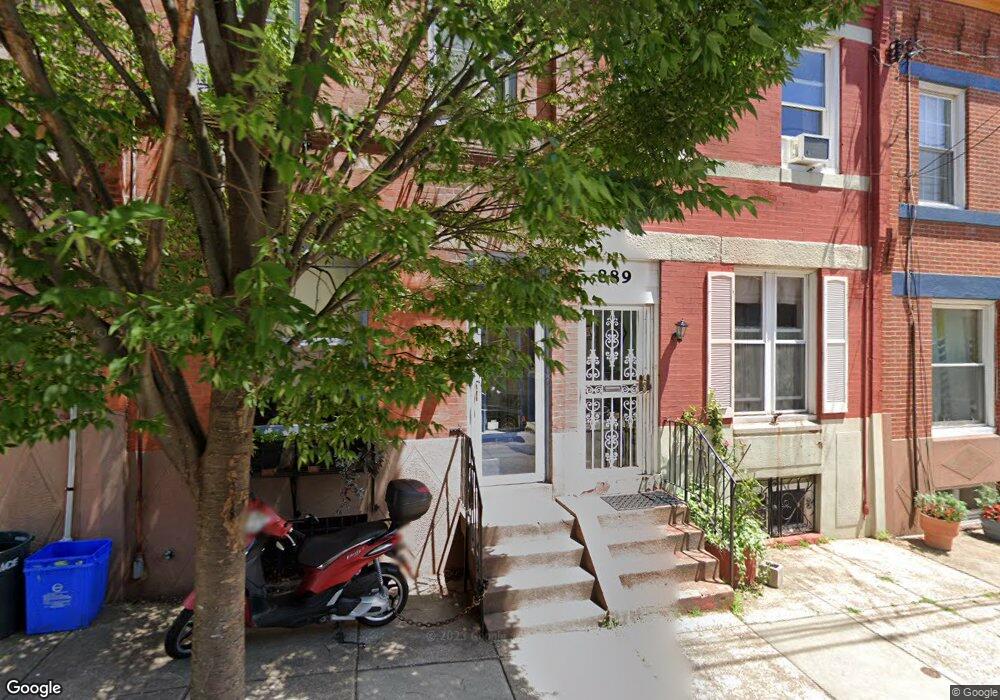
889 N Pennock St Philadelphia, PA 19130
Fairmount NeighborhoodEstimated Value: $425,536 - $485,000
3
Beds
1
Bath
1,440
Sq Ft
$317/Sq Ft
Est. Value
About This Home
This home is located at 889 N Pennock St, Philadelphia, PA 19130 and is currently estimated at $456,634, approximately $317 per square foot. 889 N Pennock St is a home located in Philadelphia County with nearby schools including Morris Robert School, Vaux High School: A. Big Picture School, and The City School-Fairmount Campus.
Ownership History
Date
Name
Owned For
Owner Type
Purchase Details
Closed on
Mar 20, 2001
Sold by
White Craig Stephen and White Laurie E
Bought by
White Laurie E
Current Estimated Value
Home Financials for this Owner
Home Financials are based on the most recent Mortgage that was taken out on this home.
Original Mortgage
$100,000
Outstanding Balance
$36,249
Interest Rate
6.96%
Estimated Equity
$420,385
Purchase Details
Closed on
Feb 26, 1998
Sold by
Pempkowski Frank J and Pempkowski Stella
Bought by
White Craig Stephen and White Laurie E
Create a Home Valuation Report for This Property
The Home Valuation Report is an in-depth analysis detailing your home's value as well as a comparison with similar homes in the area
Home Values in the Area
Average Home Value in this Area
Purchase History
| Date | Buyer | Sale Price | Title Company |
|---|---|---|---|
| White Laurie E | -- | -- | |
| White Craig Stephen | $55,000 | -- |
Source: Public Records
Mortgage History
| Date | Status | Borrower | Loan Amount |
|---|---|---|---|
| Open | White Laurie E | $100,000 |
Source: Public Records
Tax History Compared to Growth
Tax History
| Year | Tax Paid | Tax Assessment Tax Assessment Total Assessment is a certain percentage of the fair market value that is determined by local assessors to be the total taxable value of land and additions on the property. | Land | Improvement |
|---|---|---|---|---|
| 2025 | $4,451 | $358,500 | $71,700 | $286,800 |
| 2024 | $4,451 | $358,500 | $71,700 | $286,800 |
| 2023 | $4,451 | $318,000 | $63,600 | $254,400 |
| 2022 | $3,495 | $273,000 | $63,600 | $209,400 |
| 2021 | $4,125 | $0 | $0 | $0 |
| 2020 | $4,125 | $0 | $0 | $0 |
| 2019 | $3,992 | $0 | $0 | $0 |
| 2018 | $3,306 | $0 | $0 | $0 |
| 2017 | $3,306 | $0 | $0 | $0 |
| 2016 | $2,886 | $0 | $0 | $0 |
| 2015 | $2,763 | $0 | $0 | $0 |
| 2014 | -- | $236,200 | $59,867 | $176,333 |
| 2012 | -- | $29,728 | $17,746 | $11,982 |
Source: Public Records
Map
Nearby Homes
- 910 Lecount St
- 852 N 27th St
- 924 N 27th St
- 2721 Cambridge St
- 2710 W Harper St
- 878 N 26th St
- 870 N 28th St Unit 201
- 2700 W Girard Ave
- 2731 Harper St
- 2735 W Harper St
- 2739 W Harper St
- 829 Lecount St
- 2833 Poplar St
- 2835 Poplar St
- 1203 N Etting St
- 2715 W Flora St
- 2711 Brown St
- 2719 W Flora St
- 2542 W Girard Ave
- 814 N 26th St
- 878 N Pennock St Unit A
- 878 N Pennock St Unit B
- 878 N Pennock St Unit B
- 891 N Pennock St
- 887 N Pennock St
- 893 N Pennock St
- 883 N Pennock St
- 879 N Pennock St
- 2716 Poplar St
- 2714 Poplar St
- 872 N Pennock St
- 872 N Pennock St Unit A
- 874 N Pennock St Unit A
- 872 N Pennock St Unit B
- 874 N Pennock St Unit B
- 2718 Poplar St
- 877 N Pennock St
- 886 N 27th St
- 2712 Poplar St
- 878 N 27th St