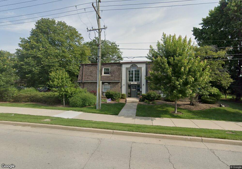
889 Trace Dr Unit 1210 Buffalo Grove, IL 60089
South Buffalo Grove NeighborhoodEstimated Value: $166,000 - $168,677
2
Beds
--
Bath
900
Sq Ft
$186/Sq Ft
Est. Value
About This Home
This home is located at 889 Trace Dr Unit 1210, Buffalo Grove, IL 60089 and is currently estimated at $167,169, approximately $185 per square foot. 889 Trace Dr Unit 1210 is a home located in Cook County with nearby schools including Edgar A. Poe Elementary School, Cooper Middle School, and Buffalo Grove High School.
Ownership History
Date
Name
Owned For
Owner Type
Purchase Details
Closed on
Sep 19, 2025
Sold by
Dml Investments Llc
Bought by
Tkachenko Ievgen and Tkachenko Nataliia
Current Estimated Value
Home Financials for this Owner
Home Financials are based on the most recent Mortgage that was taken out on this home.
Original Mortgage
$128,250
Outstanding Balance
$128,250
Interest Rate
6.58%
Mortgage Type
New Conventional
Estimated Equity
$38,919
Purchase Details
Closed on
Apr 5, 2010
Sold by
Likterev Dimitry
Bought by
Dml Investments Llc
Purchase Details
Closed on
Feb 16, 2010
Sold by
Deutsche Bank National Trust Company
Bought by
Likterev Dimitry
Purchase Details
Closed on
Dec 4, 2009
Sold by
Orduno Valeriano
Bought by
Deutsche Bank National Trust Company
Purchase Details
Closed on
Feb 5, 1999
Sold by
Kazkaz Ghaffar and Kazkaz Margaret
Bought by
Orduno Valeriano and Orduno Martha
Home Financials for this Owner
Home Financials are based on the most recent Mortgage that was taken out on this home.
Original Mortgage
$42,250
Interest Rate
7.12%
Create a Home Valuation Report for This Property
The Home Valuation Report is an in-depth analysis detailing your home's value as well as a comparison with similar homes in the area
Home Values in the Area
Average Home Value in this Area
Purchase History
| Date | Buyer | Sale Price | Title Company |
|---|---|---|---|
| Dml Investments Llc | -- | None Available | |
| Likterev Dimitry | $62,500 | Git | |
| Deutsche Bank National Trust Company | -- | None Available | |
| Orduno Valeriano | $44,500 | -- |
Source: Public Records
Mortgage History
| Date | Status | Borrower | Loan Amount |
|---|---|---|---|
| Previous Owner | Orduno Valeriano | $42,250 |
Source: Public Records
Tax History Compared to Growth
Tax History
| Year | Tax Paid | Tax Assessment Tax Assessment Total Assessment is a certain percentage of the fair market value that is determined by local assessors to be the total taxable value of land and additions on the property. | Land | Improvement |
|---|---|---|---|---|
| 2024 | $3,631 | $11,346 | $2,933 | $8,413 |
| 2023 | $3,493 | $11,346 | $2,933 | $8,413 |
| 2022 | $3,493 | $11,346 | $2,933 | $8,413 |
| 2021 | $2,224 | $6,294 | $293 | $6,001 |
| 2020 | $2,164 | $6,294 | $293 | $6,001 |
| 2019 | $2,153 | $6,954 | $293 | $6,661 |
| 2018 | $1,888 | $5,483 | $234 | $5,249 |
| 2017 | $1,853 | $5,483 | $234 | $5,249 |
| 2016 | $1,722 | $5,483 | $234 | $5,249 |
| 2015 | $1,825 | $5,371 | $1,466 | $3,905 |
| 2014 | $1,794 | $5,371 | $1,466 | $3,905 |
| 2013 | $1,659 | $5,371 | $1,466 | $3,905 |
Source: Public Records
Map
Nearby Homes
- 5 Villa Verde Dr Unit 207
- 705 Grove Dr Unit 101
- 6 Villa Verde Dr Unit 103
- 751 W Happfield Dr Unit 30
- 715 W Happfield Dr
- 476 W Happfield Dr Unit 10AL
- 18 E Heritage Ct
- 720 Weidner Rd Unit 302
- 3227 N Heritage Ln
- 3222 N Heritage Ln
- 1115 Miller Ln Unit 104
- 780 Weidner Rd Unit 300
- 715 W Whiting Ln
- 972 Thornton Ln Unit 102
- 1130 Bernard Dr
- 1149 Miller Ln Unit 107
- 859 Beechwood Rd
- 1127 Miller Ln Unit 107
- 813 Stradford Cir Unit 21B2
- 812 W Whiting Ln
- 889 Trace Dr Unit 110
- 889 Trace Dr Unit 1208
- 889 Trace Dr Unit 207
- 889 Trace Dr Unit 108
- 889 Trace Dr Unit 107
- 825 Grove Dr Unit 2136
- 825 Grove Dr Unit 1146
- 825 Grove Dr Unit 2166
- 825 Grove Dr Unit 2146
- 825 Grove Dr Unit 1156
- 825 Grove Dr Unit 2156
- 825 Grove Dr Unit 1166
- 825 Grove Dr Unit 1136
- 825 Grove Dr Unit 216
- 825 Grove Dr
- 825 Grove Dr Unit 115
- 825 Grove Dr
- 825 Grove Dr Unit 113
- 869 Trace Dr Unit 2106
- 869 Trace Dr Unit 2104