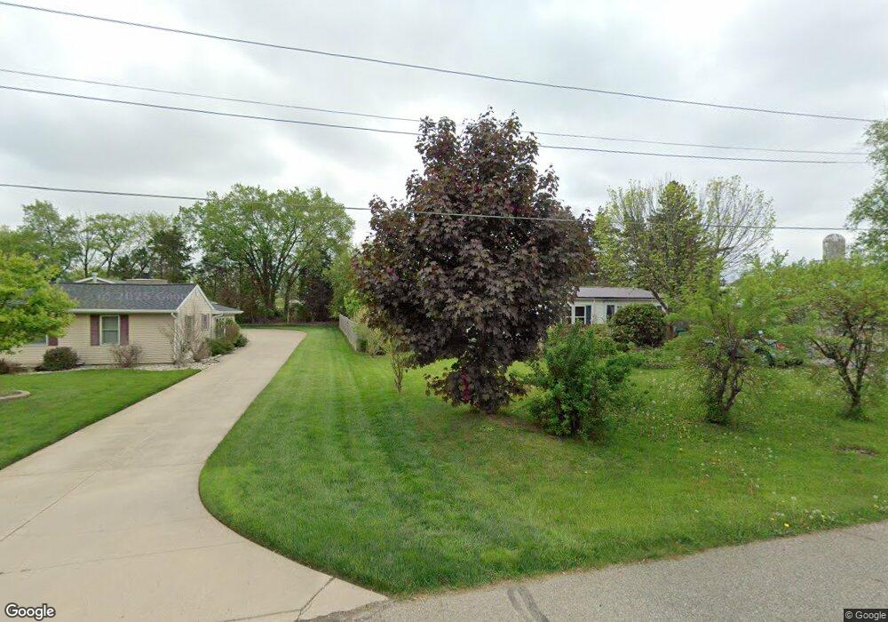
889 Tyler Rd Lennon, MI 48449
Venice Township NeighborhoodEstimated Value: $162,000 - $211,826
3
Beds
2
Baths
980
Sq Ft
$191/Sq Ft
Est. Value
About This Home
This home is located at 889 Tyler Rd, Lennon, MI 48449 and is currently estimated at $186,707, approximately $190 per square foot. 889 Tyler Rd is a home located in Shiawassee County with nearby schools including Bertha Neal Elementary School, Robert Kerr School, and Durand Middle School.
Ownership History
Date
Name
Owned For
Owner Type
Purchase Details
Closed on
Aug 8, 2017
Sold by
Rose Rufina G and Rose Gerald T
Bought by
Clemete Wesley
Current Estimated Value
Home Financials for this Owner
Home Financials are based on the most recent Mortgage that was taken out on this home.
Original Mortgage
$44,184
Outstanding Balance
$37,505
Interest Rate
4.62%
Mortgage Type
FHA
Estimated Equity
$149,202
Purchase Details
Closed on
Oct 10, 2012
Sold by
Clemente Wesley G
Bought by
Rose Gerald and Rose Rufina G
Purchase Details
Closed on
Jul 29, 2009
Sold by
Fifth Third Bank
Bought by
Rose Gerald T and Rose Rufina G
Create a Home Valuation Report for This Property
The Home Valuation Report is an in-depth analysis detailing your home's value as well as a comparison with similar homes in the area
Home Values in the Area
Average Home Value in this Area
Purchase History
| Date | Buyer | Sale Price | Title Company |
|---|---|---|---|
| Clemete Wesley | $45,000 | None Available | |
| Rose Gerald | -- | -- | |
| Rose Gerald T | $17,000 | -- |
Source: Public Records
Mortgage History
| Date | Status | Borrower | Loan Amount |
|---|---|---|---|
| Open | Clemete Wesley | $44,184 |
Source: Public Records
Tax History Compared to Growth
Tax History
| Year | Tax Paid | Tax Assessment Tax Assessment Total Assessment is a certain percentage of the fair market value that is determined by local assessors to be the total taxable value of land and additions on the property. | Land | Improvement |
|---|---|---|---|---|
| 2025 | $1,809 | $92,100 | $0 | $0 |
| 2024 | $1,691 | $92,600 | $0 | $0 |
| 2023 | $622 | $78,700 | $0 | $0 |
| 2022 | $1,133 | $65,000 | $0 | $0 |
| 2021 | $2,042 | $61,700 | $0 | $0 |
| 2020 | $2,022 | $62,400 | $0 | $0 |
| 2019 | $1,920 | $47,000 | $0 | $0 |
| 2018 | $1,867 | $47,200 | $0 | $0 |
| 2017 | $1,618 | $43,400 | $0 | $0 |
| 2016 | $27 | $43,400 | $0 | $0 |
| 2015 | $27 | $41,900 | $0 | $0 |
| 2014 | $233 | $40,700 | $0 | $0 |
Source: Public Records
Map
Nearby Homes
- 908 Tyler Rd
- 805 Oak St
- 2548 S Sheridan Rd
- V/L S Sheridan Rd
- 11295 E Lytle Rd
- 12502 W Corunna Rd
- 1936 Elmwood Dr
- 241 Raleigh Place
- TBD E Brooks Rd N of Us 69 W of M13
- 4101 lot 171 S Sheridan
- 4101 S Sheridan Rd Unit 132
- 4014 S Duffield Rd
- 11424 Corunna Rd
- 1475 S Nichols Rd
- 11415 Miller Rd
- 9895 E Brooks Rd
- 9508 E Lytle Rd
- 10141 McEnrue Rd
- 5051 Nichols Rd
- 10001 Goodall Unit 77