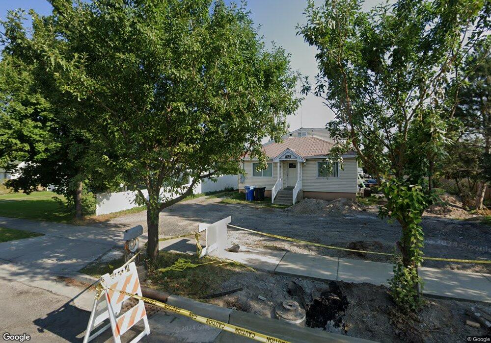
889 W 600 S Unit 47 Logan, UT 84321
Woodruff NeighborhoodEstimated Value: $484,000
--
Bed
--
Bath
--
Sq Ft
10,019
Sq Ft Lot
About This Home
This home is located at 889 W 600 S Unit 47, Logan, UT 84321 and is currently estimated at $484,000. 889 W 600 S Unit 47 is a home located in Cache County with nearby schools including Woodruff School, Mount Logan Middle School, and Logan High School.
Ownership History
Date
Name
Owned For
Owner Type
Purchase Details
Closed on
Dec 29, 2020
Sold by
Dela Cruz Javier and Valdovinos Alicia Moreno
Bought by
Nnj Investment Llc
Current Estimated Value
Purchase Details
Closed on
May 31, 2019
Sold by
Ramos Jose Luis
Bought by
Cruz Javier De La and Valdovinos Alicia Moreno
Purchase Details
Closed on
May 2, 2019
Sold by
Hernandez Byron
Bought by
Ramos Jose Luis
Purchase Details
Closed on
Oct 16, 2018
Sold by
Barfuss Kami
Bought by
Hernandez Byron
Home Financials for this Owner
Home Financials are based on the most recent Mortgage that was taken out on this home.
Original Mortgage
$19,000
Interest Rate
4.5%
Mortgage Type
Purchase Money Mortgage
Purchase Details
Closed on
Jul 12, 2017
Sold by
Elsbury Robert Sundance
Bought by
Barfuss Kami
Purchase Details
Closed on
Apr 7, 2010
Sold by
Messerly Triston J
Bought by
Elsbury Robert Sundance
Create a Home Valuation Report for This Property
The Home Valuation Report is an in-depth analysis detailing your home's value as well as a comparison with similar homes in the area
Home Values in the Area
Average Home Value in this Area
Purchase History
| Date | Buyer | Sale Price | Title Company |
|---|---|---|---|
| Nnj Investment Llc | -- | Accommodation | |
| Cruz Javier De La | -- | Advanced Title | |
| Ramos Jose Luis | -- | Advanced Title | |
| Hernandez Byron | -- | Advanced Title | |
| Barfuss Kami | -- | None Available | |
| Elsbury Robert Sundance | -- | Cache Title Company |
Source: Public Records
Mortgage History
| Date | Status | Borrower | Loan Amount |
|---|---|---|---|
| Previous Owner | Hernandez Byron | $19,000 |
Source: Public Records
Tax History Compared to Growth
Tax History
| Year | Tax Paid | Tax Assessment Tax Assessment Total Assessment is a certain percentage of the fair market value that is determined by local assessors to be the total taxable value of land and additions on the property. | Land | Improvement |
|---|---|---|---|---|
| 2025 | $267 | $34,500 | $34,500 | $0 |
| 2024 | $275 | $34,500 | $34,500 | $0 |
| 2023 | $170 | $20,240 | $20,240 | $0 |
| 2022 | $180 | $20,100 | $20,100 | $0 |
| 2021 | $212 | $20,100 | $20,100 | $0 |
| 2020 | $236 | $20,100 | $20,100 | $0 |
| 2019 | $246 | $20,100 | $20,100 | $0 |
| 2018 | $124 | $9,200 | $9,200 | $0 |
| 2017 | $116 | $8,280 | $0 | $0 |
| 2016 | $120 | $8,280 | $0 | $0 |
| 2015 | $120 | $8,280 | $0 | $0 |
| 2014 | $109 | $8,280 | $0 | $0 |
| 2013 | -- | $8,280 | $0 | $0 |
Source: Public Records
Map
Nearby Homes
- 553 Center Ave
- 501 Southwest St
- 2399 W 430 S Unit 33
- 985 W 720 S
- 736 Majestic Dr
- 658 W 500 S
- 1099 Three Pointe Ave
- 1220 W 575 S
- 548 S 1225 W Unit 115
- 542 S 1225 W Unit 116
- 518 S 1225 W
- 370 S 1200 W Unit 2
- 506 S 1225 W
- 1227 W 500 S Unit 151
- 1239 W 575 S Unit 152
- 1239 W 575 S
- 248 Sunstone Ct
- 545 S 1215 W
- Redwood Plan at Rivergate - Logan
- Madison Plan at Rivergate - Logan