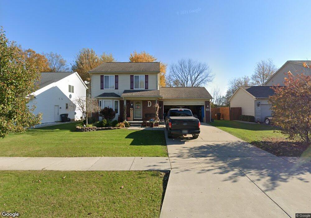
8894 Mikado Dr Newport, MI 48166
Berlin Township NeighborhoodEstimated Value: $284,000 - $320,000
3
Beds
3
Baths
1,407
Sq Ft
$211/Sq Ft
Est. Value
About This Home
This home is located at 8894 Mikado Dr, Newport, MI 48166 and is currently estimated at $296,938, approximately $211 per square foot. 8894 Mikado Dr is a home located in Monroe County with nearby schools including Airport Senior High School and St. Charles Borromeo Academy.
Ownership History
Date
Name
Owned For
Owner Type
Purchase Details
Closed on
Dec 20, 2011
Sold by
Federal Home Loan Mortgage Corporation
Bought by
Deblair Jeffrey and Deblair Michelle
Current Estimated Value
Home Financials for this Owner
Home Financials are based on the most recent Mortgage that was taken out on this home.
Original Mortgage
$118,907
Outstanding Balance
$81,223
Interest Rate
3.98%
Mortgage Type
FHA
Estimated Equity
$215,715
Purchase Details
Closed on
Dec 2, 2010
Sold by
Lambert Joe
Bought by
Federal Home Loan Mortgage Corp
Create a Home Valuation Report for This Property
The Home Valuation Report is an in-depth analysis detailing your home's value as well as a comparison with similar homes in the area
Home Values in the Area
Average Home Value in this Area
Purchase History
| Date | Buyer | Sale Price | Title Company |
|---|---|---|---|
| Deblair Jeffrey | $122,000 | -- | |
| Federal Home Loan Mortgage Corp | $112,500 | -- |
Source: Public Records
Mortgage History
| Date | Status | Borrower | Loan Amount |
|---|---|---|---|
| Open | Deblair Jeffrey | $118,907 |
Source: Public Records
Tax History Compared to Growth
Tax History
| Year | Tax Paid | Tax Assessment Tax Assessment Total Assessment is a certain percentage of the fair market value that is determined by local assessors to be the total taxable value of land and additions on the property. | Land | Improvement |
|---|---|---|---|---|
| 2025 | $2,015 | $118,800 | $118,800 | $0 |
| 2024 | $796 | $116,600 | $0 | $0 |
| 2023 | $740 | $94,500 | $0 | $0 |
| 2022 | $1,762 | $94,500 | $0 | $0 |
| 2021 | $1,701 | $91,400 | $0 | $0 |
| 2020 | $2,331 | $85,900 | $0 | $0 |
| 2019 | $1,620 | $85,900 | $0 | $0 |
| 2018 | $1,605 | $78,800 | $0 | $0 |
| 2017 | $1,519 | $78,800 | $0 | $0 |
| 2016 | $1,547 | $73,800 | $0 | $0 |
| 2015 | $1,494 | $63,562 | $0 | $0 |
| 2014 | $1,451 | $63,562 | $0 | $0 |
| 2013 | -- | $55,969 | $0 | $0 |
Source: Public Records
Map
Nearby Homes
- 9026 Rock Harbor Dr
- 4096 Stonewood Ct
- 4023 Stone Post Rd
- 8459 Talon Ct
- 01 Swan Creek Rd Swan Creek Rd
- 00000 Swan Creek Rd
- 0 Swan Creek Rd Unit 50102601
- 8489 Cobblestone Dr
- 8848 Swan Creek Rd
- 8502 Cobblestone Dr
- 8478 Cobblestone Dr
- 8584 Cobblestone Dr
- 8070 Hunters Ridge Dr
- 8082 Hunters Ridge Dr
- 8118 Hunters Ridge Dr
- 8091 Hunters Ridge Dr
- 8103 Hunters Ridge Dr
- 8127 Hunters Ridge Dr
- 8139 Hunters Ridge Dr
- 8187 Hunters Ridge Dr
- 8898 Mikado Dr
- 8890 Mikado Dr
- 8893 Mikado Dr
- 8897 Mikado Dr
- 8886 Mikado Dr
- 4296 E Newport Rd
- 8882 Mikado Dr
- 8883 Railwood Dr
- 4196 E Newport Rd
- 9006 Rock Harbor Dr
- 8879 Railwood Dr
- 9005 Rock Harbor Dr
- 9010 Rock Harbor Dr
- 9009 Rock Harbor Dr
- 4301 E Newport Rd
- 8875 Railwood Dr
- 4180 E Newport Rd
- 9014 Rock Harbor Dr
- 8878 Mikado Dr
- 9015 Rock Harbor Dr