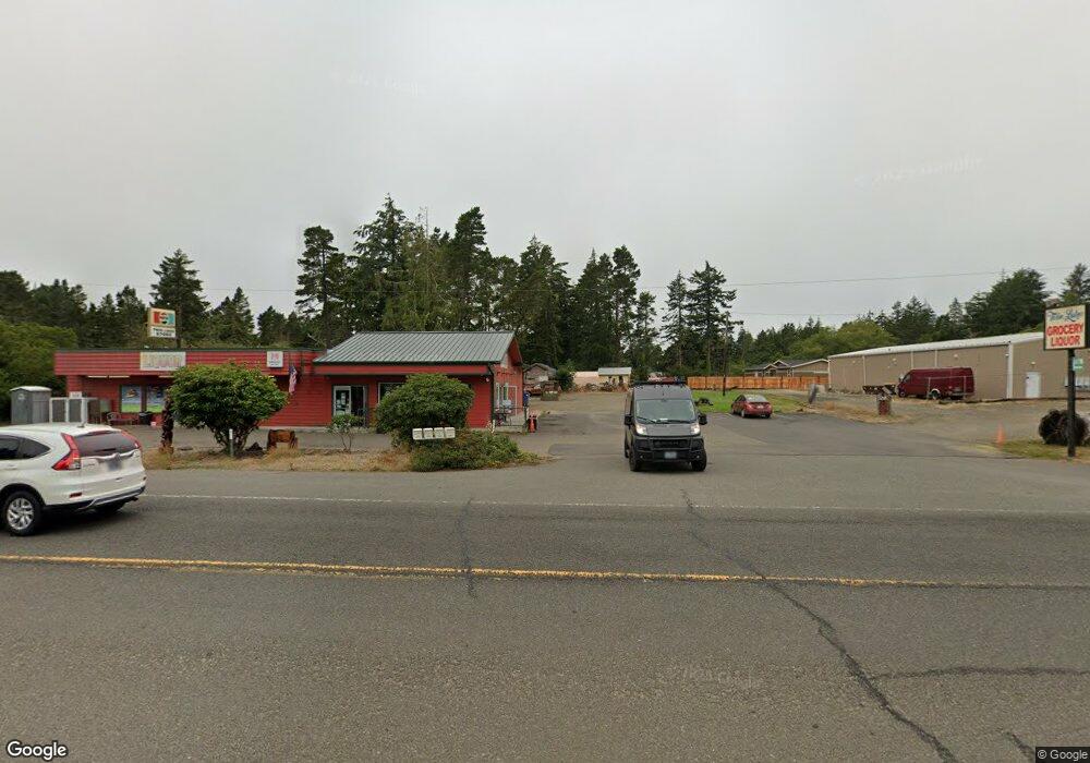
88940 Highway 101 Florence, OR 97439
Estimated Value: $541,451
--
Bed
--
Bath
1,200
Sq Ft
$451/Sq Ft
Est. Value
About This Home
This home is located at 88940 Highway 101, Florence, OR 97439 and is currently priced at $541,451, approximately $451 per square foot. 88940 Highway 101 is a home located in Lane County with nearby schools including Siuslaw Elementary School, Siuslaw Middle School, and Siuslaw High School.
Ownership History
Date
Name
Owned For
Owner Type
Purchase Details
Closed on
Jun 28, 2012
Sold by
Schroeder William A
Bought by
Ambrosio Vicki R and Ambrosio Victor E
Current Estimated Value
Home Financials for this Owner
Home Financials are based on the most recent Mortgage that was taken out on this home.
Original Mortgage
$174,000
Outstanding Balance
$74,481
Interest Rate
3.74%
Mortgage Type
Seller Take Back
Purchase Details
Closed on
Jun 26, 1992
Sold by
Chastain Ralph W and Chastain Janice J
Bought by
Schroeder William A and Schroeder Darci M
Create a Home Valuation Report for This Property
The Home Valuation Report is an in-depth analysis detailing your home's value as well as a comparison with similar homes in the area
Home Values in the Area
Average Home Value in this Area
Purchase History
| Date | Buyer | Sale Price | Title Company |
|---|---|---|---|
| Ambrosio Vicki R | $199,000 | Cascade Title Co | |
| Schroeder William A | $199,000 | Cascade Title Co |
Source: Public Records
Mortgage History
| Date | Status | Borrower | Loan Amount |
|---|---|---|---|
| Open | Ambrosio Vicki R | $174,000 |
Source: Public Records
Tax History Compared to Growth
Tax History
| Year | Tax Paid | Tax Assessment Tax Assessment Total Assessment is a certain percentage of the fair market value that is determined by local assessors to be the total taxable value of land and additions on the property. | Land | Improvement |
|---|---|---|---|---|
| 2024 | $5,986 | $548,860 | -- | -- |
| 2023 | $5,986 | $532,874 | $0 | $0 |
| 2022 | $5,574 | $517,354 | $0 | $0 |
| 2021 | $4,795 | $443,851 | $0 | $0 |
| 2020 | $4,655 | $430,924 | $0 | $0 |
| 2019 | $4,119 | $384,985 | $0 | $0 |
| 2018 | $3,142 | $180,774 | $0 | $0 |
| 2017 | $2,030 | $180,774 | $0 | $0 |
| 2016 | $1,973 | $175,509 | $0 | $0 |
| 2015 | $1,972 | $170,397 | $0 | $0 |
| 2014 | $1,941 | $165,434 | $0 | $0 |
Source: Public Records
Map
Nearby Homes
- 5509 Mercer Lake Rd
- 0 Sand Dune Park Dr Unit TL 800 254608161
- 5590 S Shore Dr
- 89228 Shore Crest Dr
- 89159 Sutton Lake Rd
- 89298 Sutton Lake Dr
- 88921 Bayberry Ln
- 89311 Sutton Lake Dr
- 89319 Sutton Lake Dr
- 0 Levage Dr Unit 5600 24415074
- 88390 Bellevue Dr
- 89492 Sutton Place
- 89510 Highway 101 Unit 26
- 89510 Highway 101 Unit 20
- 89510 Highway 101 Unit 23
- 0 Bellevue Dr Unit 6 280264605
- 5938 View Loop
- 0 View Loop Unit 3 526137347
- 0 Collard Lake Rd Unit 598901752
- 5603 Friendly Acres Rd
- 5429 Bay Berry Dr
- 5441 Bay Berry Dr
- 5425 Bay Berry Dr
- 5439 Bay Berry Dr
- 88900 Twin Lakes Ct
- 88960 Sutton Lake Rd
- Twin Lakes Ct
- 88909 Twin Lakes Ct
- 5435 Bay Berry Dr
- 88893 Twin Lakes Ct
- 88998 Highway 101
- 5454 Bay Berry Dr
- 89012 Highway 101
- 5381 Bay Berry Dr
- 5398 Sand Dune Park Dr
- 88871 U S 101
- 5346 Knoll Way
- 5350 Knoll Way
- 5350 Knoll Way Unit 1
- 5342 Knoll Way