8898 W Kings Way Kunkletown, PA 18058
Estimated Value: $147,000 - $205,000
3
Beds
1
Bath
858
Sq Ft
$207/Sq Ft
Est. Value
About This Home
This home is located at 8898 W Kings Way, Kunkletown, PA 18058 and is currently estimated at $177,453, approximately $206 per square foot. 8898 W Kings Way is a home located in Monroe County with nearby schools including Pleasant Valley Elementary School, Pleasant Valley Intermediate School, and Pleasant Valley Middle School.
Ownership History
Date
Name
Owned For
Owner Type
Purchase Details
Closed on
Dec 12, 2017
Sold by
Koehler Sheila and Koehler Lawrence W
Bought by
Sandt Danielle
Current Estimated Value
Home Financials for this Owner
Home Financials are based on the most recent Mortgage that was taken out on this home.
Original Mortgage
$50,000
Outstanding Balance
$14,465
Interest Rate
3.94%
Mortgage Type
New Conventional
Estimated Equity
$162,988
Purchase Details
Closed on
Apr 14, 1987
Bought by
Rundle Sheila R
Create a Home Valuation Report for This Property
The Home Valuation Report is an in-depth analysis detailing your home's value as well as a comparison with similar homes in the area
Home Values in the Area
Average Home Value in this Area
Purchase History
| Date | Buyer | Sale Price | Title Company |
|---|---|---|---|
| Sandt Danielle | $50,000 | None Available | |
| Rundle Sheila R | $42,300 | -- |
Source: Public Records
Mortgage History
| Date | Status | Borrower | Loan Amount |
|---|---|---|---|
| Open | Sandt Danielle | $50,000 |
Source: Public Records
Tax History Compared to Growth
Tax History
| Year | Tax Paid | Tax Assessment Tax Assessment Total Assessment is a certain percentage of the fair market value that is determined by local assessors to be the total taxable value of land and additions on the property. | Land | Improvement |
|---|---|---|---|---|
| 2025 | $500 | $77,240 | $17,600 | $59,640 |
| 2024 | $355 | $77,240 | $17,600 | $59,640 |
| 2023 | $2,200 | $77,240 | $17,600 | $59,640 |
| 2022 | $2,136 | $77,240 | $17,600 | $59,640 |
| 2021 | $2,088 | $77,240 | $17,600 | $59,640 |
| 2020 | $2,136 | $77,240 | $17,600 | $59,640 |
| 2019 | $2,125 | $12,120 | $1,250 | $10,870 |
| 2018 | $2,101 | $12,120 | $1,250 | $10,870 |
| 2017 | $2,101 | $12,120 | $1,250 | $10,870 |
| 2016 | $310 | $12,120 | $1,250 | $10,870 |
| 2015 | -- | $12,120 | $1,250 | $10,870 |
| 2014 | -- | $12,120 | $1,250 | $10,870 |
Source: Public Records
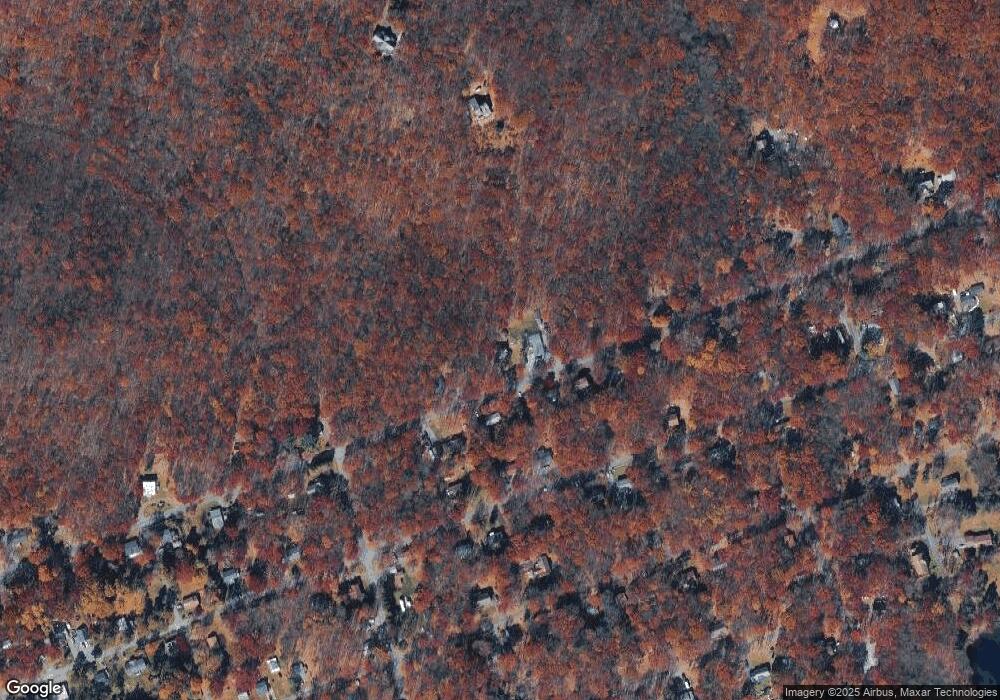
Map
Nearby Homes
- 9153 Robinhood Dr
- 8749 W Kings Way
- 8743 Sherwood Dr
- 9064 Robinhood Dr
- 131 Stone Ridge Rd
- 125 Stone Ridge Rd
- Lot K15 Lincoln Green Dr K15
- W14 Greenwood Dr
- 9081 Sherwood Dr
- 0 Mv2514 Pawnee Trail
- 2490 Pawnee Trail
- 1619 Sugar Ln
- 134 Poplar Ln
- 500 Sumac Ct
- 0 Poplar Ln 33 Ln
- 0 Poplar Ln 29 Ln
- 3 Tioga Dr
- 18 Ute Trail
- 0 Iowa Rd Unit PM-135382
- 0 Ute Trail
- 8866 W Kings Way
- 24/25 Kings Way
- 8922 W Kings Way
- 8899 Kings Way
- 8911 W Kings Way
- 8867 W Kings Way
- 8934 Kings Way
- 8835 W Kings Way
- 8802 W Kings Way
- 8866 Robinhood Dr
- 8935 W Kings Way Unit K2
- 8878 Robinhood Dr
- 8803 W Kings Way
- 8802 Robinhood Dr
- 8906 Robinhood Dr
- 0 Robinhood D Dr
- R12 Robinhood Dr
- 7D & 8D Robinhood Dr
- 7&8 D Robinhood Dr
- 5 Robinhood Dr