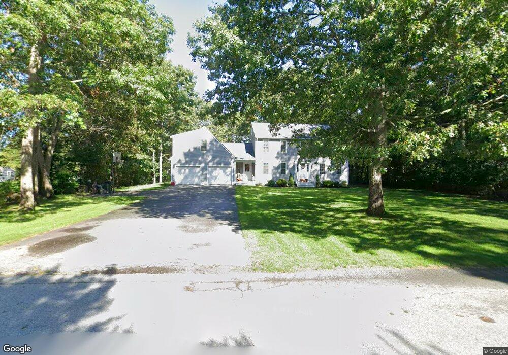
89 Andrew Ct Unit NS Swansea, MA 02777
Northeast Swansea NeighborhoodEstimated Value: $751,062 - $920,000
4
Beds
2
Baths
2,741
Sq Ft
$305/Sq Ft
Est. Value
About This Home
This home is located at 89 Andrew Ct Unit NS, Swansea, MA 02777 and is currently estimated at $836,266, approximately $305 per square foot. 89 Andrew Ct Unit NS is a home located in Bristol County with nearby schools including Joseph Case High School.
Ownership History
Date
Name
Owned For
Owner Type
Purchase Details
Closed on
Oct 29, 1997
Sold by
Homewood Dev Corp
Bought by
Wilson Derek L and Wilson Jody S
Current Estimated Value
Home Financials for this Owner
Home Financials are based on the most recent Mortgage that was taken out on this home.
Original Mortgage
$45,000
Interest Rate
7.31%
Mortgage Type
Purchase Money Mortgage
Create a Home Valuation Report for This Property
The Home Valuation Report is an in-depth analysis detailing your home's value as well as a comparison with similar homes in the area
Home Values in the Area
Average Home Value in this Area
Purchase History
| Date | Buyer | Sale Price | Title Company |
|---|---|---|---|
| Wilson Derek L | $60,000 | -- |
Source: Public Records
Mortgage History
| Date | Status | Borrower | Loan Amount |
|---|---|---|---|
| Open | Wilson Derek L | $130,000 | |
| Closed | Wilson Derek L | $60,000 | |
| Closed | Wilson Derek L | $150,000 | |
| Closed | Wilson Derek L | $45,000 |
Source: Public Records
Tax History Compared to Growth
Tax History
| Year | Tax Paid | Tax Assessment Tax Assessment Total Assessment is a certain percentage of the fair market value that is determined by local assessors to be the total taxable value of land and additions on the property. | Land | Improvement |
|---|---|---|---|---|
| 2025 | $7,283 | $611,000 | $200,000 | $411,000 |
| 2024 | $7,290 | $608,000 | $200,000 | $408,000 |
| 2023 | $6,499 | $495,000 | $148,500 | $346,500 |
| 2022 | $5,982 | $415,700 | $129,200 | $286,500 |
| 2021 | $5,893 | $377,000 | $135,000 | $242,000 |
| 2020 | $6,093 | $391,100 | $140,900 | $250,200 |
| 2019 | $5,999 | $386,800 | $121,600 | $265,200 |
| 2018 | $5,819 | $380,800 | $118,600 | $262,200 |
| 2017 | $4,949 | $372,700 | $113,500 | $259,200 |
| 2016 | $4,927 | $364,400 | $109,300 | $255,100 |
| 2015 | $4,778 | $363,900 | $109,300 | $254,600 |
| 2014 | $4,420 | $344,200 | $109,300 | $234,900 |
Source: Public Records
Map
Nearby Homes
- 19 Cedar St Unit 21
- 2660 Courtlyn Rd
- 48 Laurie Ln
- 1352 Main St
- 35 Clubhouse Dr Unit RR35
- RR33 Club House Dr Unit Lot RR33
- 0 Wellington St
- 14 Deborah Ann Dr Unit 41
- 16 Ashlynn Way
- 1240 Smith St
- 3064 Clubhouse Dr
- 47 Spring St
- 3045 Clubhouse Dr Unit Lot 75
- 3035 Clubhouse Dr Unit 6
- 3035 Clubhouse Dr Unit 8
- 3049 Clubhouse Dr Unit 77
- 3035 Clubhouse Dr Unit 2
- 3055 Clubhouse Dr Unit 80
- 3035 Clubhouse Dr
- 3035 Clubhouse Dr Unit 4