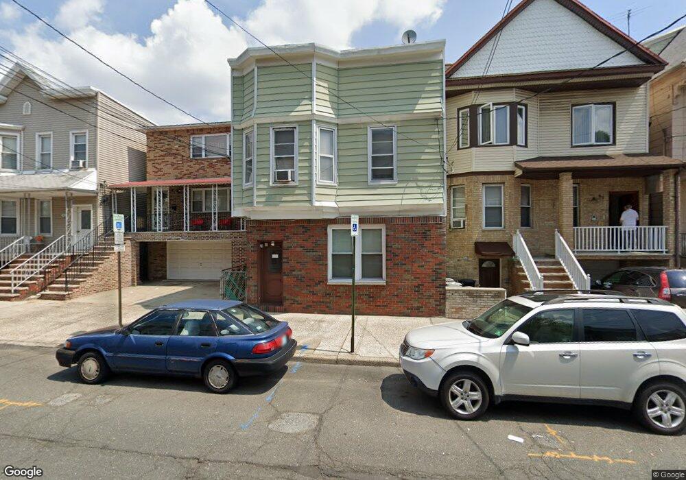
89 Andrew St Bayonne, NJ 07002
Constable Hook NeighborhoodEstimated Value: $511,024 - $642,000
--
Bed
--
Bath
1,865
Sq Ft
$310/Sq Ft
Est. Value
About This Home
This home is located at 89 Andrew St, Bayonne, NJ 07002 and is currently estimated at $578,006, approximately $309 per square foot. 89 Andrew St is a home located in Hudson County with nearby schools including Bayonne High School, All Saints Catholic Academy, and Beacon Christian Academy.
Ownership History
Date
Name
Owned For
Owner Type
Purchase Details
Closed on
Jun 14, 2004
Sold by
Kersting Anna Maria Dove and Kersting Raymond
Bought by
Kersting Raymond and Kersting Anna Maria Dove
Current Estimated Value
Purchase Details
Closed on
Mar 9, 1998
Sold by
Palmiero Anthony and Palmiero Helen
Bought by
Dove Anna Maria
Purchase Details
Closed on
Apr 4, 1995
Sold by
Palmiero Luiga A and Palmiero Luigi A
Bought by
Palmiero Anthony and Dove Maria
Create a Home Valuation Report for This Property
The Home Valuation Report is an in-depth analysis detailing your home's value as well as a comparison with similar homes in the area
Home Values in the Area
Average Home Value in this Area
Purchase History
| Date | Buyer | Sale Price | Title Company |
|---|---|---|---|
| Kersting Raymond | -- | -- | |
| Dove Anna Maria | -- | -- | |
| Palmiero Anthony | -- | -- |
Source: Public Records
Tax History Compared to Growth
Tax History
| Year | Tax Paid | Tax Assessment Tax Assessment Total Assessment is a certain percentage of the fair market value that is determined by local assessors to be the total taxable value of land and additions on the property. | Land | Improvement |
|---|---|---|---|---|
| 2025 | $8,911 | $318,700 | $155,000 | $163,700 |
| 2024 | $8,551 | $318,700 | $155,000 | $163,700 |
| 2023 | $8,551 | $318,700 | $155,000 | $163,700 |
| 2022 | $8,391 | $318,700 | $155,000 | $163,700 |
| 2021 | $8,324 | $318,700 | $155,000 | $163,700 |
| 2020 | $8,178 | $318,700 | $155,000 | $163,700 |
| 2019 | $9,890 | $114,600 | $55,000 | $59,600 |
| 2018 | $9,693 | $114,600 | $55,000 | $59,600 |
| 2017 | $9,442 | $114,600 | $55,000 | $59,600 |
| 2016 | $9,094 | $114,600 | $55,000 | $59,600 |
| 2015 | $8,794 | $114,600 | $55,000 | $59,600 |
| 2014 | $8,532 | $114,600 | $55,000 | $59,600 |
Source: Public Records
Map
Nearby Homes
- 96 W 18th St
- 95 W 17th St
- 75 W 18th St
- 490 Kennedy Blvd
- 71 W 17th St
- 69 W 19th St
- 67 W 19th St
- 422 Avenue C
- 63 W 19th St
- 505-507 John F. Kennedy Blvd
- 21 Parkside Ln
- 527 John F. Kennedy Blvd
- 374 Avenue C
- 40-46 W 20th St Unit 6
- 129 W 20th St
- 39 W 20th St
- 135 W 15th St
- 119 W 21st St
- 72 W 22nd St
- 120 W 15th St
- 87 Andrew St
- 87 Andrew St Unit 4
- 87 Andrew St Unit 1
- 85 Andrew St
- 83 Andrew St
- 91 Andrew St
- 93 Andrew St
- 93 Andrew St Unit 4
- 93 Andrew St Unit 1
- 81 Andrew St
- 81 Andrew St Unit 2R ( building in the
- 81 Andrew St Unit 2R
- 88 W 18th St
- 95 Andrew St
- 95 Andrew St Unit 2
- 95 Andrew St Unit 1
- 86 W 18th St
- 90 W 18th St
- 84 W 18th St
- 92 W 18th St