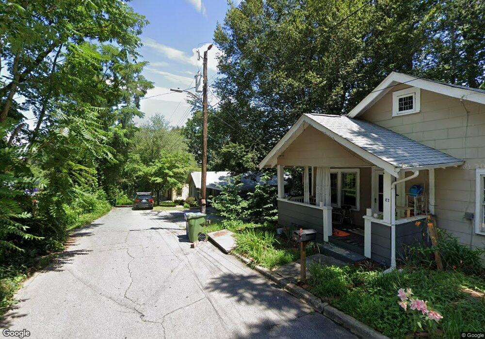
89 Argyle Ln Asheville, NC 28806
West Asheville NeighborhoodEstimated Value: $347,729 - $426,000
3
Beds
1
Bath
1,020
Sq Ft
$382/Sq Ft
Est. Value
About This Home
This home is located at 89 Argyle Ln, Asheville, NC 28806 and is currently estimated at $389,182, approximately $381 per square foot. 89 Argyle Ln is a home located in Buncombe County with nearby schools including Hall Fletcher Elementary, Isaac Dickson Elementary, and Ira B Jones Elementary.
Ownership History
Date
Name
Owned For
Owner Type
Purchase Details
Closed on
Sep 13, 2018
Sold by
Jarrett Mary Alice and Jarrett Willard
Bought by
Corral Vanessa Christina
Current Estimated Value
Home Financials for this Owner
Home Financials are based on the most recent Mortgage that was taken out on this home.
Original Mortgage
$128,000
Outstanding Balance
$112,270
Interest Rate
4.87%
Mortgage Type
Adjustable Rate Mortgage/ARM
Estimated Equity
$276,912
Create a Home Valuation Report for This Property
The Home Valuation Report is an in-depth analysis detailing your home's value as well as a comparison with similar homes in the area
Home Values in the Area
Average Home Value in this Area
Purchase History
| Date | Buyer | Sale Price | Title Company |
|---|---|---|---|
| Corral Vanessa Christina | $128,000 | None Available |
Source: Public Records
Mortgage History
| Date | Status | Borrower | Loan Amount |
|---|---|---|---|
| Open | Corral Vanessa Christina | $128,000 |
Source: Public Records
Tax History Compared to Growth
Tax History
| Year | Tax Paid | Tax Assessment Tax Assessment Total Assessment is a certain percentage of the fair market value that is determined by local assessors to be the total taxable value of land and additions on the property. | Land | Improvement |
|---|---|---|---|---|
| 2025 | $2,188 | $211,800 | $110,800 | $101,000 |
| 2024 | $2,188 | $211,800 | $110,800 | $101,000 |
| 2023 | $2,188 | $211,800 | $110,800 | $101,000 |
| 2022 | $2,112 | $211,800 | $0 | $0 |
| 2021 | $2,112 | $211,800 | $0 | $0 |
| 2020 | $1,824 | $169,200 | $0 | $0 |
| 2019 | $1,824 | $169,200 | $0 | $0 |
| 2018 | $1,824 | $169,200 | $0 | $0 |
| 2017 | $1,841 | $117,800 | $0 | $0 |
| 2016 | $1,448 | $117,800 | $0 | $0 |
| 2015 | $1,448 | $117,800 | $0 | $0 |
| 2014 | $1,430 | $117,800 | $0 | $0 |
Source: Public Records
Map
Nearby Homes
- 43 Argyle Ln
- 113 Burton St
- 31 Westwood Place
- 34 Vandalia Ave
- 259 Waynesville Ave Unit 1
- 20 Vandalia Ave
- 266 Waynesville Ave
- 68 Vandalia Ave
- 135 Westwood Place
- 127 Pennsylvania Ave
- 63 Vandalia Ave
- 26 Hanover St
- 37 Bryant St
- 140 Pennsylvania Ave
- 199 Pennsylvania Ave
- 109 Richmond Ave
- 81 Tremont St
- 52 Boyd Ave
- 69 Branning St
- 77 Tremont St