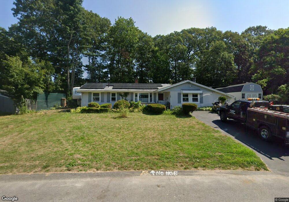
89 Bernard Rd Brockton, MA 02302
Montello NeighborhoodEstimated Value: $445,000 - $493,000
3
Beds
1
Bath
1,344
Sq Ft
$351/Sq Ft
Est. Value
About This Home
This home is located at 89 Bernard Rd, Brockton, MA 02302 and is currently estimated at $471,810, approximately $351 per square foot. 89 Bernard Rd is a home located in Plymouth County with nearby schools including Brookfield Elementary School, Mary E. Baker Elementary School, and Downey Elementary School.
Create a Home Valuation Report for This Property
The Home Valuation Report is an in-depth analysis detailing your home's value as well as a comparison with similar homes in the area
Home Values in the Area
Average Home Value in this Area
Tax History
| Year | Tax Paid | Tax Assessment Tax Assessment Total Assessment is a certain percentage of the fair market value that is determined by local assessors to be the total taxable value of land and additions on the property. | Land | Improvement |
|---|---|---|---|---|
| 2025 | $5,320 | $439,300 | $165,300 | $274,000 |
| 2024 | $4,994 | $415,500 | $165,300 | $250,200 |
| 2023 | $4,697 | $361,900 | $115,900 | $246,000 |
| 2022 | $4,388 | $314,100 | $105,300 | $208,800 |
| 2021 | $4,231 | $291,800 | $99,200 | $192,600 |
| 2020 | $4,307 | $284,300 | $86,400 | $197,900 |
| 2019 | $3,869 | $249,000 | $83,100 | $165,900 |
| 2018 | $3,748 | $233,400 | $83,100 | $150,300 |
| 2017 | $3,362 | $208,800 | $83,100 | $125,700 |
| 2016 | $3,411 | $196,500 | $79,200 | $117,300 |
| 2015 | $3,047 | $167,900 | $79,200 | $88,700 |
| 2014 | $3,068 | $169,200 | $79,200 | $90,000 |
Source: Public Records
Map
Nearby Homes
- 170 Elsie Rd
- 275 Jon Dr
- 133 Ardsley Cir
- 61 Kent St
- 40 Christopher Rd
- 1004 S Franklin St
- 265 Winter St
- 215 North Ave
- 105 Oscar Ave
- 45 Braintree Ave
- 12 Hamilton Way
- 18 Banks St
- 31 Atlanta St
- 81 Dixon Rd
- 89 Dixon Rd
- 30 Intervale St
- 29 Saint Casimir Ave
- 115 Ames St
- 719 S Franklin St Unit C Block 1
- 97 Studley Ave
Your Personal Tour Guide
Ask me questions while you tour the home.