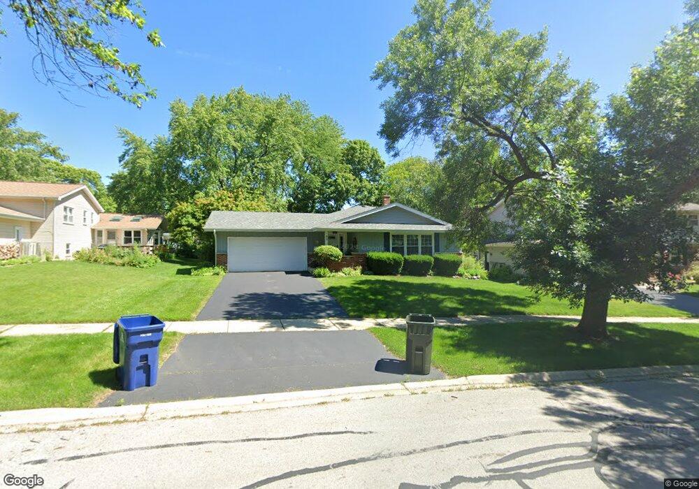
89 Bluebird Ln Naperville, IL 60565
Maple Brook NeighborhoodEstimated Value: $482,886 - $592,000
About This Home
This home is located at 89 Bluebird Ln, Naperville, IL 60565 and is currently estimated at $535,722, approximately $353 per square foot. 89 Bluebird Ln is a home located in DuPage County with nearby schools including Maplebrook Elementary School, Lincoln Jr. High School, and Naperville Central High School.
Ownership History
We collect this data history from publicly available records. To have your information removed, we recommend requesting removal directly through your county’s website.
Purchase Details
Purchase Details
Purchase Details
Home Values in the Area
Average Home Value in this Area
Purchase History
We collect this data history from publicly available records. To have your information removed, we recommend requesting removal directly through your county’s website.
| Date | Buyer | Sale Price | Title Company |
|---|---|---|---|
| -- | Wheatland Title | ||
| -- | None Listed On Document | ||
| $165,000 | Attorneys Title Guaranty Fun |
Tax History
We collect this data history from publicly available records. To have your information removed, we recommend requesting removal directly through your county’s website.
| Year | Tax Paid | Tax Assessment Tax Assessment Total Assessment is a certain percentage of the fair market value that is determined by local assessors to be the total taxable value of land and additions on the property. | Land | Improvement |
|---|---|---|---|---|
| 2024 | $8,499 | $146,736 | $74,343 | $72,393 |
| 2023 | $8,182 | $133,920 | $67,850 | $66,070 |
| 2022 | $7,866 | $127,540 | $64,620 | $62,920 |
| 2021 | $7,576 | $122,720 | $62,180 | $60,540 |
| 2020 | $7,413 | $120,510 | $61,060 | $59,450 |
| 2019 | $7,194 | $115,300 | $58,420 | $56,880 |
| 2018 | $7,011 | $112,480 | $56,990 | $55,490 |
| 2017 | $6,867 | $108,690 | $55,070 | $53,620 |
| 2016 | $6,727 | $104,760 | $53,080 | $51,680 |
| 2015 | $6,679 | $98,660 | $49,990 | $48,670 |
| 2014 | $6,547 | $93,960 | $47,610 | $46,350 |
| 2013 | $6,449 | $94,180 | $47,720 | $46,460 |
Map
- 80 Bluebird Ln
- 1544 Clyde Dr
- 80 Bunting Ln
- 1644 Verdin Ln
- 1431 Terrance Dr
- 233 Terrance Dr
- 52 Redstart Rd
- 1236 Sandpiper Ln
- 151 Pier Ct
- 1641 Cove Ct Unit 4
- 1736 Clyde Dr
- 1229 Atlas Ln
- 5 Redstart Rd
- 8S510 Oxford Ln
- 212 Tamarack Ave
- 1321 Carol Ln
- 1714 S Washington St Unit 1714
- 1317 Carol Ln
- 1736 S Washington St Unit G33
- 329 Tupelo Ave
Ask me questions while you tour the home.