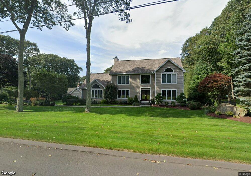
89 Branden Way Tolland, CT 06084
Estimated Value: $561,000 - $632,000
3
Beds
3
Baths
2,620
Sq Ft
$234/Sq Ft
Est. Value
About This Home
This home is located at 89 Branden Way, Tolland, CT 06084 and is currently estimated at $612,848, approximately $233 per square foot. 89 Branden Way is a home located in Tolland County with nearby schools including Birch Grove Primary School, Tolland Intermediate School, and Tolland Middle School.
Ownership History
Date
Name
Owned For
Owner Type
Purchase Details
Closed on
Sep 19, 1994
Sold by
Lee & Lamont Rlty
Bought by
Kamm Donald and Marion Barbara
Current Estimated Value
Home Financials for this Owner
Home Financials are based on the most recent Mortgage that was taken out on this home.
Original Mortgage
$203,000
Interest Rate
6%
Mortgage Type
Unknown
Create a Home Valuation Report for This Property
The Home Valuation Report is an in-depth analysis detailing your home's value as well as a comparison with similar homes in the area
Home Values in the Area
Average Home Value in this Area
Purchase History
| Date | Buyer | Sale Price | Title Company |
|---|---|---|---|
| Kamm Donald | $57,500 | -- | |
| Kamm Donald | $57,500 | -- |
Source: Public Records
Mortgage History
| Date | Status | Borrower | Loan Amount |
|---|---|---|---|
| Closed | Kamm Donald | $175,000 | |
| Closed | Kamm Donald | $182,000 | |
| Closed | Kamm Donald | $176,900 | |
| Closed | Kamm Donald | $203,000 |
Source: Public Records
Tax History Compared to Growth
Tax History
| Year | Tax Paid | Tax Assessment Tax Assessment Total Assessment is a certain percentage of the fair market value that is determined by local assessors to be the total taxable value of land and additions on the property. | Land | Improvement |
|---|---|---|---|---|
| 2025 | $10,778 | $396,400 | $74,600 | $321,800 |
| 2024 | $9,484 | $251,100 | $71,000 | $180,100 |
| 2023 | $9,374 | $251,100 | $71,000 | $180,100 |
| 2022 | $9,185 | $251,100 | $71,000 | $180,100 |
| 2021 | $9,318 | $251,100 | $71,000 | $180,100 |
| 2020 | $9,052 | $251,100 | $71,000 | $180,100 |
| 2019 | $9,460 | $262,400 | $73,200 | $189,200 |
| 2018 | $9,184 | $262,400 | $73,200 | $189,200 |
| 2017 | $8,971 | $262,400 | $73,200 | $189,200 |
| 2016 | $8,971 | $262,400 | $73,200 | $189,200 |
| 2015 | $8,754 | $262,400 | $73,200 | $189,200 |
| 2014 | $8,346 | $268,800 | $81,300 | $187,500 |
Source: Public Records
Map
Nearby Homes
- 109 Timber Trail
- 41 Timber Trail
- 50 Josephine Way
- 15 Carter Dr
- 38 Josephine Way
- 26 Josephine Way
- 39 Josephine Way
- 32 Josephine Way
- 69 Tolland Farms Rd
- 208 New Rd
- 247 Mountain Spring Rd
- 197 New Rd
- 15 Elm Rd
- 95 Old Kent Rd N
- 73 Belvedere (Osprey Ii) Dr
- 69 Belvedere (Lofton Ii) Dr
- 65 Belvedere (Lofton Ii) Dr
- 68 Belvedere (Broadmoor) Dr
- 64 Belvedere (Broadmoor) Dr
- 31 Lawlor Rd
- 81 Branden Way
- 80 Branden Way
- 116 Timber Trail
- 97 Branden Way
- 71 Branden Way
- 98 Branden Way
- 117 Timber Trail
- 70 Branden Way
- 108 Timber Trail
- 150 Timber Trail
- 143 Timber Trail
- 104 Timber Trail
- 102 Branden Way
- 63 Branden Way
- 101 Timber Trail
- 155 Timber Trail
- 56 Branden Way
- 91 Timber Trail
- 55 Branden Way
- 170 Timber Trail