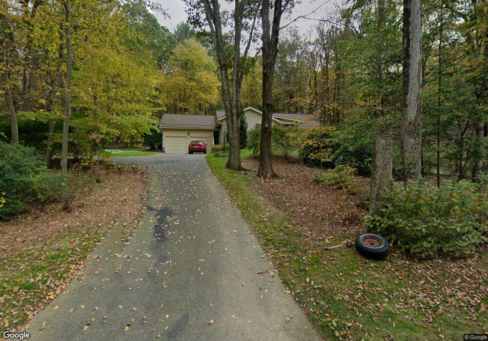
89 Burbank Rd Tolland, CT 06084
Estimated Value: $392,000 - $420,000
3
Beds
3
Baths
1,410
Sq Ft
$289/Sq Ft
Est. Value
About This Home
This home is located at 89 Burbank Rd, Tolland, CT 06084 and is currently estimated at $407,584, approximately $289 per square foot. 89 Burbank Rd is a home located in Tolland County with nearby schools including Birch Grove Primary School, Tolland Intermediate School, and Tolland Middle School.
Ownership History
Date
Name
Owned For
Owner Type
Purchase Details
Closed on
Oct 4, 1993
Sold by
Nisley Edward and Nisley Mary
Bought by
Golnik David and Golnik Yvonne
Current Estimated Value
Home Financials for this Owner
Home Financials are based on the most recent Mortgage that was taken out on this home.
Original Mortgage
$126,000
Interest Rate
7%
Mortgage Type
Unknown
Create a Home Valuation Report for This Property
The Home Valuation Report is an in-depth analysis detailing your home's value as well as a comparison with similar homes in the area
Home Values in the Area
Average Home Value in this Area
Purchase History
| Date | Buyer | Sale Price | Title Company |
|---|---|---|---|
| Golnik David | $140,000 | -- | |
| Golnik David | $140,000 | -- |
Source: Public Records
Mortgage History
| Date | Status | Borrower | Loan Amount |
|---|---|---|---|
| Open | Golnik David | $148,000 | |
| Closed | Golnik David | $126,000 | |
| Previous Owner | Golnik David | $70,000 |
Source: Public Records
Tax History Compared to Growth
Tax History
| Year | Tax Paid | Tax Assessment Tax Assessment Total Assessment is a certain percentage of the fair market value that is determined by local assessors to be the total taxable value of land and additions on the property. | Land | Improvement |
|---|---|---|---|---|
| 2025 | $6,232 | $229,200 | $72,600 | $156,600 |
| 2024 | $5,786 | $153,200 | $69,300 | $83,900 |
| 2023 | $5,719 | $153,200 | $69,300 | $83,900 |
| 2022 | $5,604 | $153,200 | $69,300 | $83,900 |
| 2021 | $5,685 | $153,200 | $69,300 | $83,900 |
| 2020 | $5,523 | $153,200 | $69,300 | $83,900 |
| 2019 | $5,591 | $155,100 | $71,400 | $83,700 |
| 2018 | $5,429 | $155,100 | $71,400 | $83,700 |
| 2017 | $5,303 | $155,100 | $71,400 | $83,700 |
| 2016 | $5,303 | $155,100 | $71,400 | $83,700 |
| 2015 | $5,174 | $155,100 | $71,400 | $83,700 |
| 2014 | $5,257 | $169,300 | $79,400 | $89,900 |
Source: Public Records
Map
Nearby Homes
- 377 Tolland Stage Rd
- 89 Tolland Green
- 00 Tolland Stage Rd
- 714 Tolland Stage Rd
- 319 Tolland Stage Rd
- 335 Old Post Rd
- 25 Josephine Way
- 73 Eaton Rd
- 6 Dorothea Ln Unit 6
- 31 Hartford Turnpike
- 84 Browns Bridge Rd
- 20 Josephine Way
- 257 Torry Rd
- 95 Old Kent Rd N
- 395 Old Stafford Rd
- 247 Mountain Spring Rd
- 461 Old Stafford Rd
- 476 Old Stafford Rd
- 32 Josephine Way
- 26 Josephine Way
- 79 Burbank Rd
- 97 Burbank Rd
- 67 Burbank Rd
- 53 Burbank Rd
- 120 Burbank Rd
- 148 Peter Green Rd
- 128 Peter Green Rd
- 118 Peter Green Rd
- 35 Burbank Rd
- 545 Tolland Stage Rd
- 32 Burbank Rd
- 170 Peter Green Rd
- 535 Tolland Stage Rd
- 110 Peter Green Rd
- 151 Peter Green Rd
- 48 Peter Green Rd
- 523 Tolland Stage Rd
- 40 Peter Green Rd
- 60 Peter Green Rd
- 102 Peter Green Rd